Day 164 NH/ME State Line to Tentsite (Mile 1917.8)

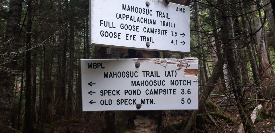
From the border sign I knew I had 6 miles before I would reach Mahoosuc Notch (also known as the the slowest mile on the AT). I figured I would breeze through the 6 miles and then take my time when I got there around lunch-time.

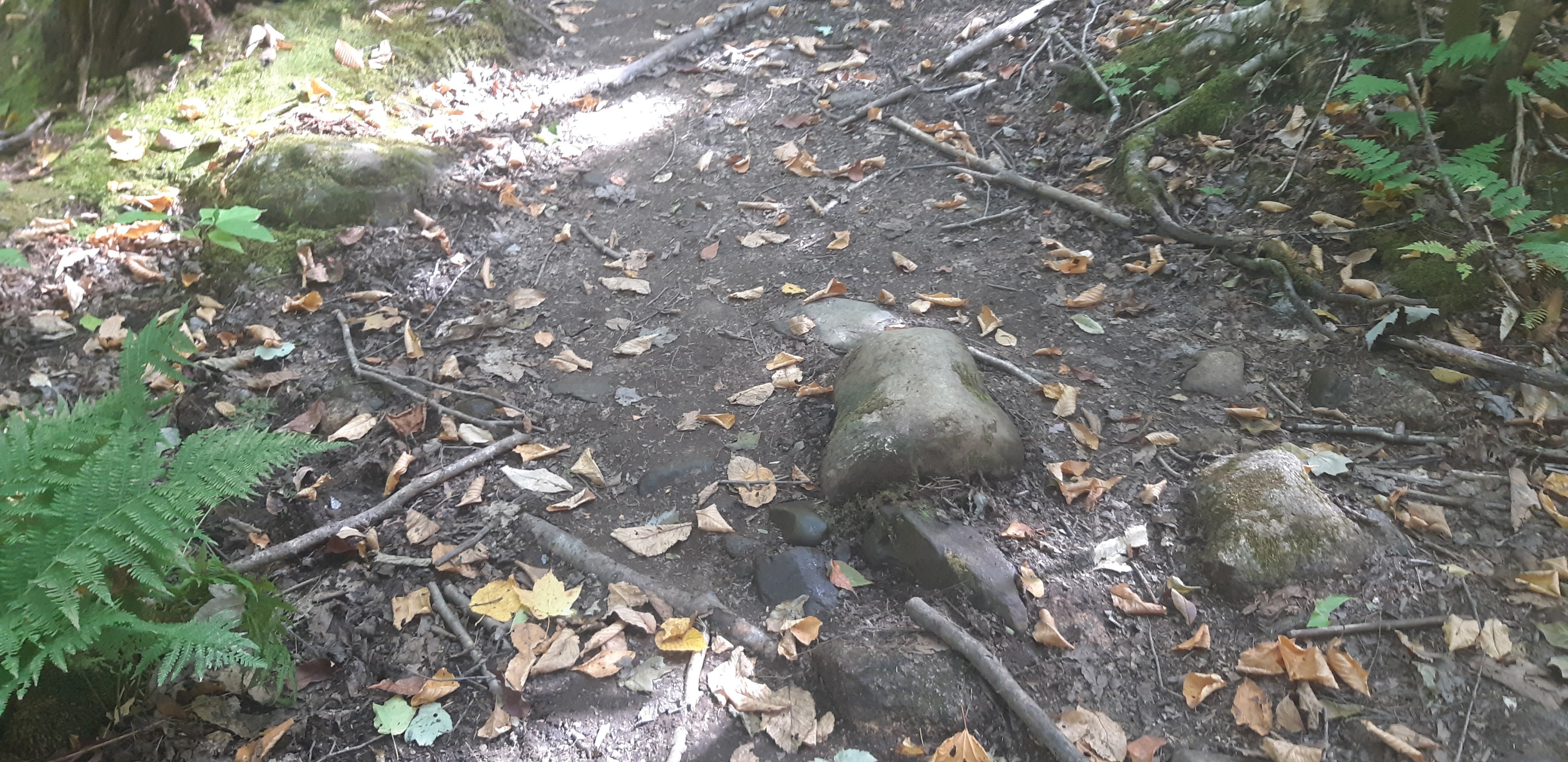
It turns out the first 6 miles were very steep and I didn’t reach Mahoosuc Notch until early afternoon.
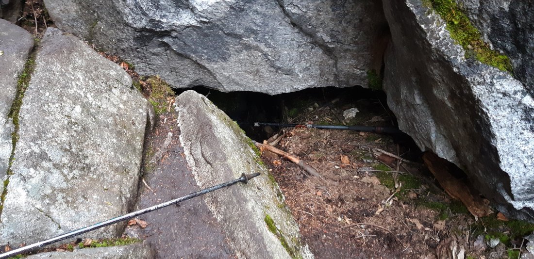
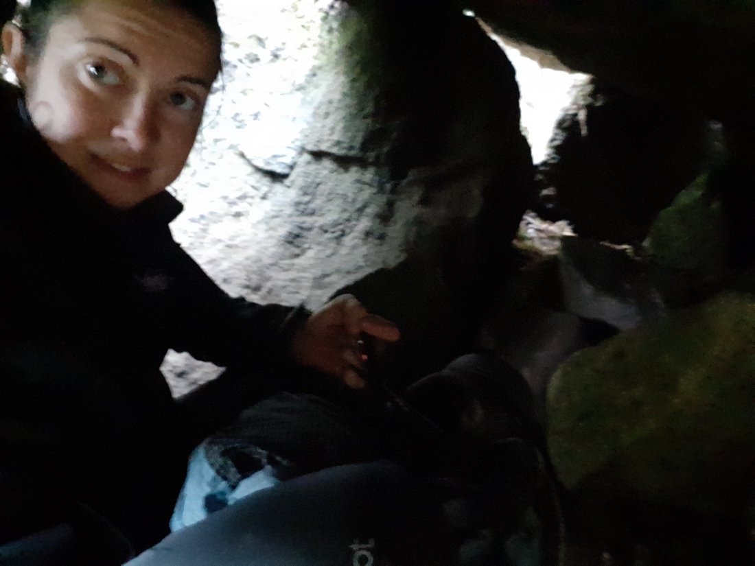
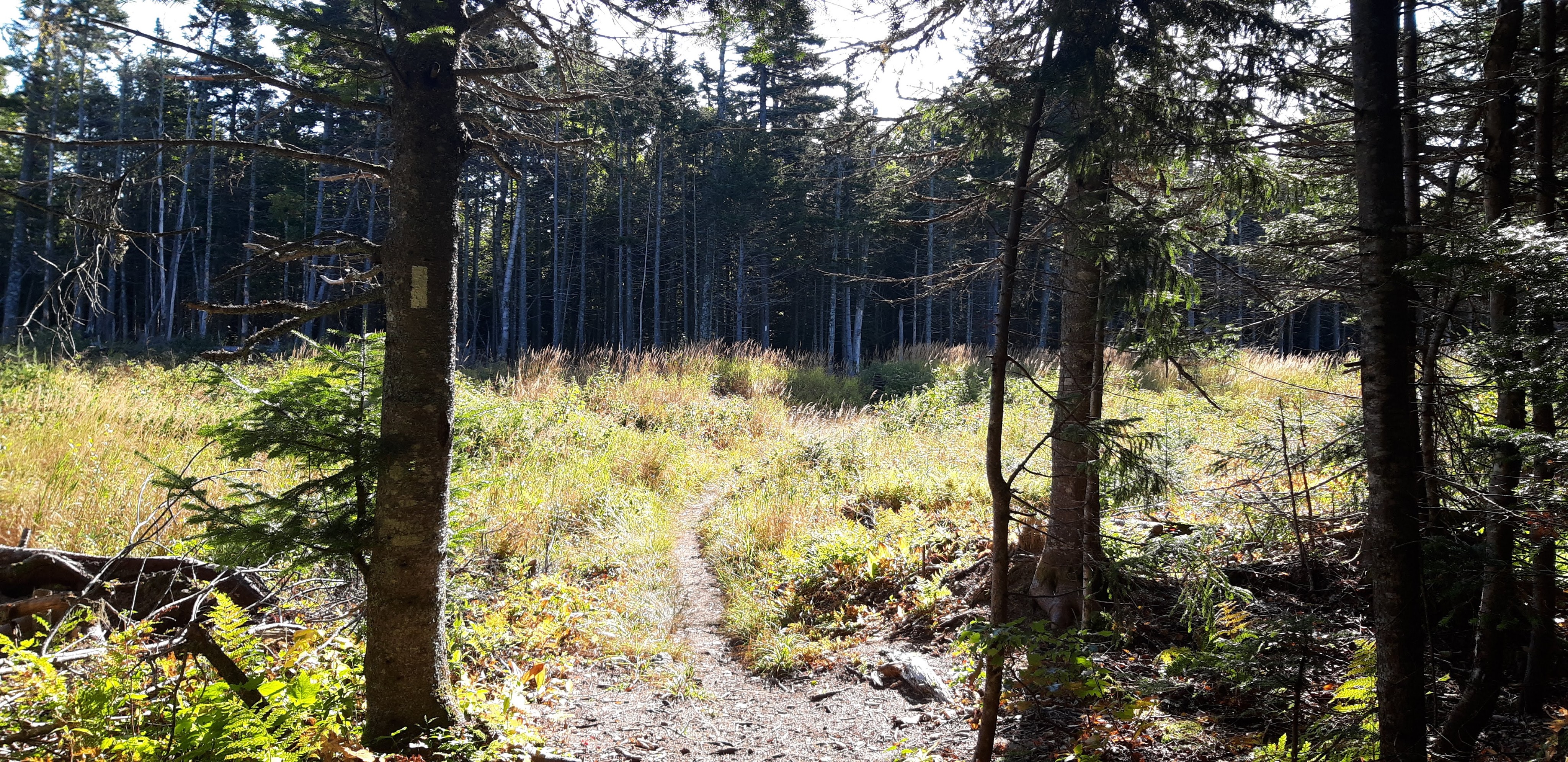
Mahoosuc Notch was like figuring out a puzzle every time I wanted to move forward. I frequently removed my pack and either sent it over a boulder, or pulled it behind me under a boulder. I dropped my trekking poles several times so I could climb down from steep rocks (I almost dropped them in a deep dark hole by accident).
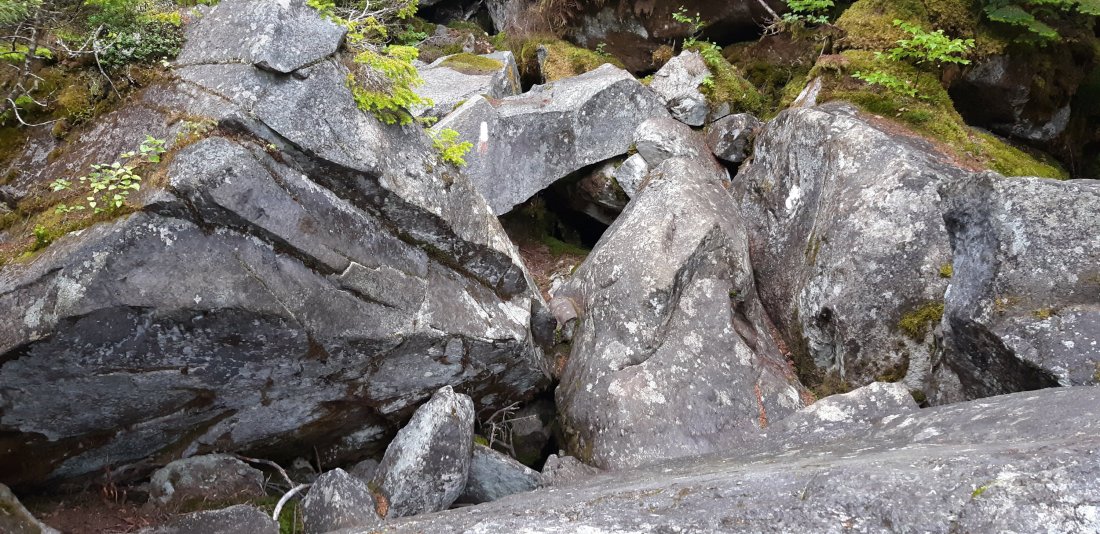


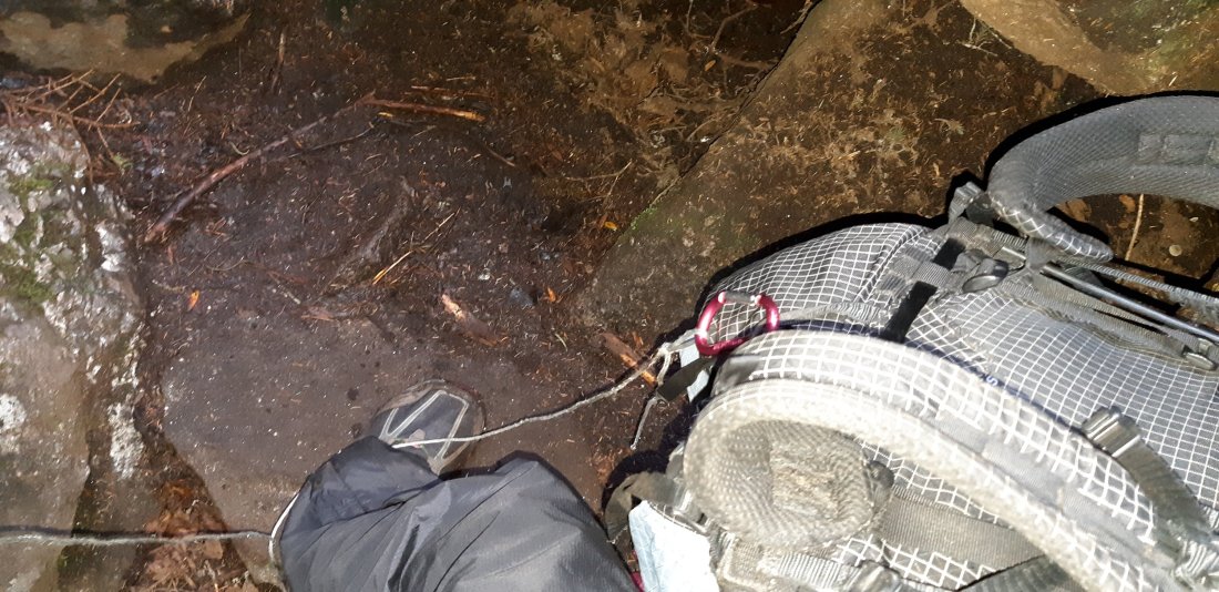
I used my bear cord to lower my pack down over large steep boulders a few times. Altogether, this 1 mile took me a little over 2 hours to complete. Shortly after this section was a tent site, where I decided to call it a day with a total of 7 miles for the day.
Day 165 Tentsite to Dunn Notch and Falls (Mile 1934.3)
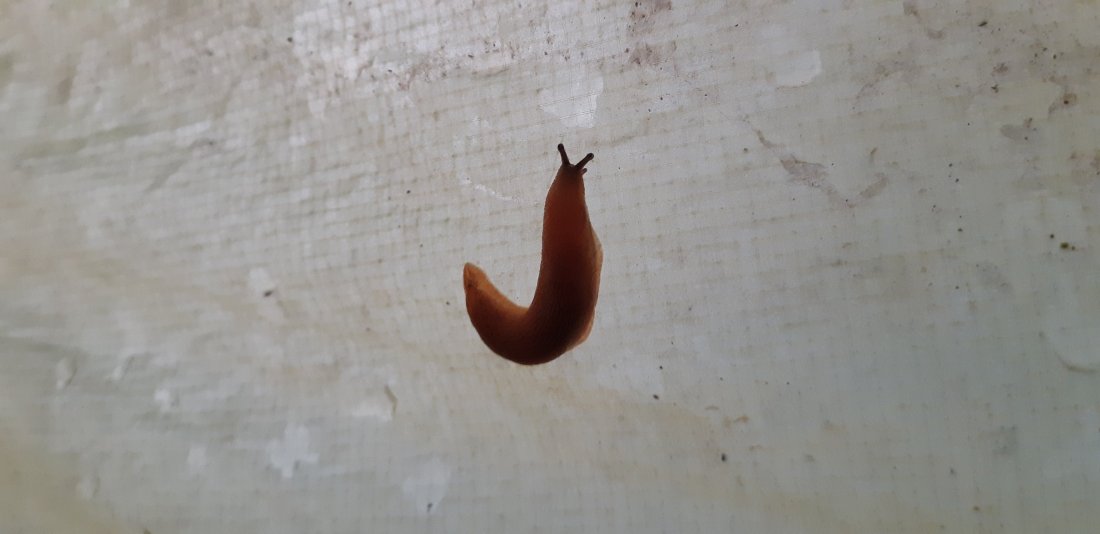
Today is my birthday! I woke up to find this little slug on my tent. I love slugs and snails, so I knew this was going to be a good day. Plus the slowest mile on the AT is now behind me.
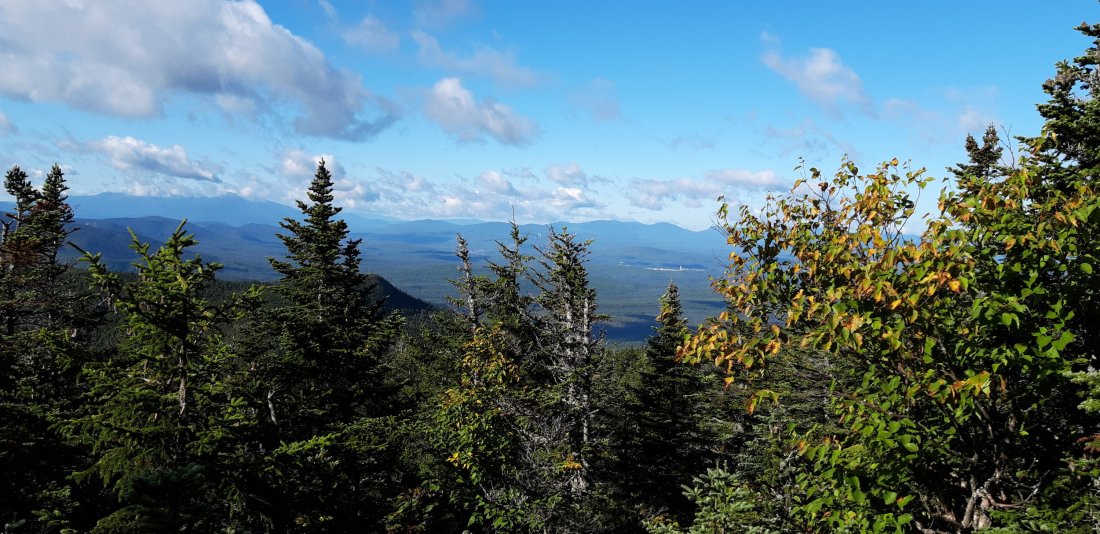
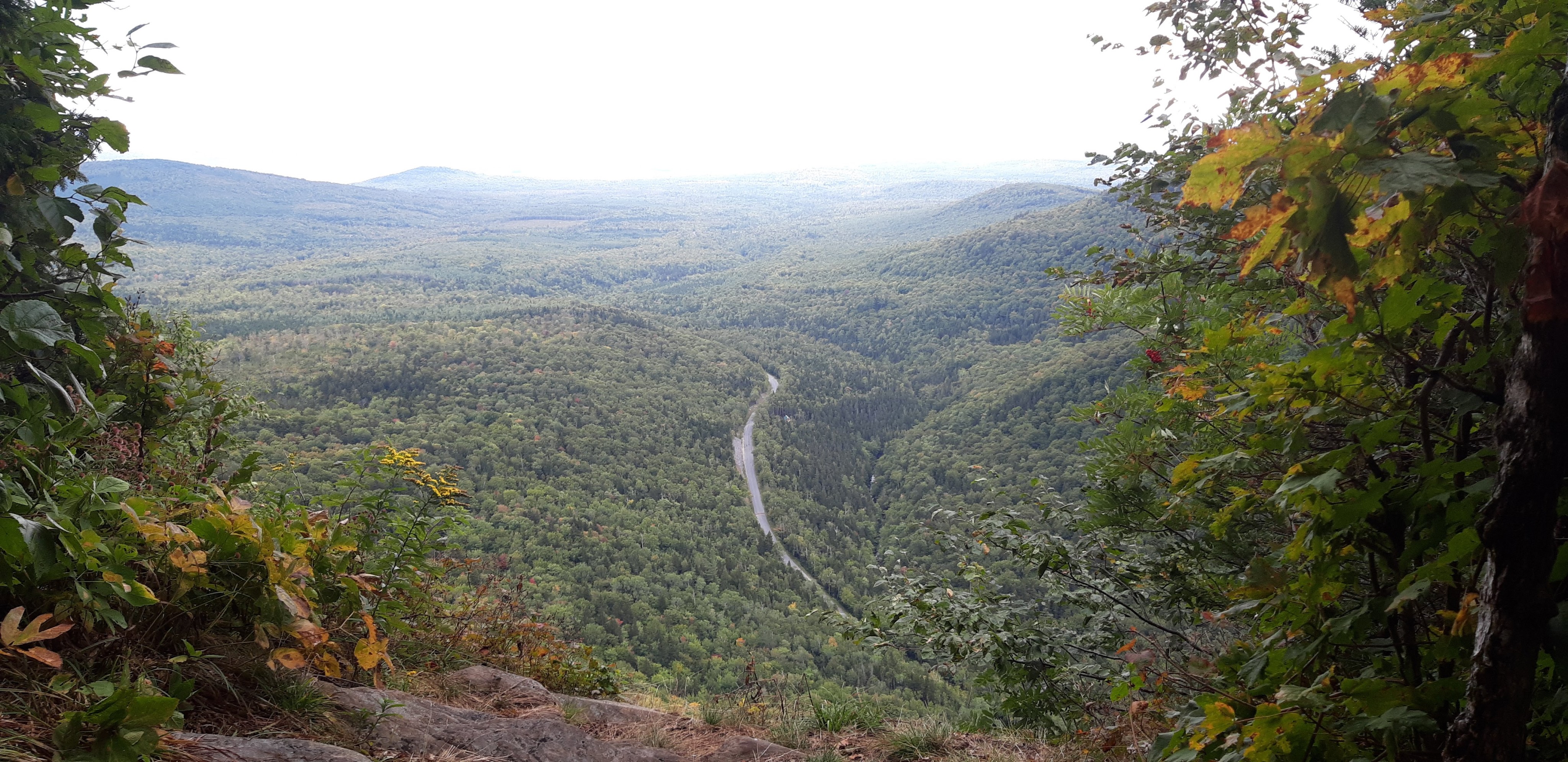
Today was actually a perfect day for hiking. I saw a beautiful view in the morning from the top of Mahoosuc Arm.

And I failed to make it across a poorly constructed bog bridge without submerging my leg in mud. But I was grateful that it was only 1 leg, and not my whole body. I was also happy I decided to wear shorts and not long pants today.

Not long after that happened, I found this pond to wash off my muddy leg.
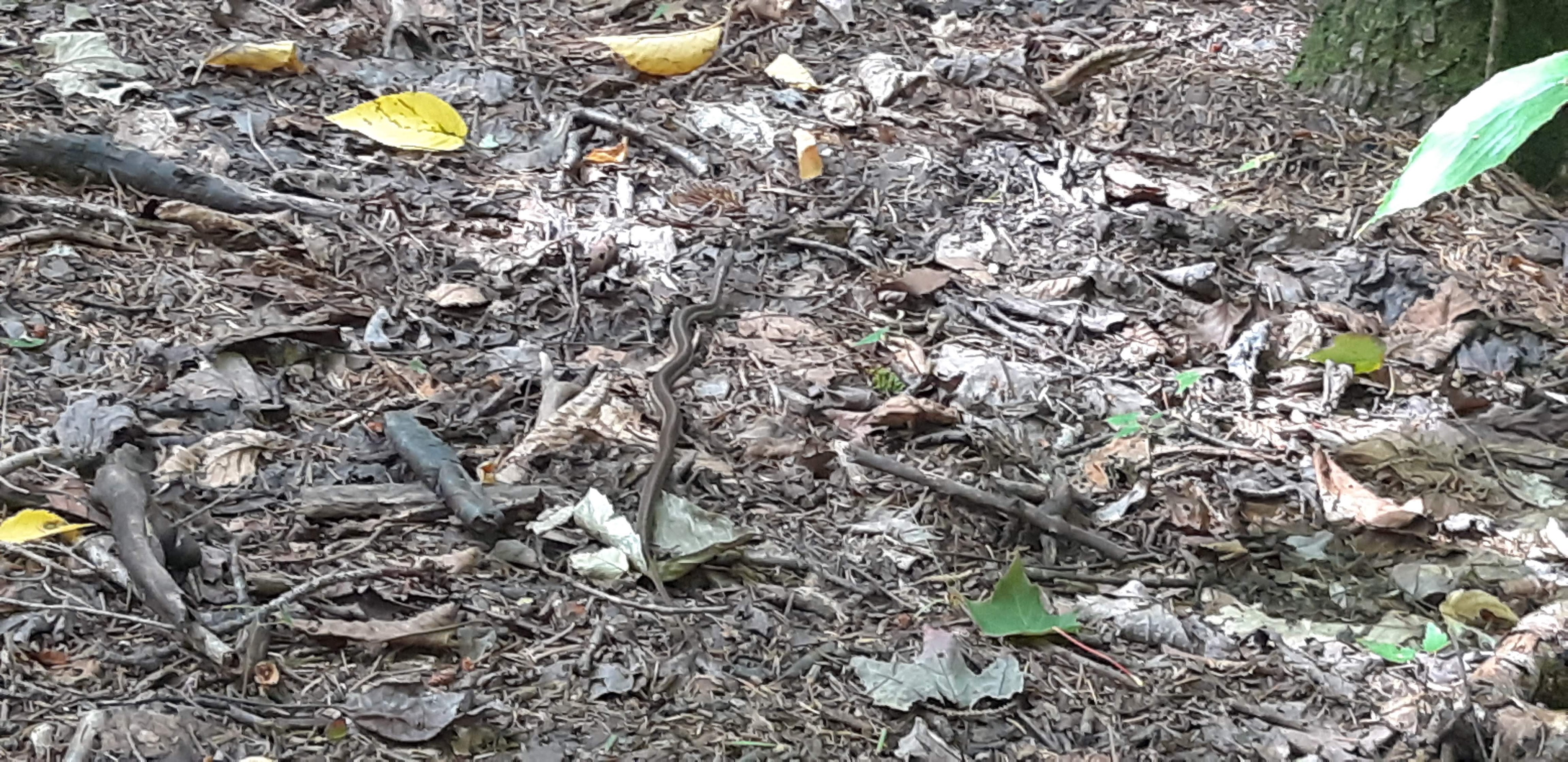
I saw a snake! I have actually seen 3 snakes so far just in Maine. I don’t think any of them are venomous.
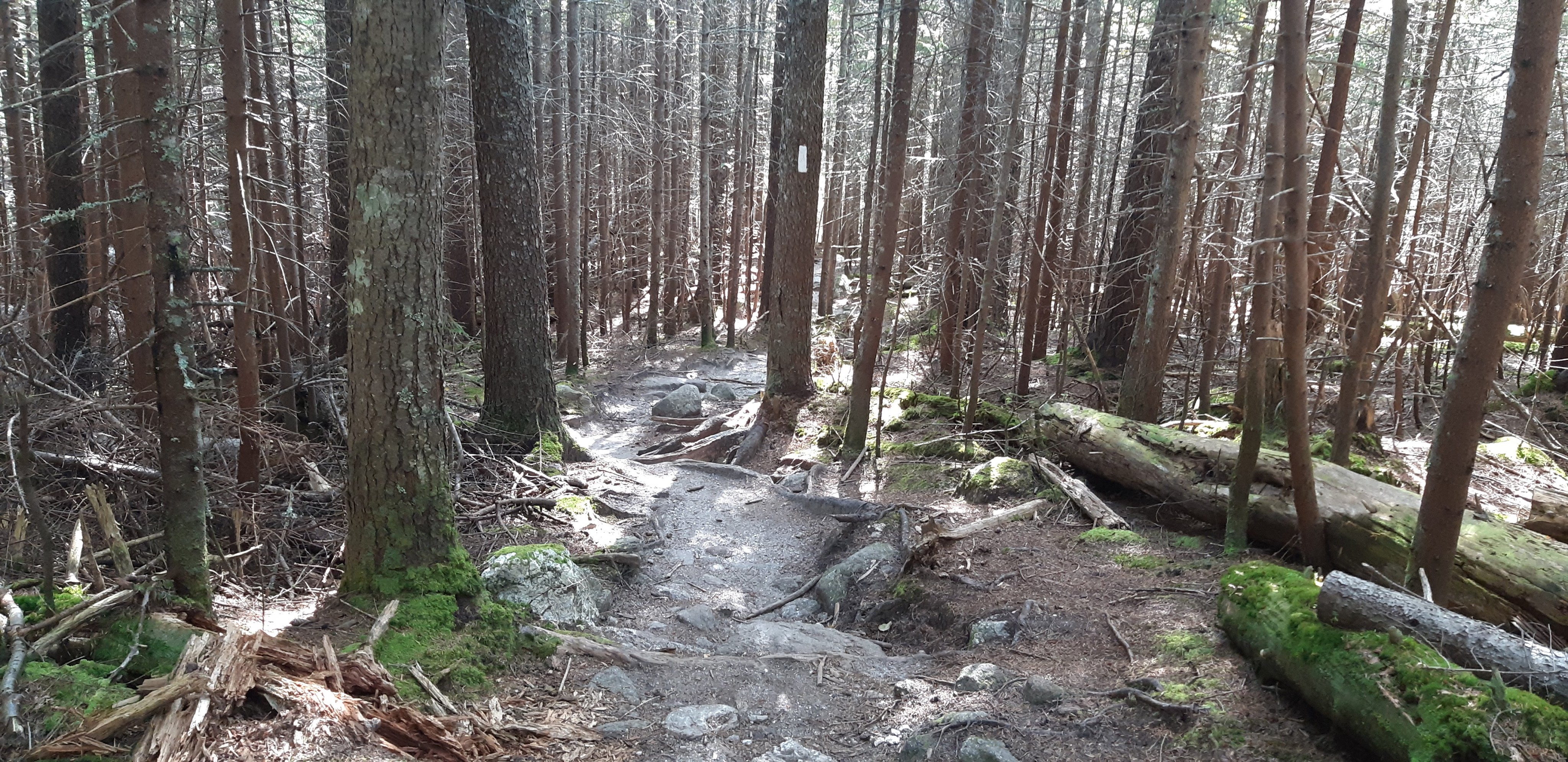
The whole day was a pleasant hike, and not as steep and technical as the first 7 miles of Maine. I set up camp at a small water fall where I also had phone service (It is rare to find phone service in Maine that is not on top of a mountain and also at a place that I can camp)! Even though I spent my birtoday completely alone, I actually had a nice day.
Day 166 Dunn Notch and Falls to South Arm Road (to Andover, ME) (Mile 1945.2)
Since I had phone service I woke up and called a hostel to reserve a spot for the night in Andover. I only had 11 miles to go before getting to the road.

At the top of Moody Mountain I called the hostel and requested a shuttle to pick me up. I stayed the night in town and ate a bunch of food and resupplied for the next few days.
Day 167 South Arm Road to stealth camp (Mile 1958.8)

I enjoyed some more yummy town food before hitting the trail again. I also packed out a pancake to enjoy for lunch later! (Why haven’t I tried that before?)
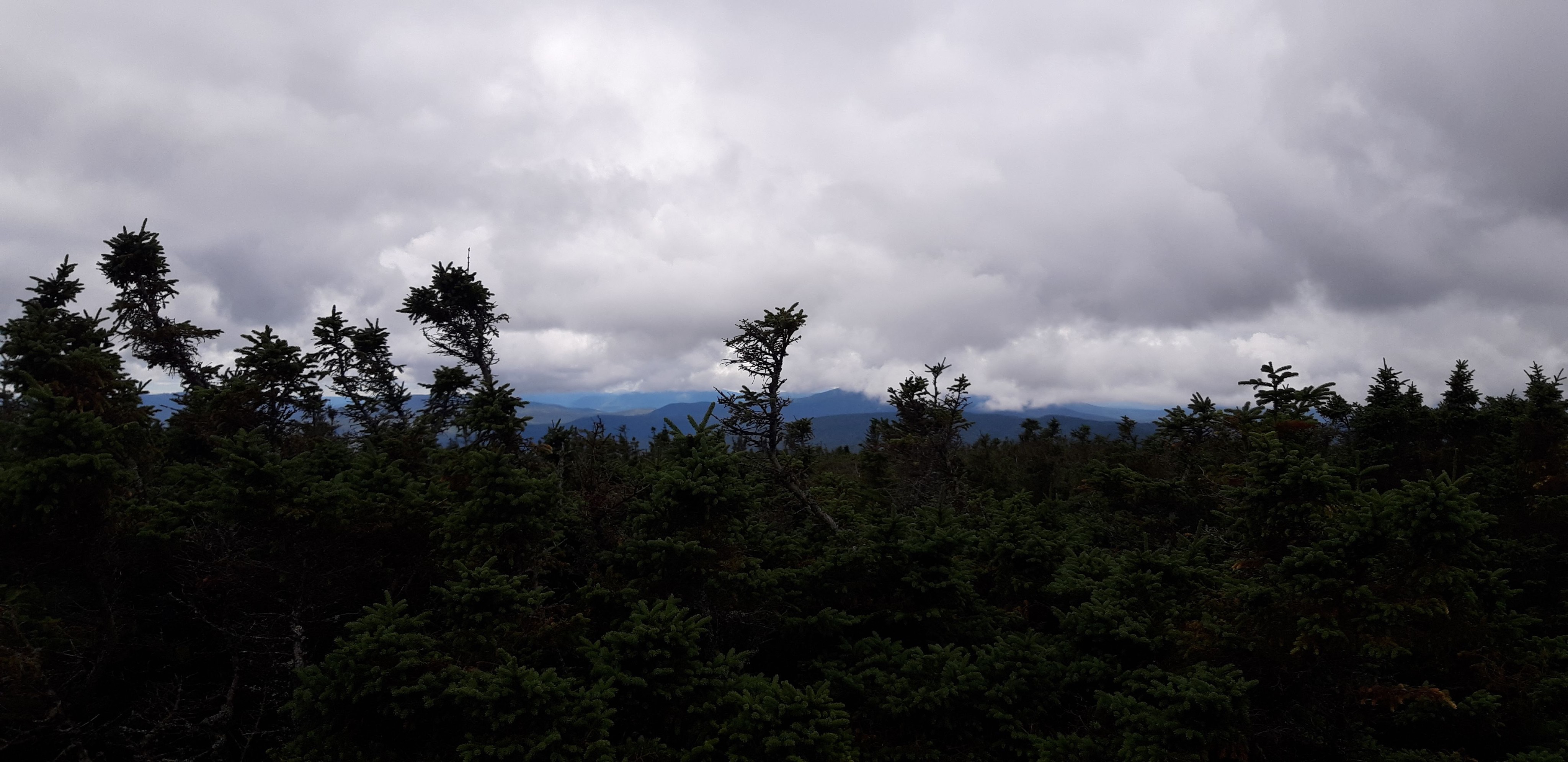
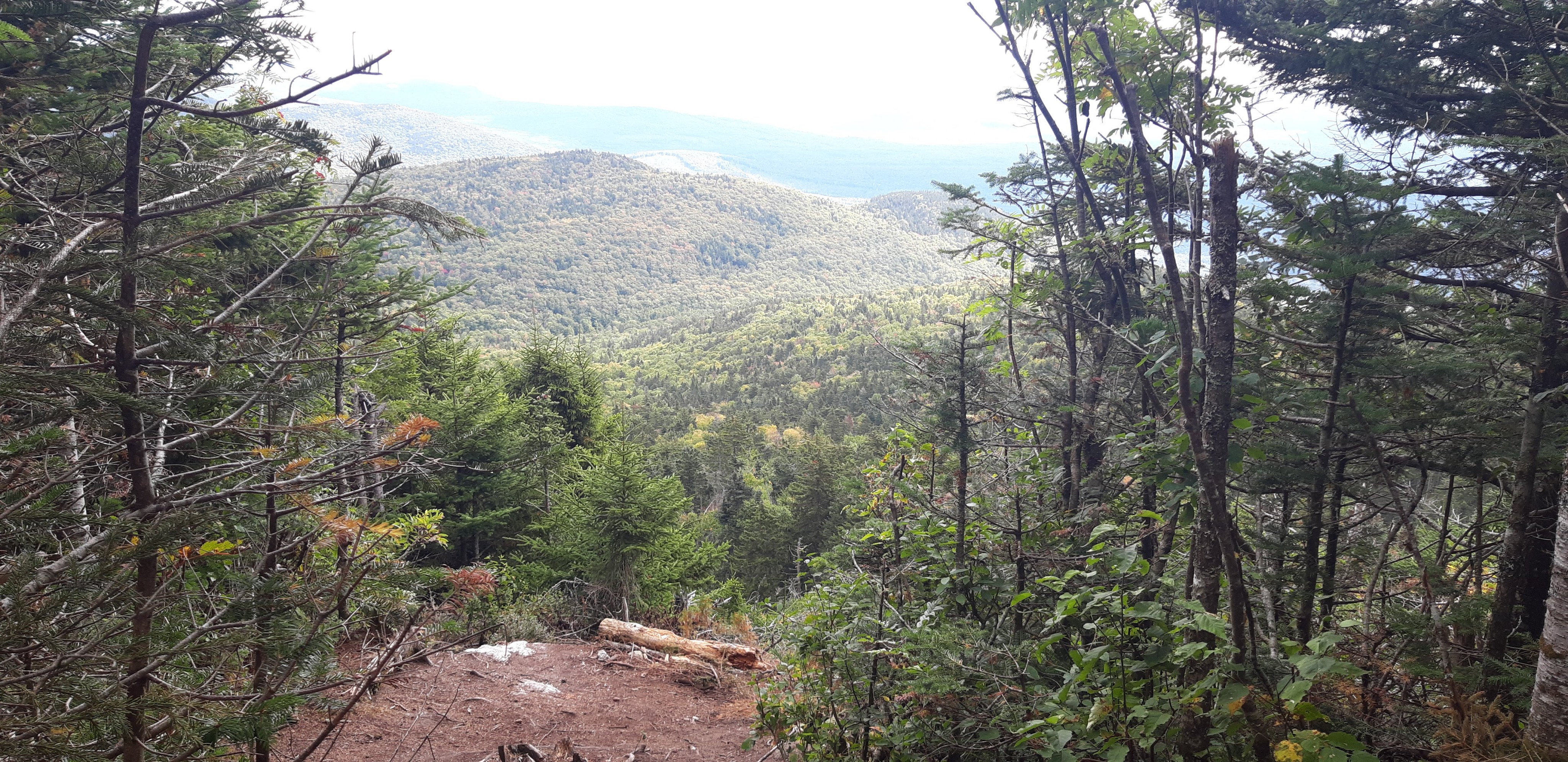
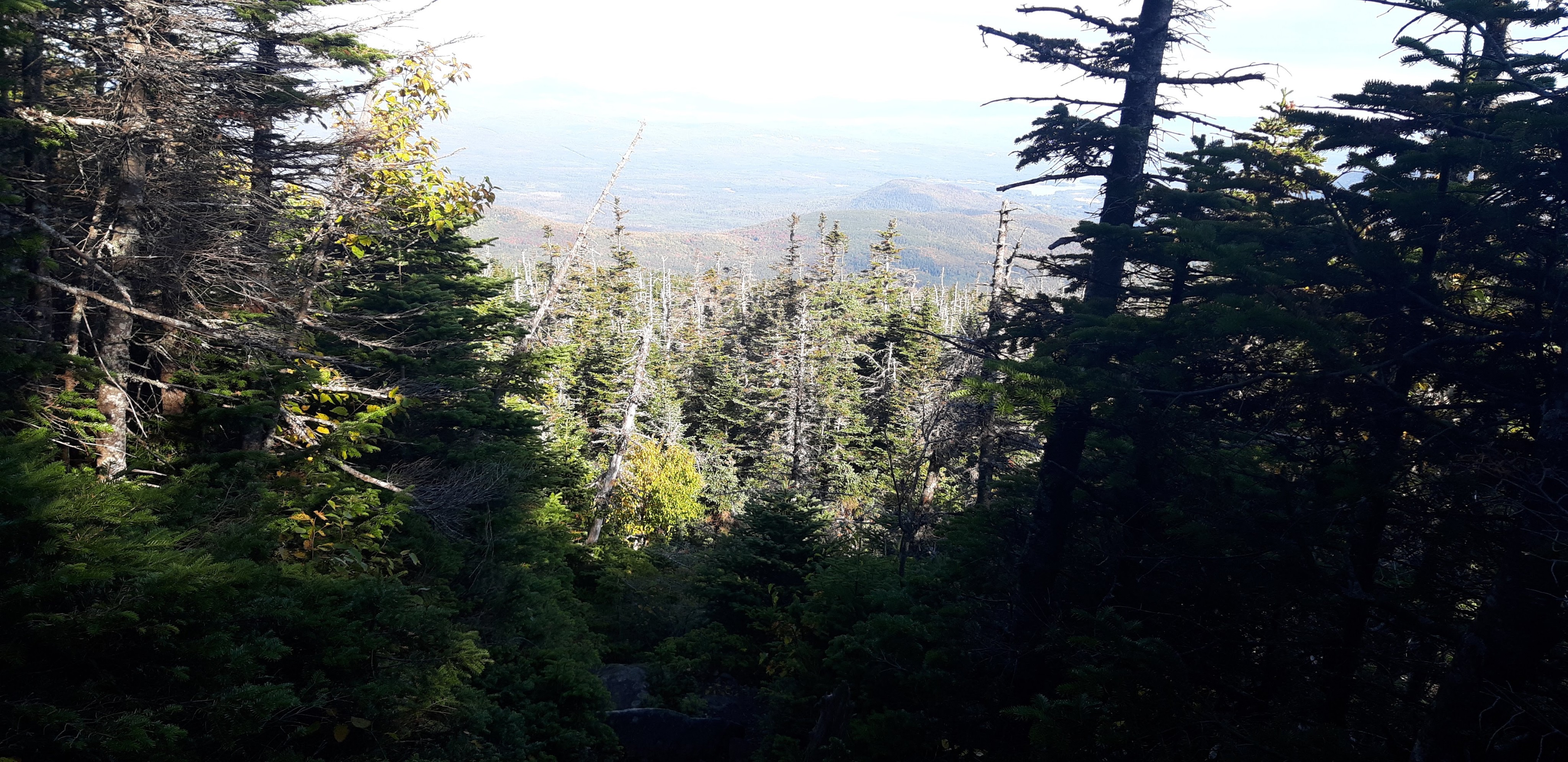
First thing from the road was a steep climb and view from Old Blue.

Also a view from Bemis Mountain

This view was from a road that happened to have a bench and a great view. I found a stealth spot to camp less than half a mile north of here.
Day 168 stealth camp to Redington Stream Campsite (Mile 1979.7)


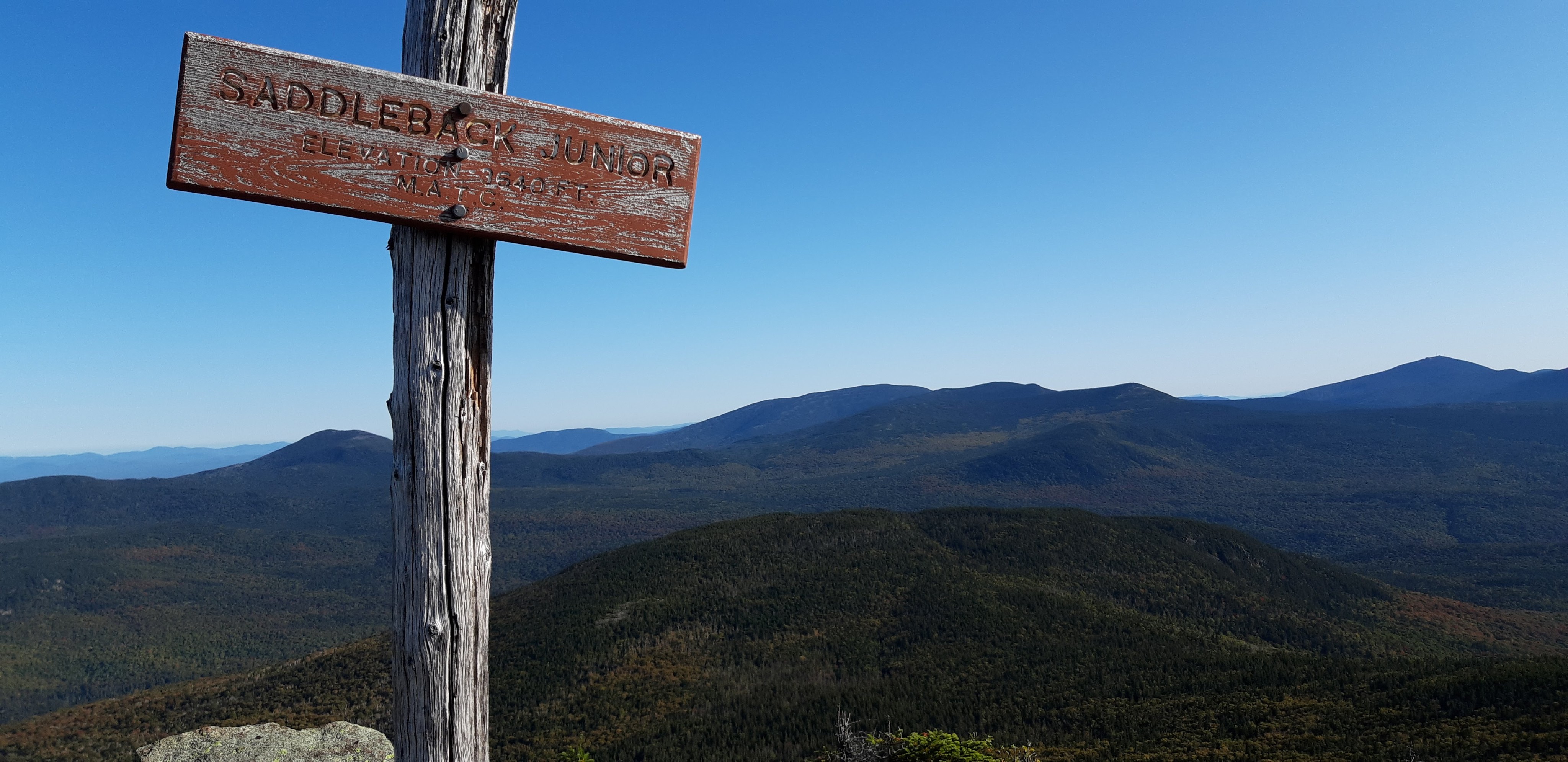
Today included a climb up Saddleback Mountain which didn’t seem as steep as many of the previous mountains so far.

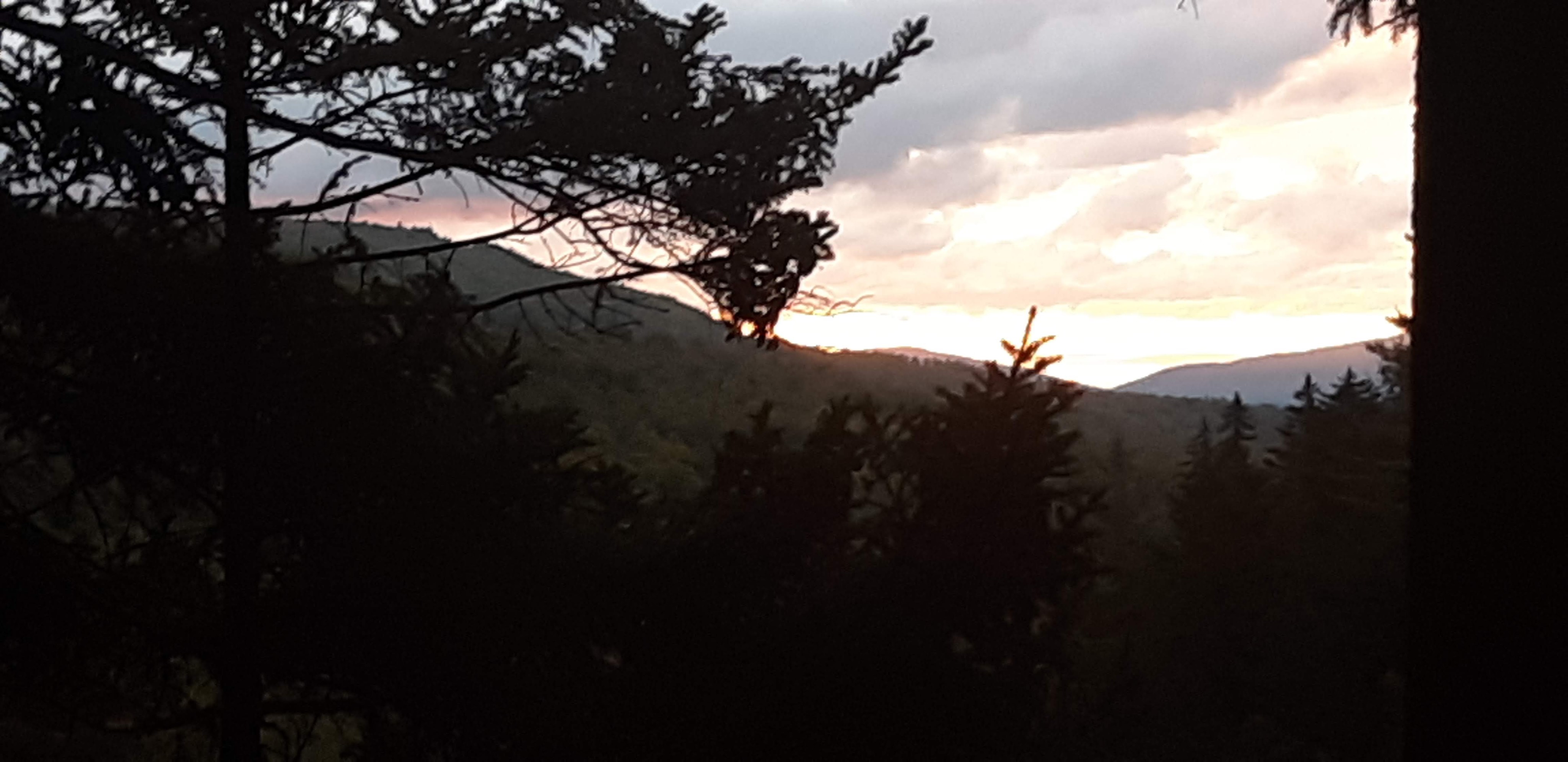
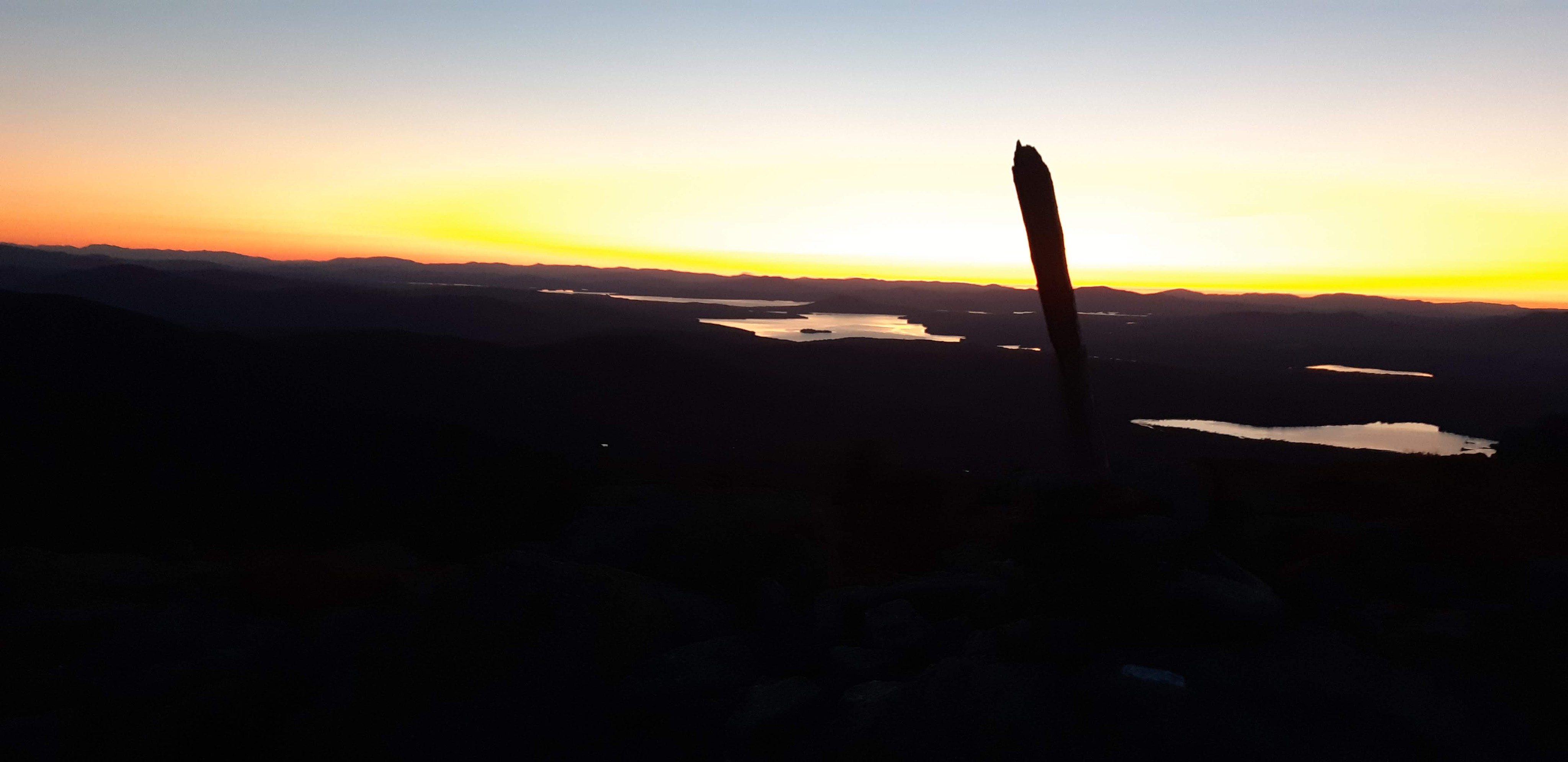
I also climbed The Horn, and ended up at the top at sunset. While the views were incredible, I’ll admit that the 1 mile down the mountain in the dark to the tent site was stressful. It turned out to be very steep and rocky. But I made it and got some great sunset pictures as a result of my slowness in getting to camp.

Day 169 Redington Stream Campsite to Carrabassett River (Mile 1995.4)


Day 170 Carrabassett River to Horns Pond Lean-tos (Mile 2008.9)

Today I went into Stratton to resupply and get lunch. I went to a bar/restaurant for lunch and ordered a bacon cheeseburger and fries and a beer for lunch. When I was done eating I asked the bartender for the menu again so I could order something else… I ended up getting a cheesesteak and sweet potato fries and another beer. The bartender was really entertained by the fact that I ordered two entrees. When I got the check she told me that the lady at the bar paid for my cheesesteak and I also got a “hiker” discount on my bill because she said they liked my style of ordering 2 entrees! After lunch I resupplied at a grocery store nearby and hit the trail for a few more miles to end the day.

Day 171 Horns Pond Lean-tos to West Carry Pond Lean-to (Mile 2026.8)


The trail is starting to get easier physically, but at the same time I feel like each day kinda feels the same as the day before. It is becoming more of a mental challenge, as I am starting to accept the fact that I might not catch up to any of my friends before the end, which makes me sad because we didn’t get a chance to say good-bye. At this point I just really want to get to the end and finish the trail.

Day 172 West Carry Pond Lean-to to stealth camp (Mile 2049.9)

The first half of the day was an easy hike to the Kennebec River. There is a guy here who will ferry hikers across for free since it is too large to ford.
The second half of the day ended up being my biggest mental challenge of the entire trail, as well as my lowest point. As the trail got easier/flatter I picked up speed and started making great time. As I was walking I tripped on a stick and fell. On my way down I could see a large rock right where my face was about to be, and luckily I put my arm out and avoided busting my face on the rock. I landed to the side of the rock and laid on the ground for a few seconds thinking about how lucky I was that my face didn’t hit the rock, and how bad it could have been. As I stood up, however I began to notice that my right knee was twisted, and I couldn’t move it normally. I began to think about my options… Can I continue hiking forward? Do I need to go back to the road I passed about a mile ago? I have 150 miles left until the end; am I too injured to continue?
I hadn’t seen anyone all day, so I decided to let my frustration out on the rock I almost busted my face on. I hit it as hard as I could with my trekking pole (and broke it a little). Finally, I decided to hike on even though I was limping. I stopped on the side of the trail to find some ibuprofen. Some hikers passed by and said hi and asked me how it was going. I wasn’t able to hide the fact that I had been crying. I told them about my fall, but also that I was fine. They gave me a hug and made me feel better.
Probably about an hour later, the ibuprofen must have kicked in and my leg actually started feeling a lot better and I was able to move it normally. I was relieved and a little embarrassed about my little meltdown.


I admire your courage. Keep it up – you’re nearly there. I love your beautiful photos and the wonderful descriptions of your adventures. Good Luck.
LikeLiked by 1 person