AT 2019 Blog

AT Days 173 – 179 (Maine part 2)

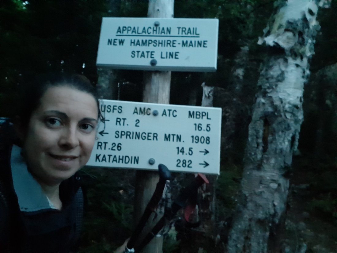
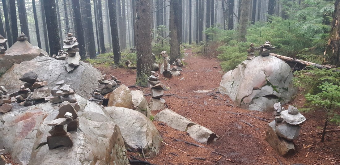
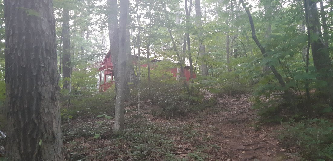
Day 173 stealth camp to another stealth camp (Mile 2071.4)

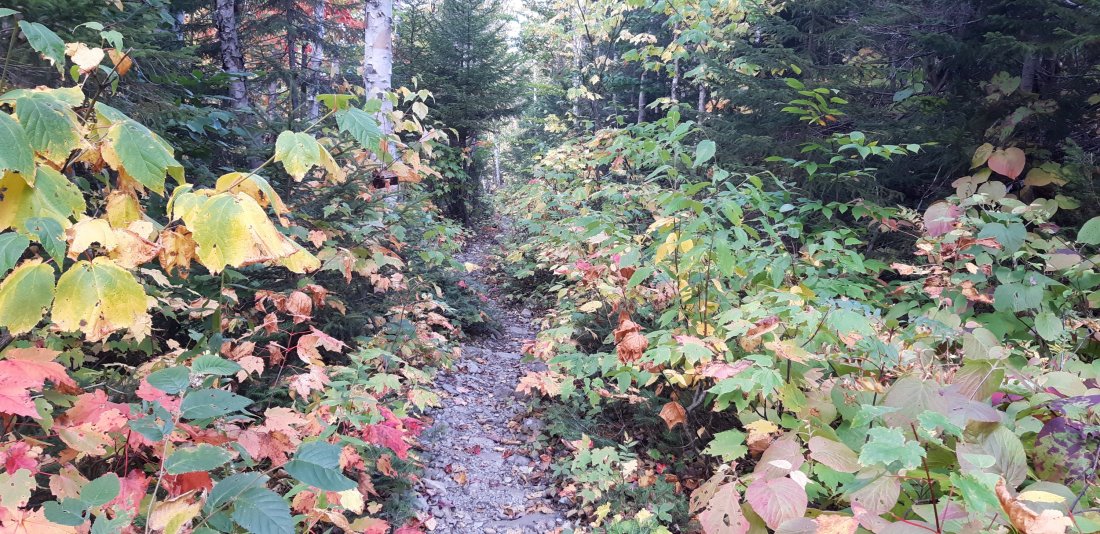
I am getting closer to Monson, ME, the last town before the 100-mile Wilderness. I am about 27 miles away, so my plan is just to get as close as possible and get into town tomorrow morning.

I made it about 21 miles before stealth camping for the night.

Day 174 stealth camp to Bodfish Farm Tote Rd (Mile 2091.8)

I woke up early and hiked 6 miles to ME Route 15 where I got a ride to a hostel in Monson where I reserved a room for the night. I planned on taking the rest of the day off before tackling the 100 mile wilderness. I want to summit Katahdin on 9/30, and the next 3 days after that are supposed to be cold and rainy.

When I got into town around 9am, I stopped at a store and got some breakfast. A friend of mine was there and mentioned she was about to slack-pack the first 14 miles of the 100-mile Wilderness and asked if I wanted to go with her. I really wanted to rest and take the day off, but I was also stressed about getting to Katahdin before the bad weather days, so I agreed to go.

She had arranged for a shuttle to drop us off 14 miles north, and we would take small daypacks and leave our full packs in Monson. We would hike southbound back to the road I arrived at earlier in the morning.

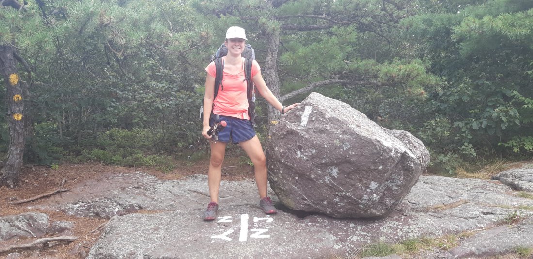
On the first part of our hike, we passed by 2 of my friends, Lights and Spiderman who I hadn’t seen in weeks. They were hiking northbound and we passed them southbound. They said they were planning on finishing 9/29, I told them I was trying to finish 9/30. I walked away thinking I’d probably not see them again since they were a full day ahead of me and it would take some big miles to catch them in the small number of remaining days.

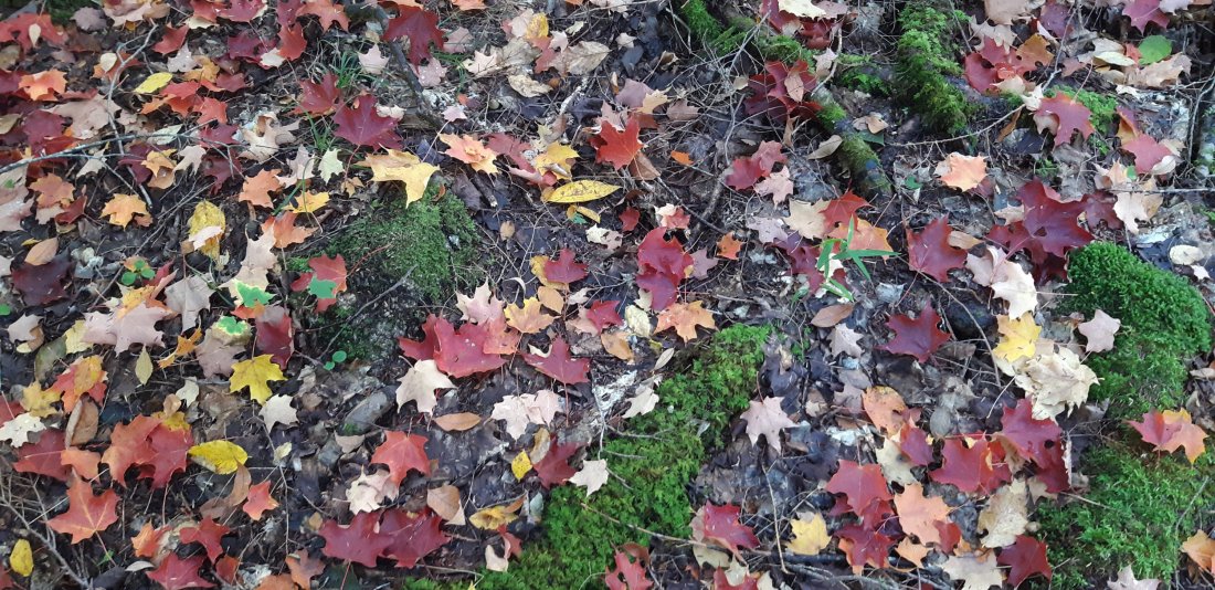
As we kept hiking we saw 2 beavers! It was hard to get a good picture but 1 is pictured above (bottom left of the pile of sticks.)

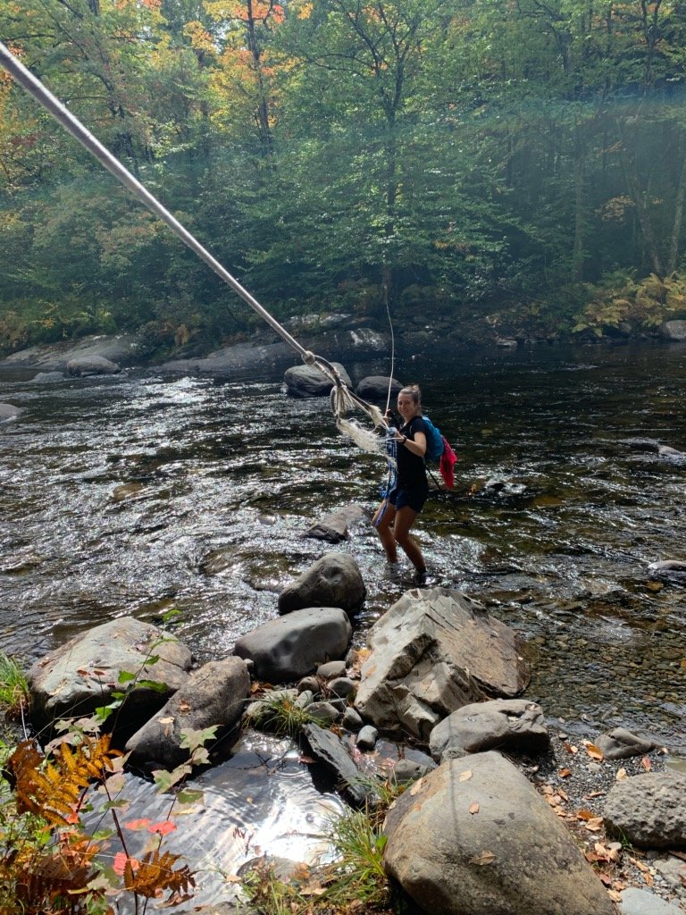
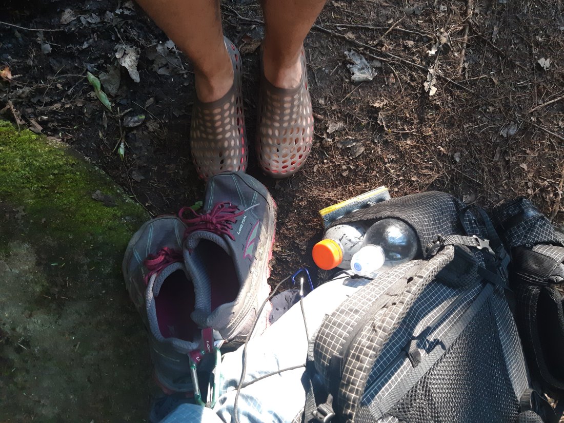
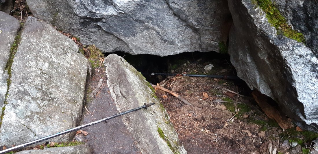
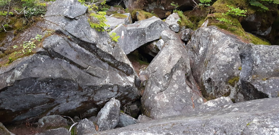
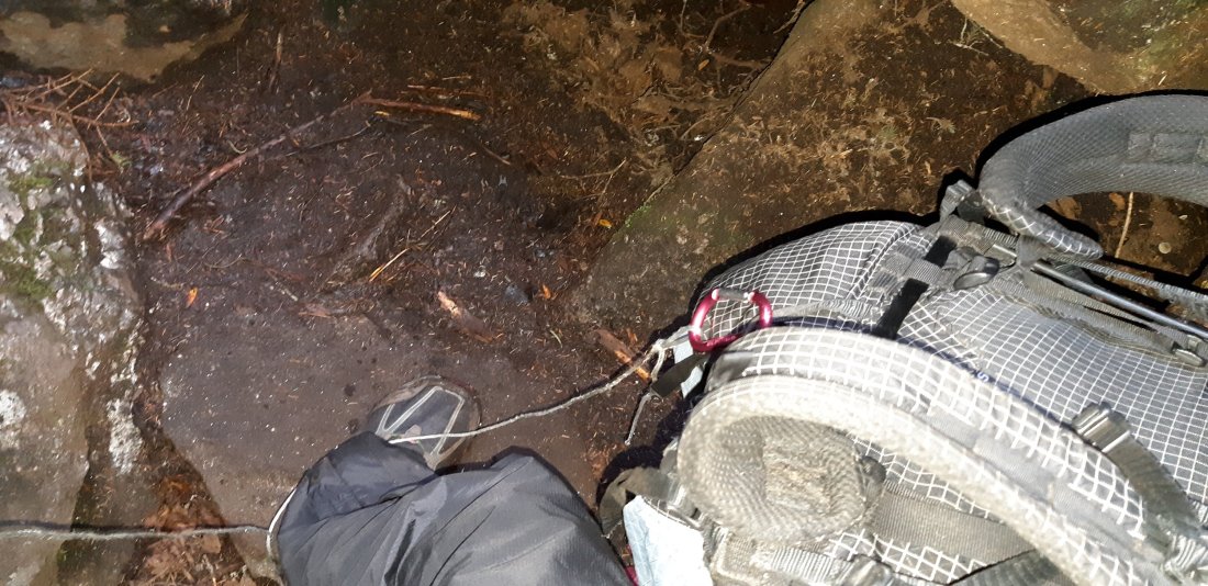
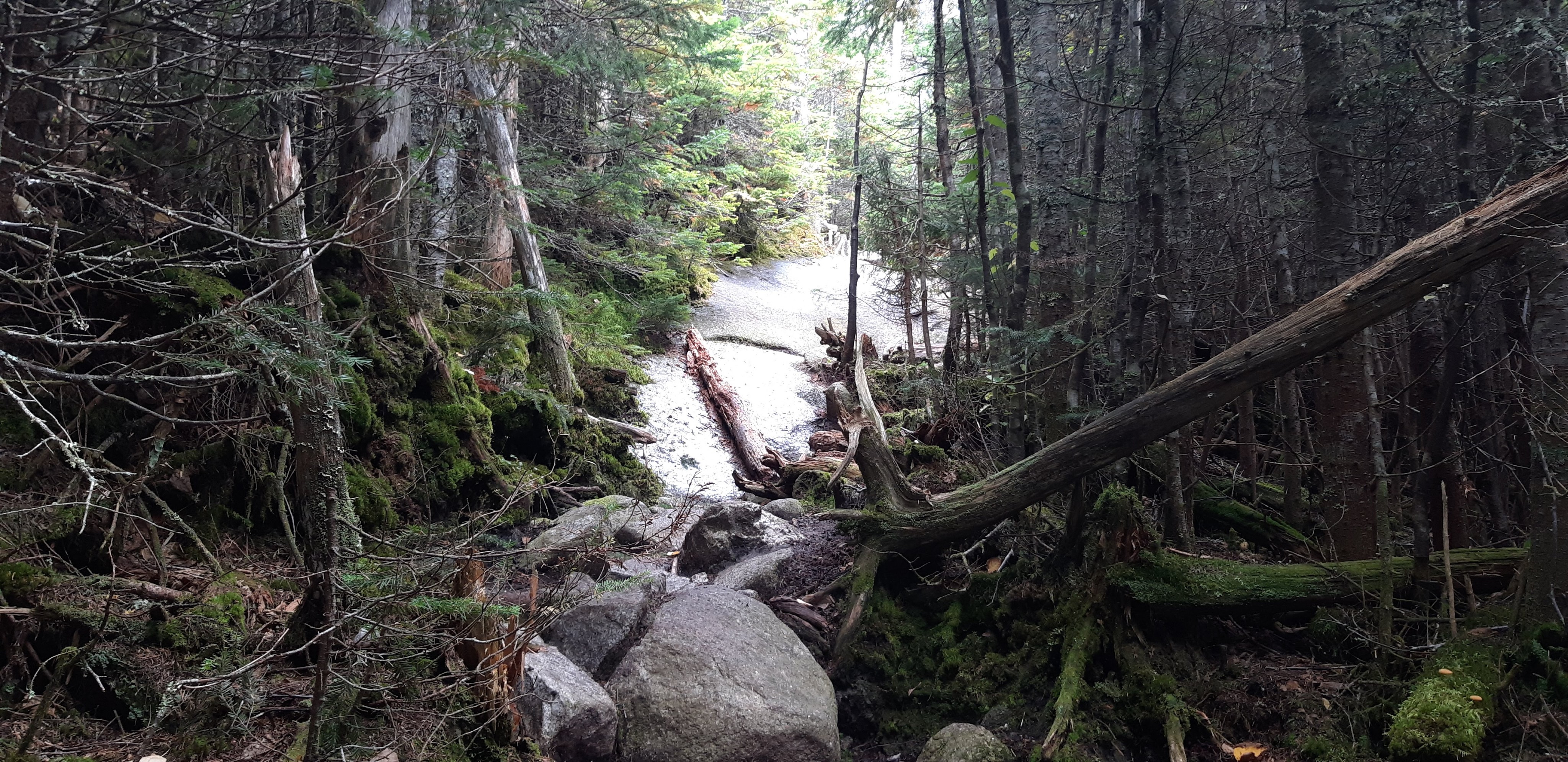
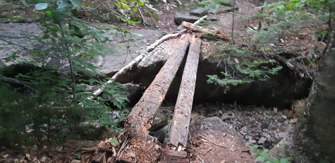
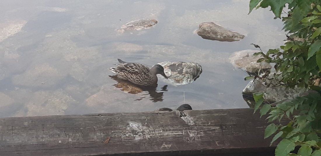
We had to ford a river where a loose rope was provided to help with balance. This part was kinda fun. It was definitely easier with the small daypack. I’m glad the weather wasn’t cold when I crossed this river.

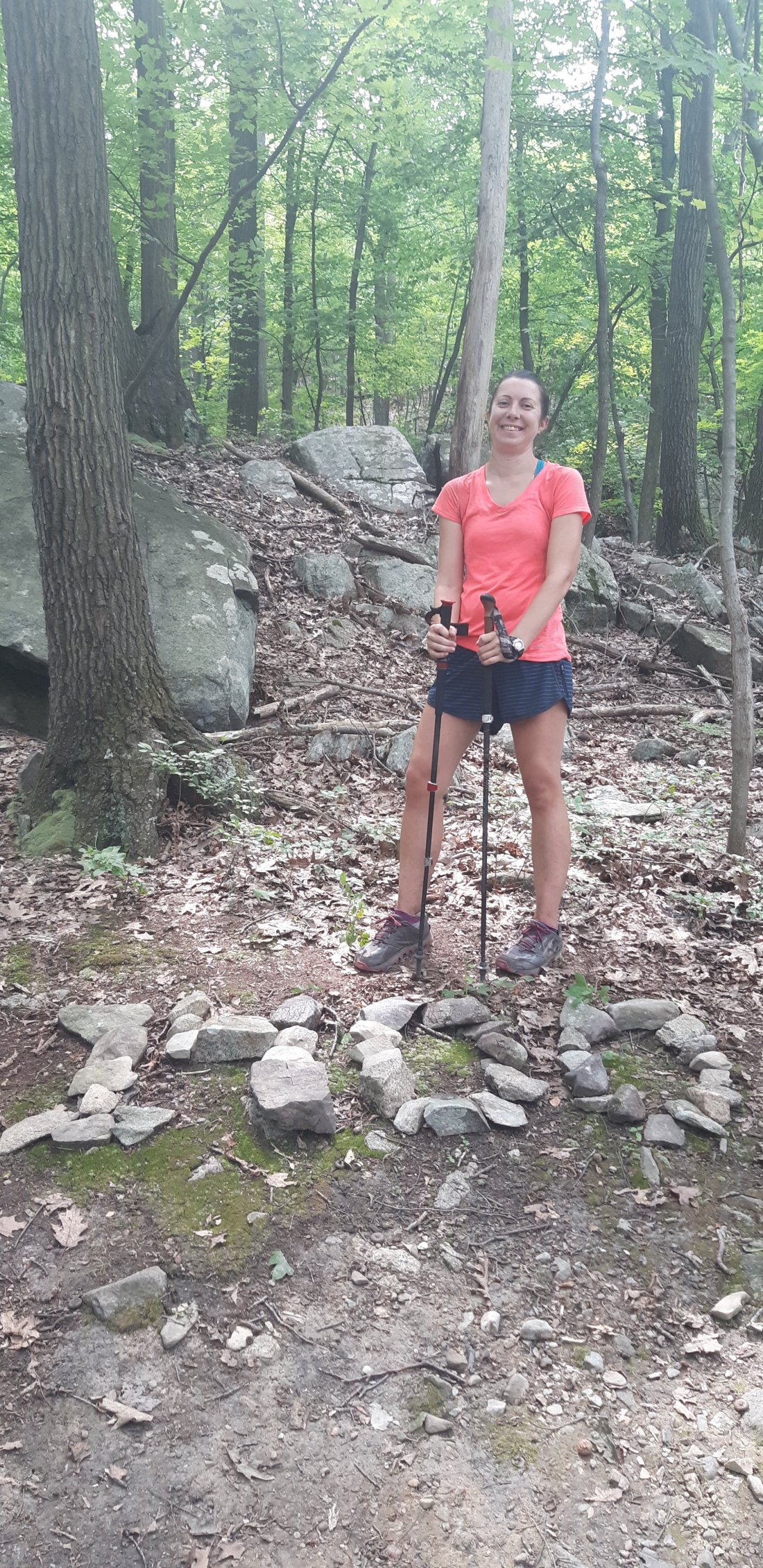
At the end of the day we got a ride back into Monson and stayed in town for the night. Instead of doing a small mileage rest day I ended up doing a total of 20 miles altogether. I felt good though about getting 14 miles ahead of where I planned to be.

Day 175 Bodfish Farm Tote Rd to Katahdin Ironworks Rd (Mile 2107.4)

The next day, we shuttled back to the road we slack-packed from the day before and started hiking northbound with our usual full packs.

I ended up falling behind everyone in my shuttle and really didn’t see anyone the whole day.

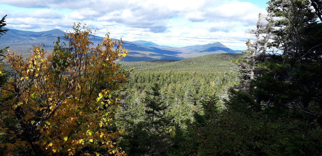
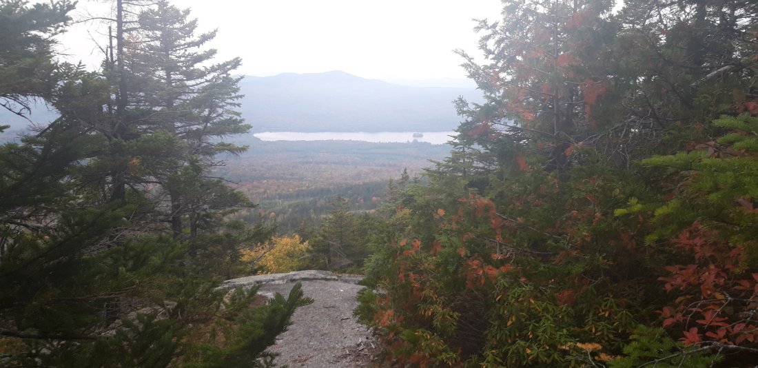
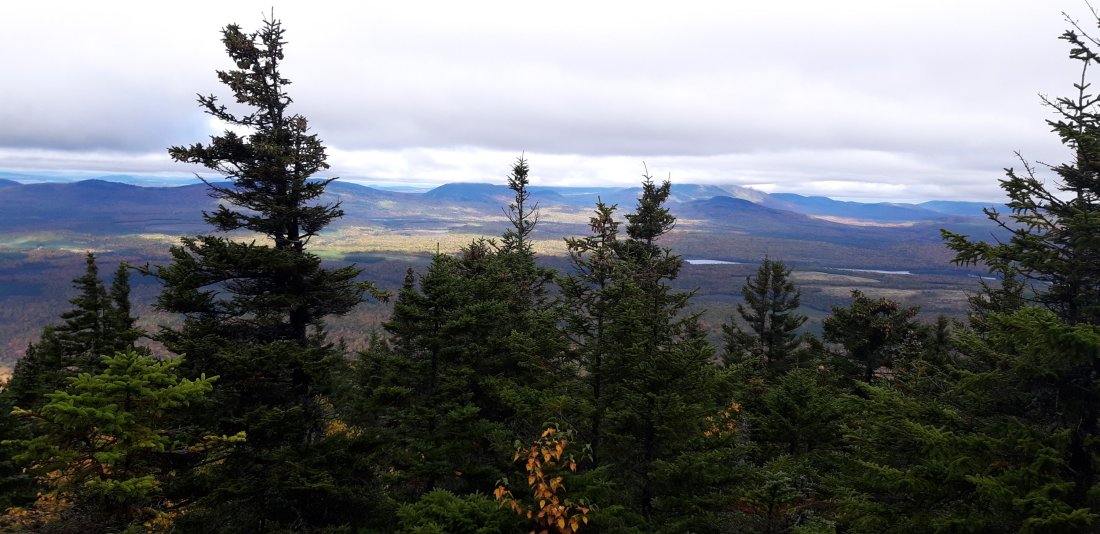
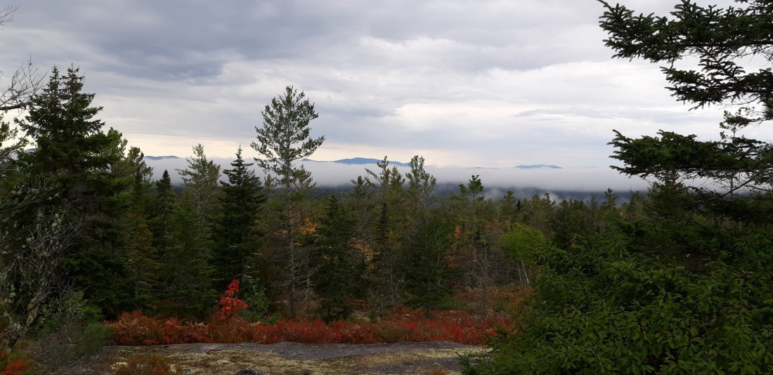
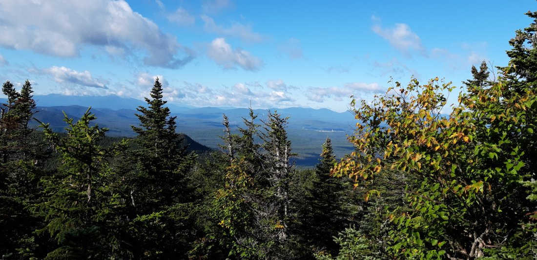
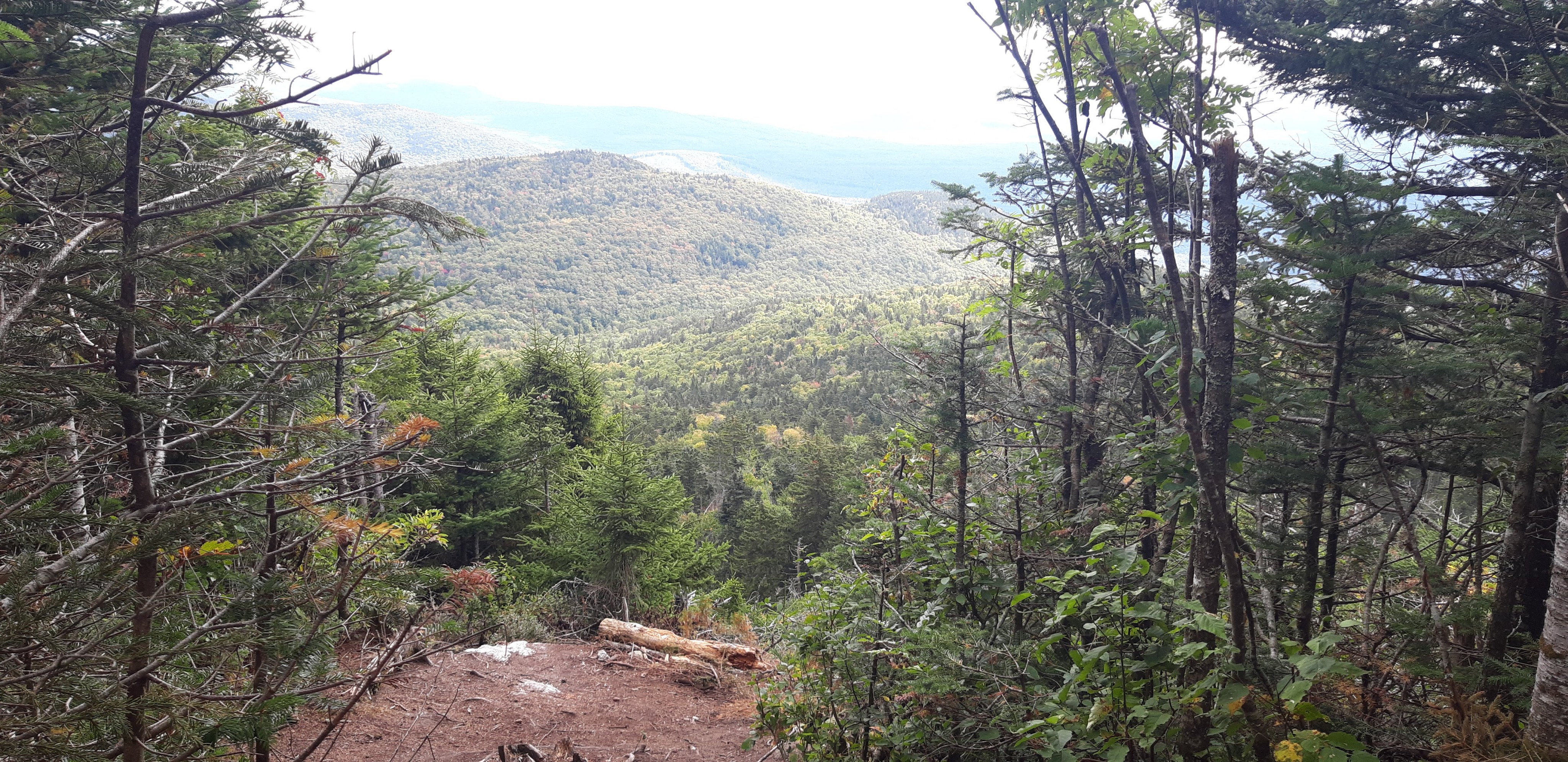
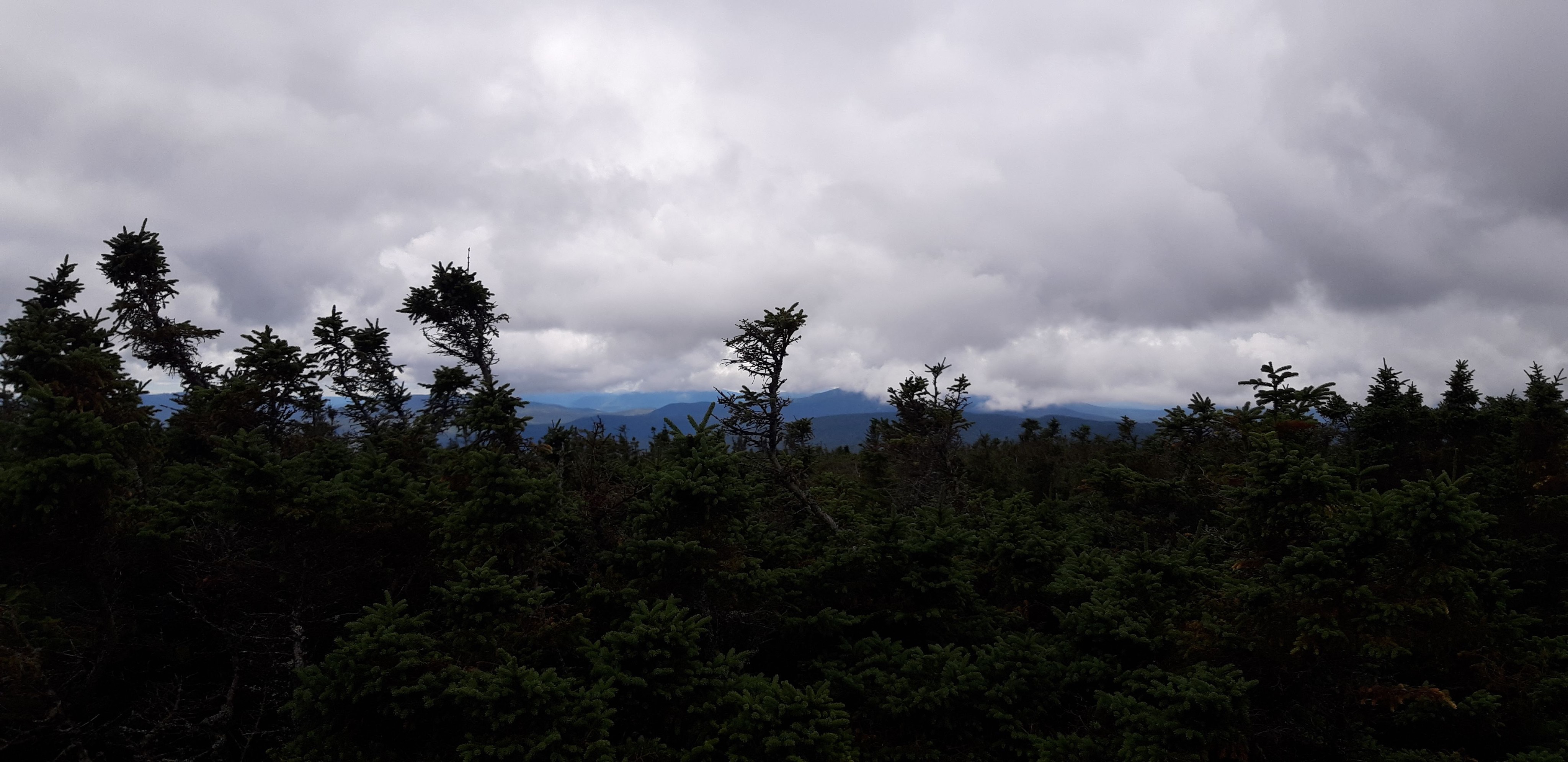
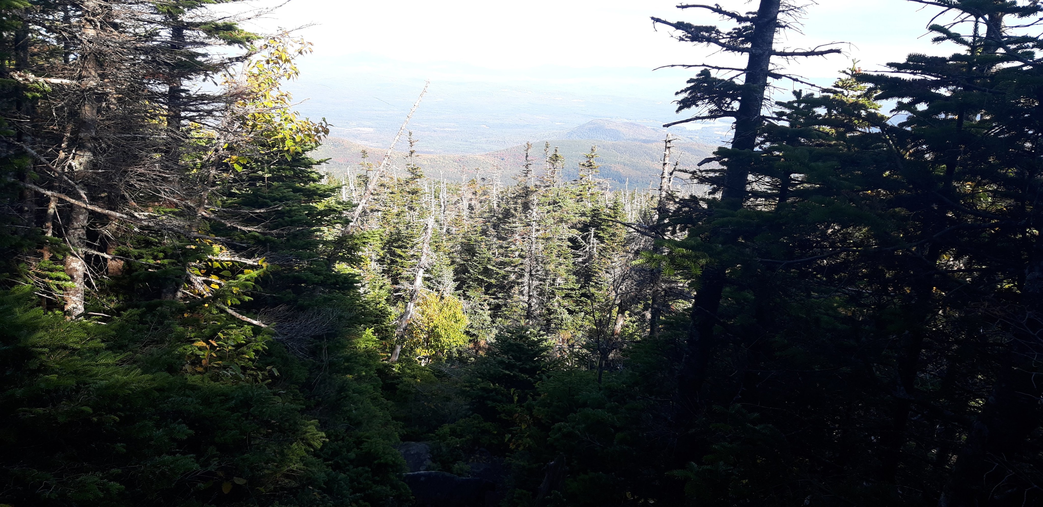
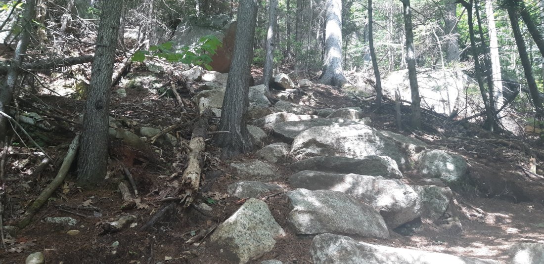
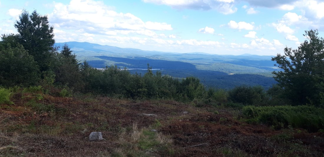
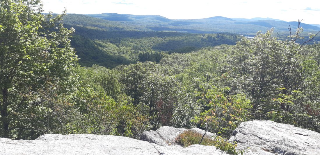
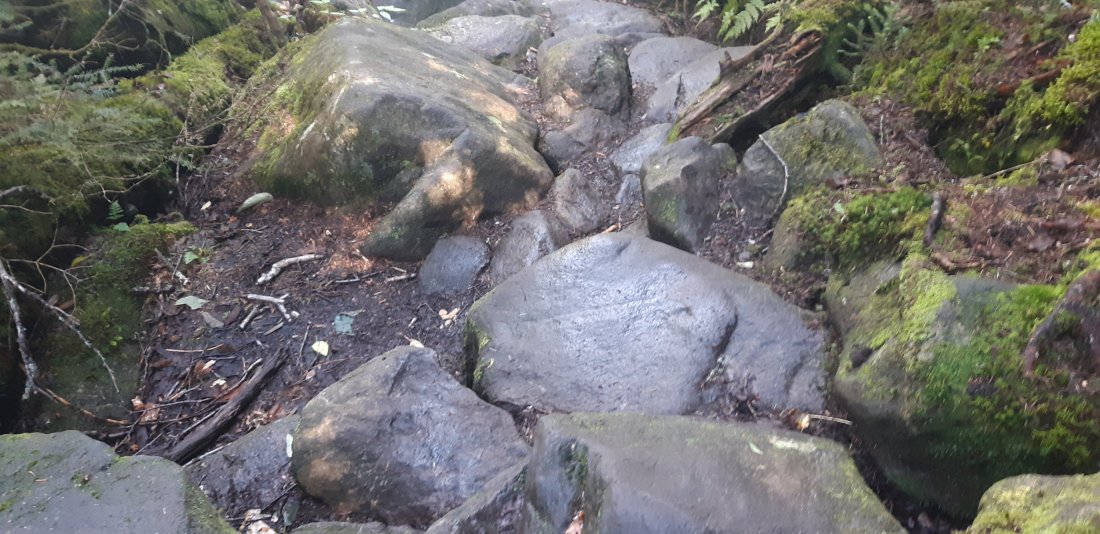
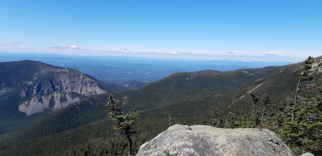
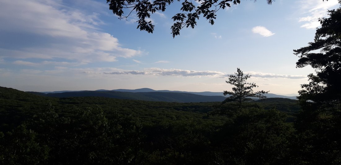
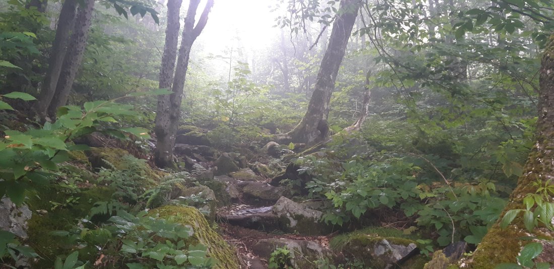
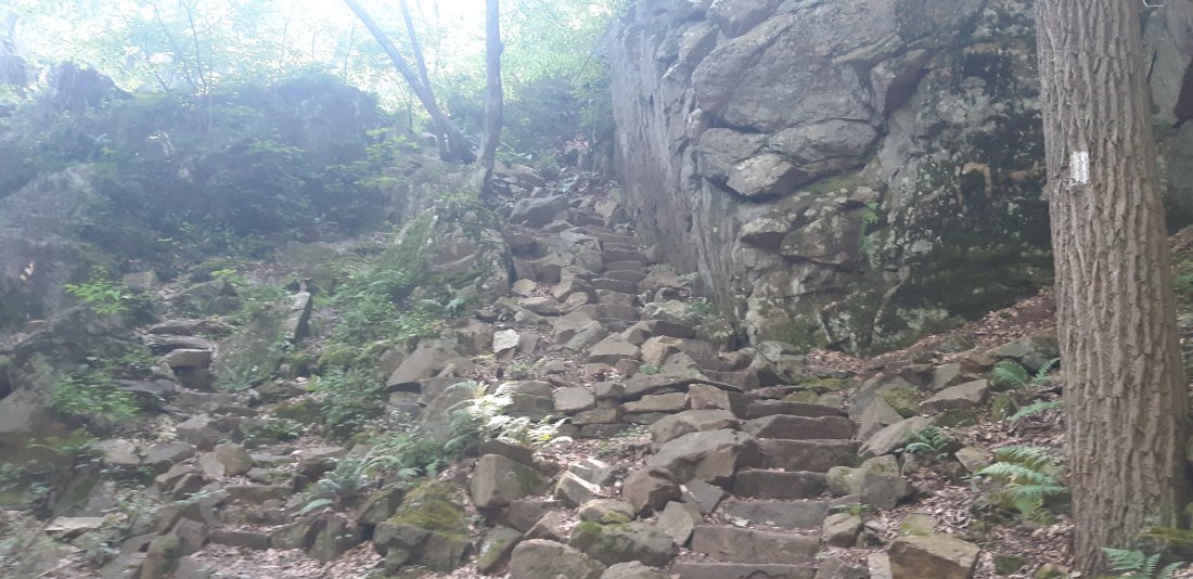
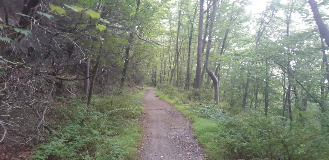
I covered about 15 miles today and caught some good views. Also trudged through some muddy trails. I ended up camping near a dirt road just after dark.

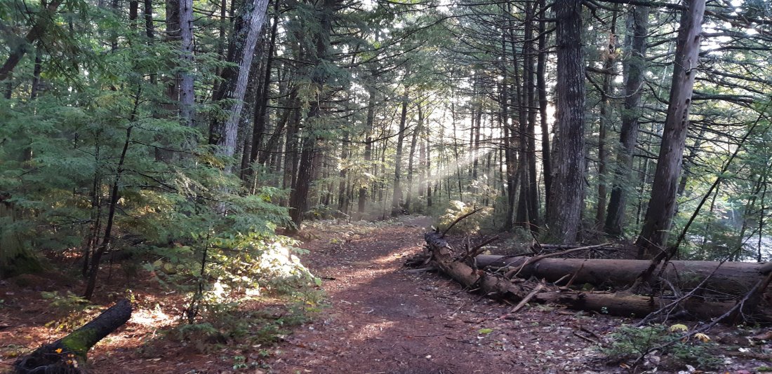
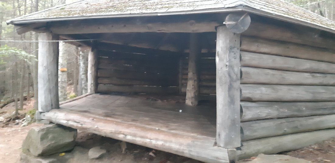
Day 176 Katahdin Ironworks Rd to Cooper Brook Falls Lean-to (Mile 2132.3)

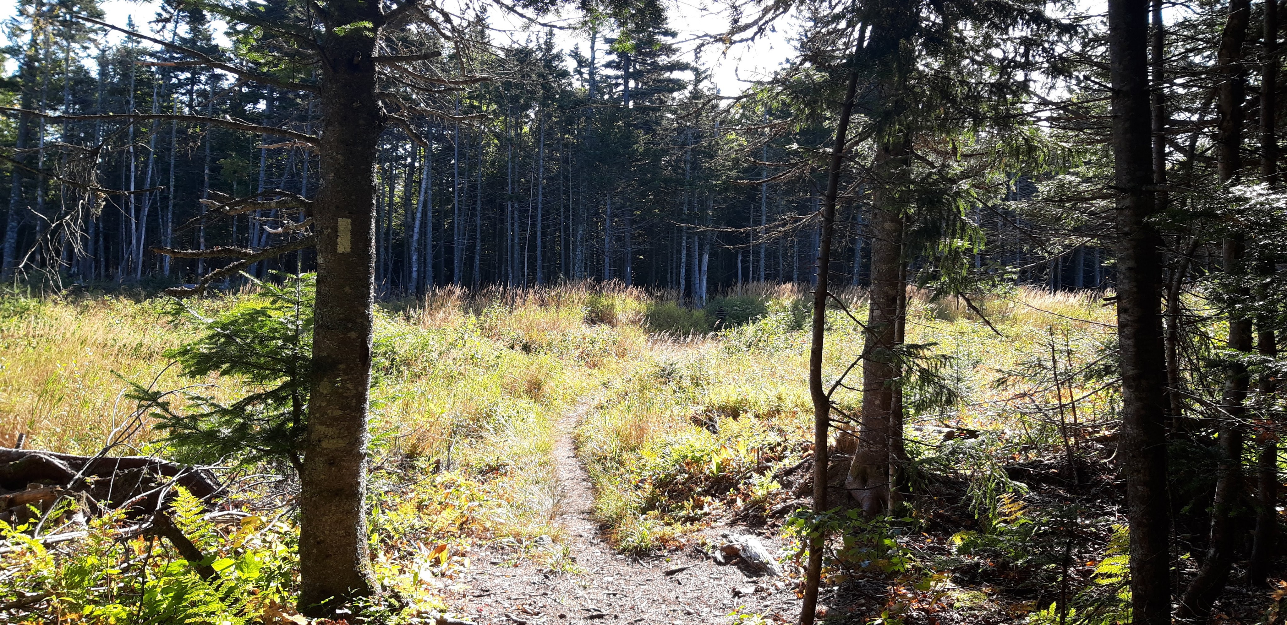
Not only did I get to camp after dark last night, but I also hiked out in the dark in the morning. Only 84 miles to Katahdin!

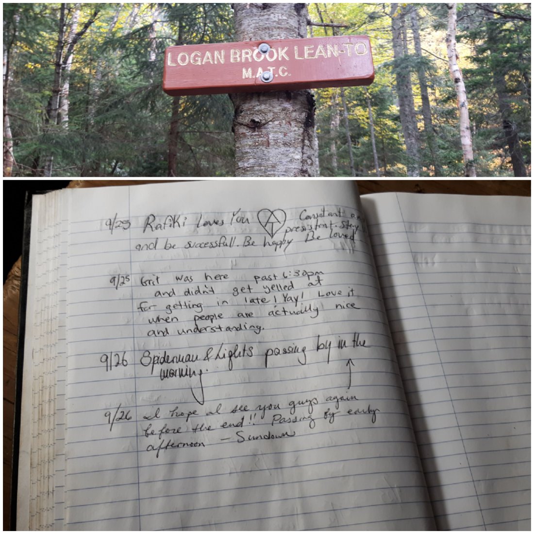
I stopped for a break at Logan Brook Lean-to and looked at the shelter log. I saw that my friends Lights and Spiderman wrote in the log indicating that they were here on the same day in the morning! It was about 2pm when I got there. It started to seem possible to catch up to them, but would still require big miles from here on out.

I ended up making about 25 miles today which is the biggest mileage day so far! (My previous record was 24 miles.)

Day 177 Cooper Brook Falls Lean-to to Rainbow Stream Lean-to (Mile 2161.9)

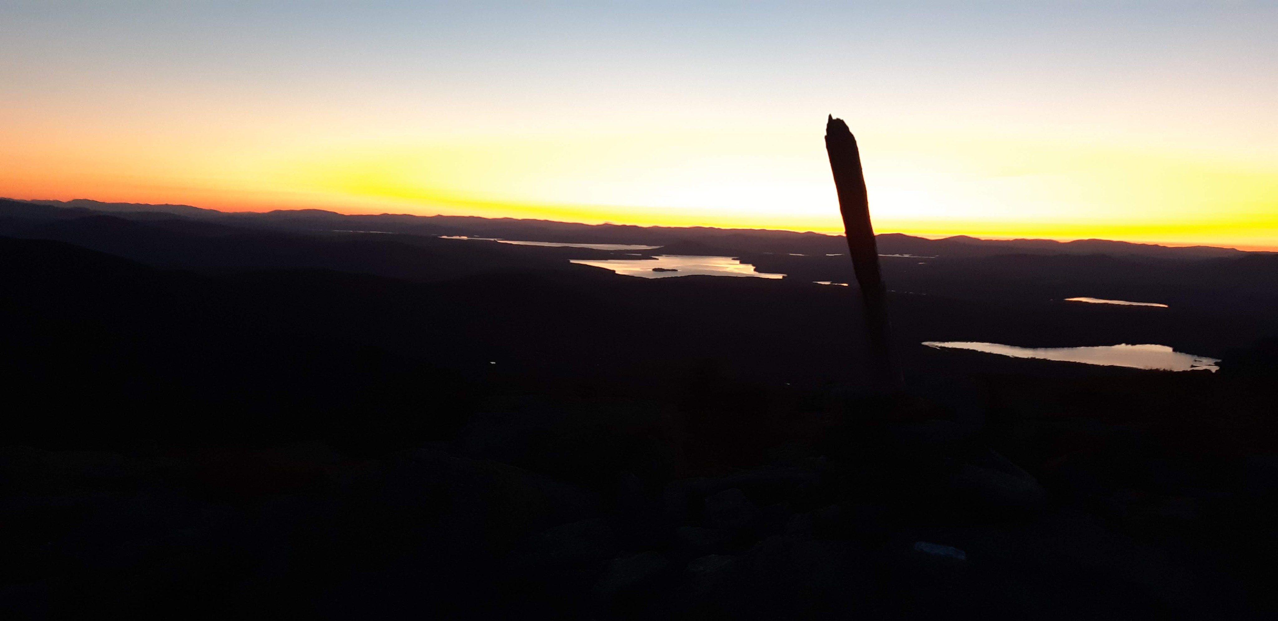
I got up early and hiked out in the dark. I achieved my 2nd “10 before 10” on the trail! (10 miles before 10am).

I started to slow down when I met a guy on the trail who hiked with me for a while. We chatted for about 2 hours which was a nice distraction. The trail was pretty flat and I was feeling good covering lots of miles earlier in the day than usual.

I decided to push to do 30 miles today.

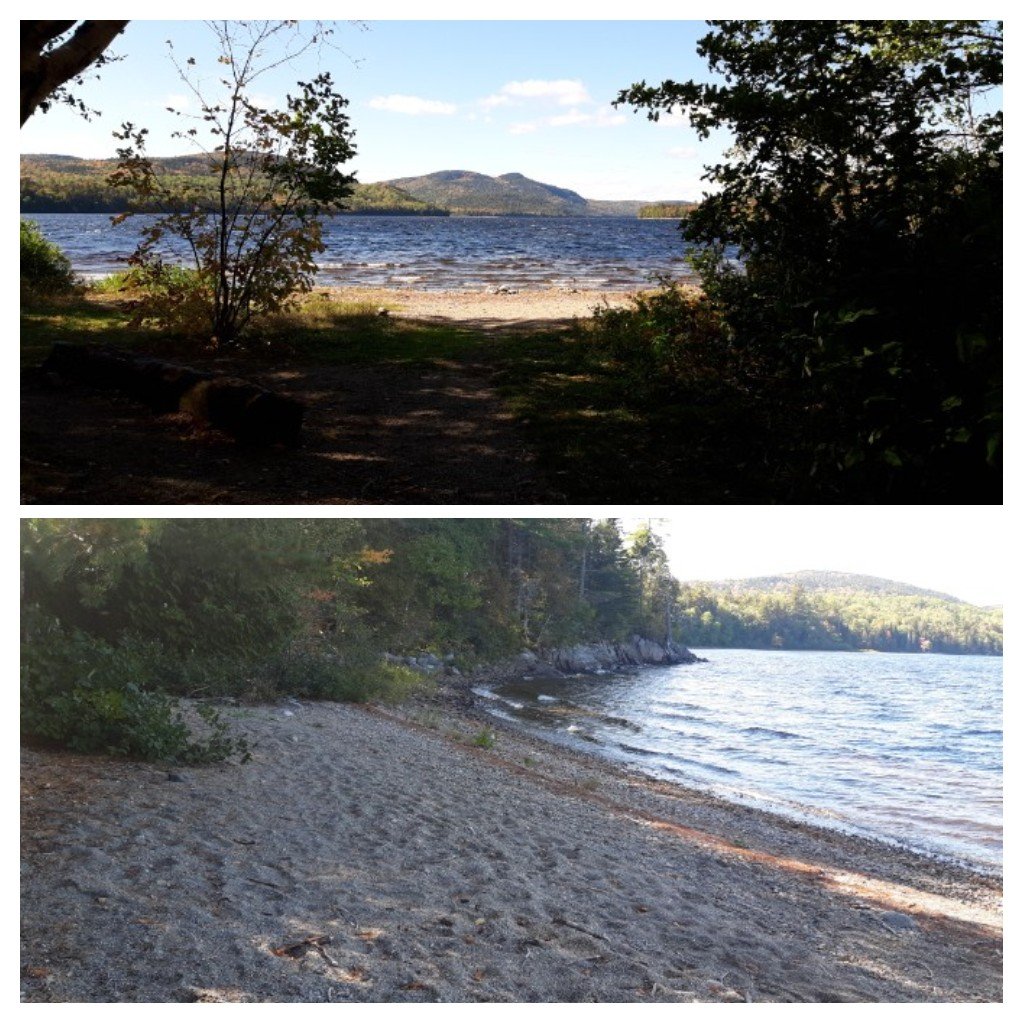
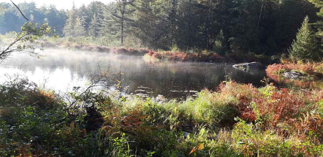
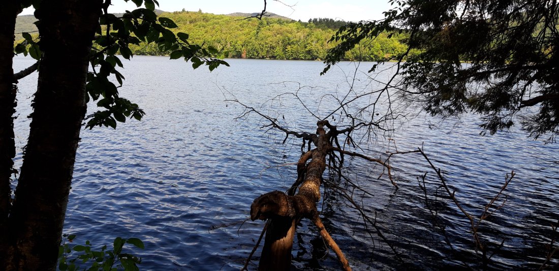
I passed by a pretty beach by a lake!
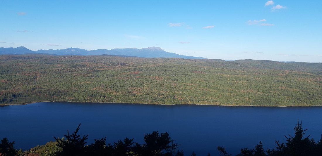
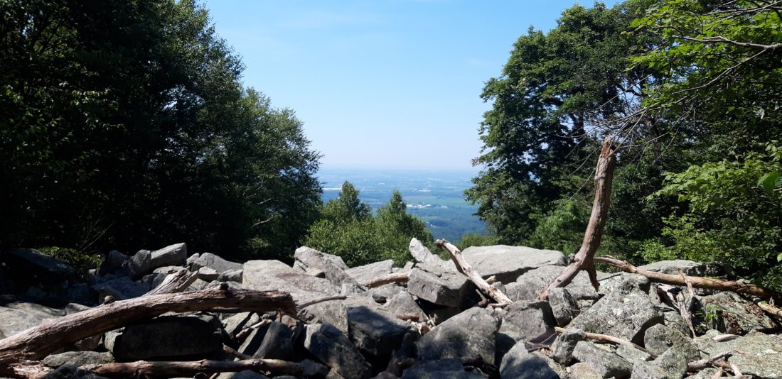
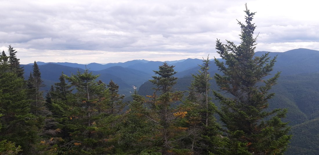
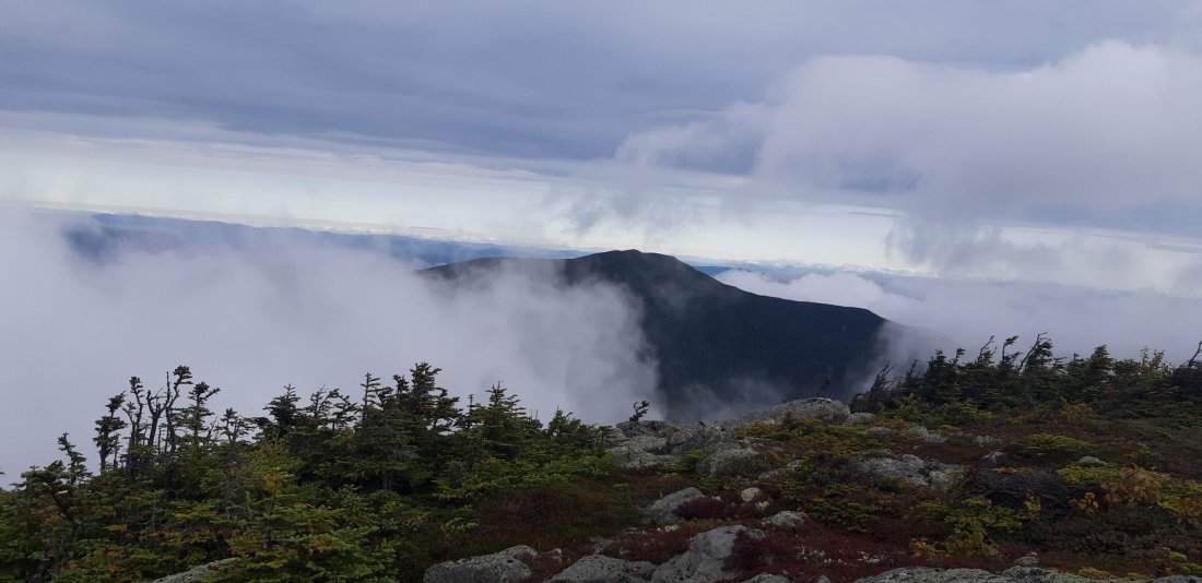
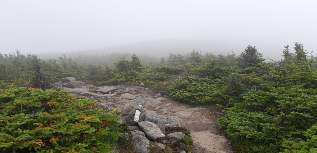
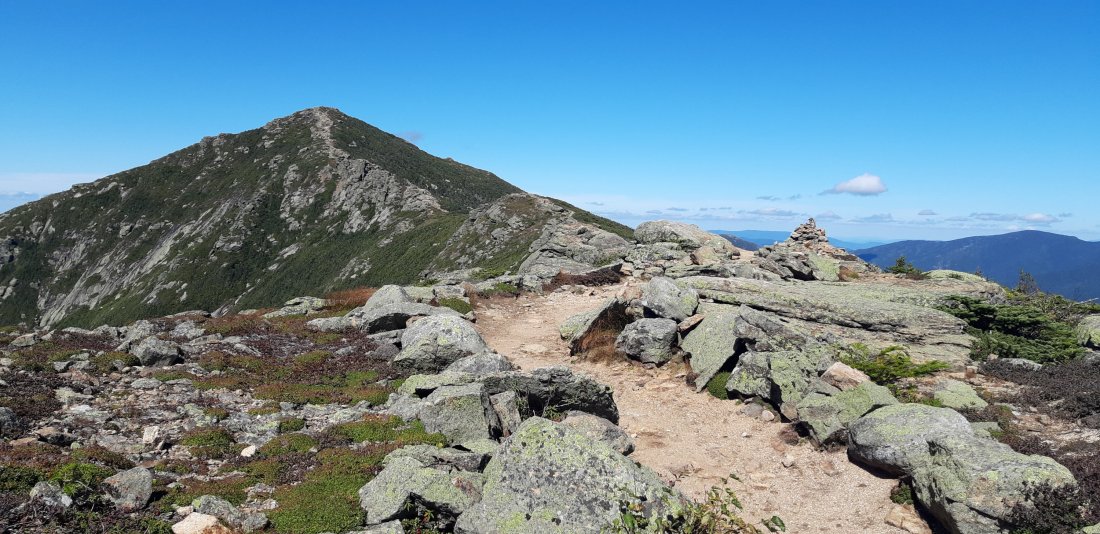
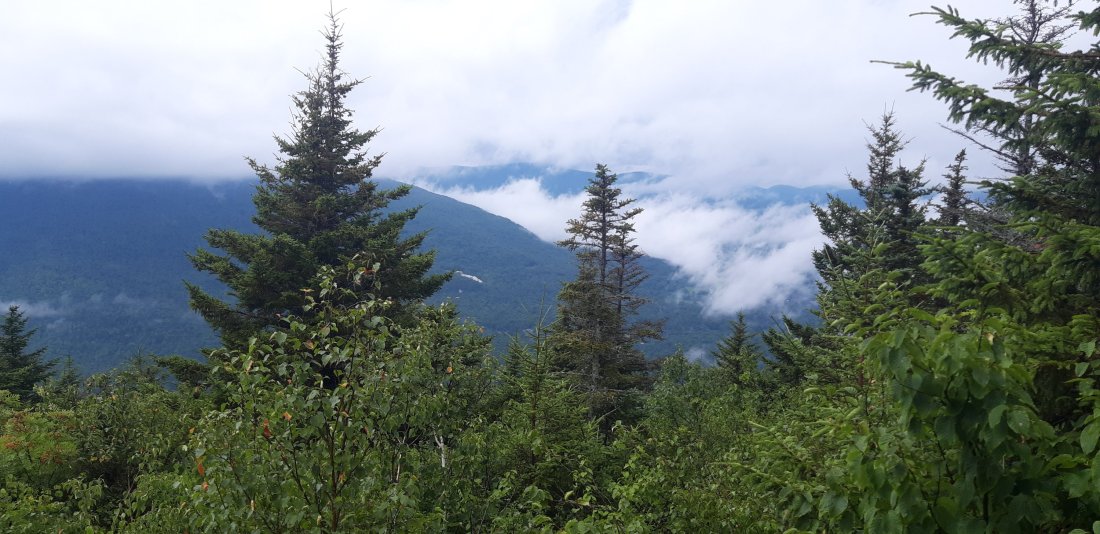
View of Katahdin!!

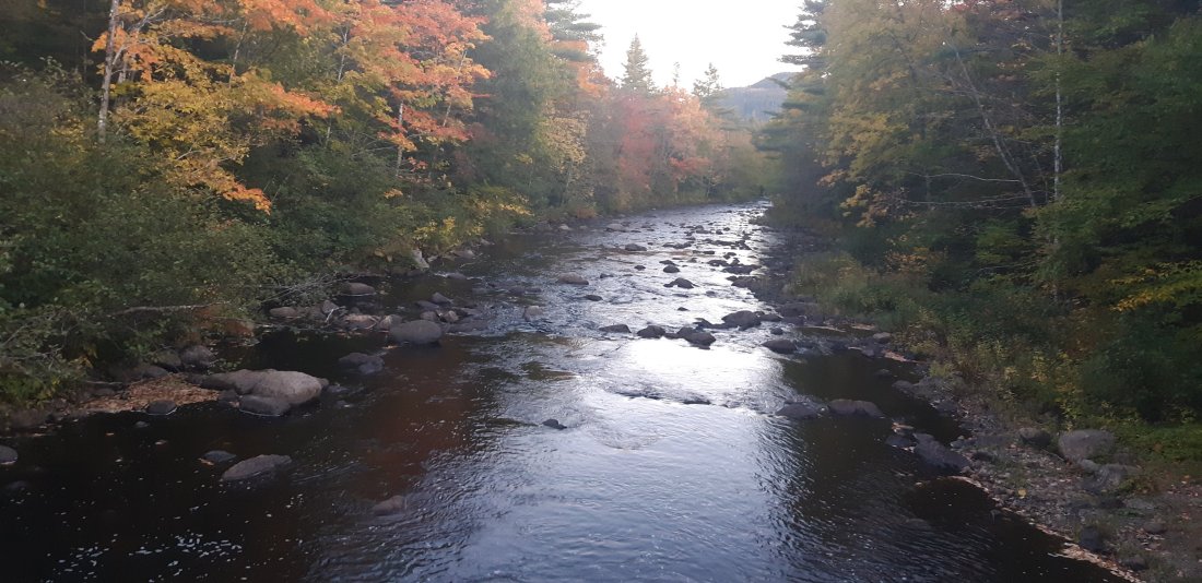
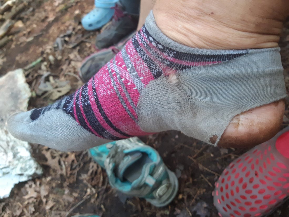
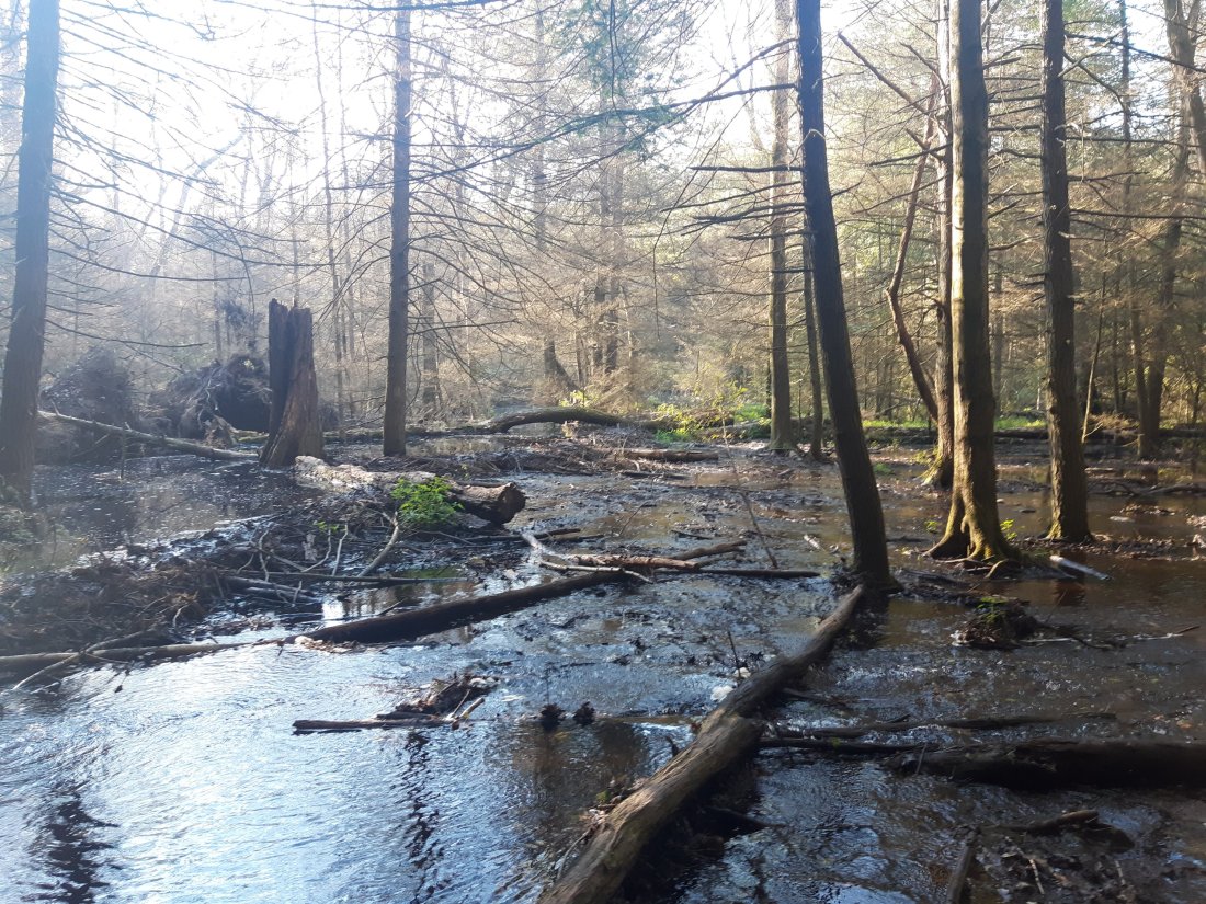
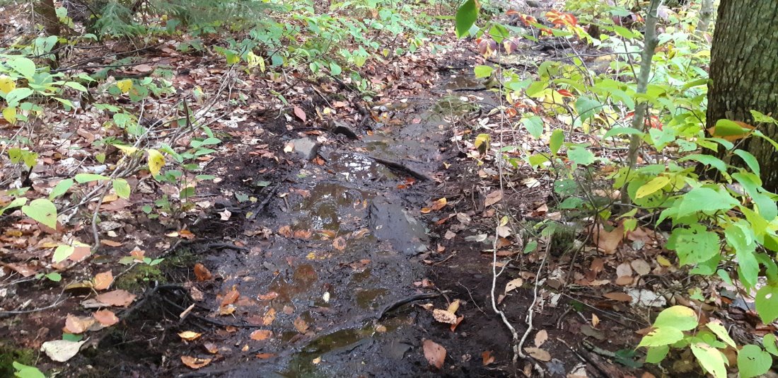
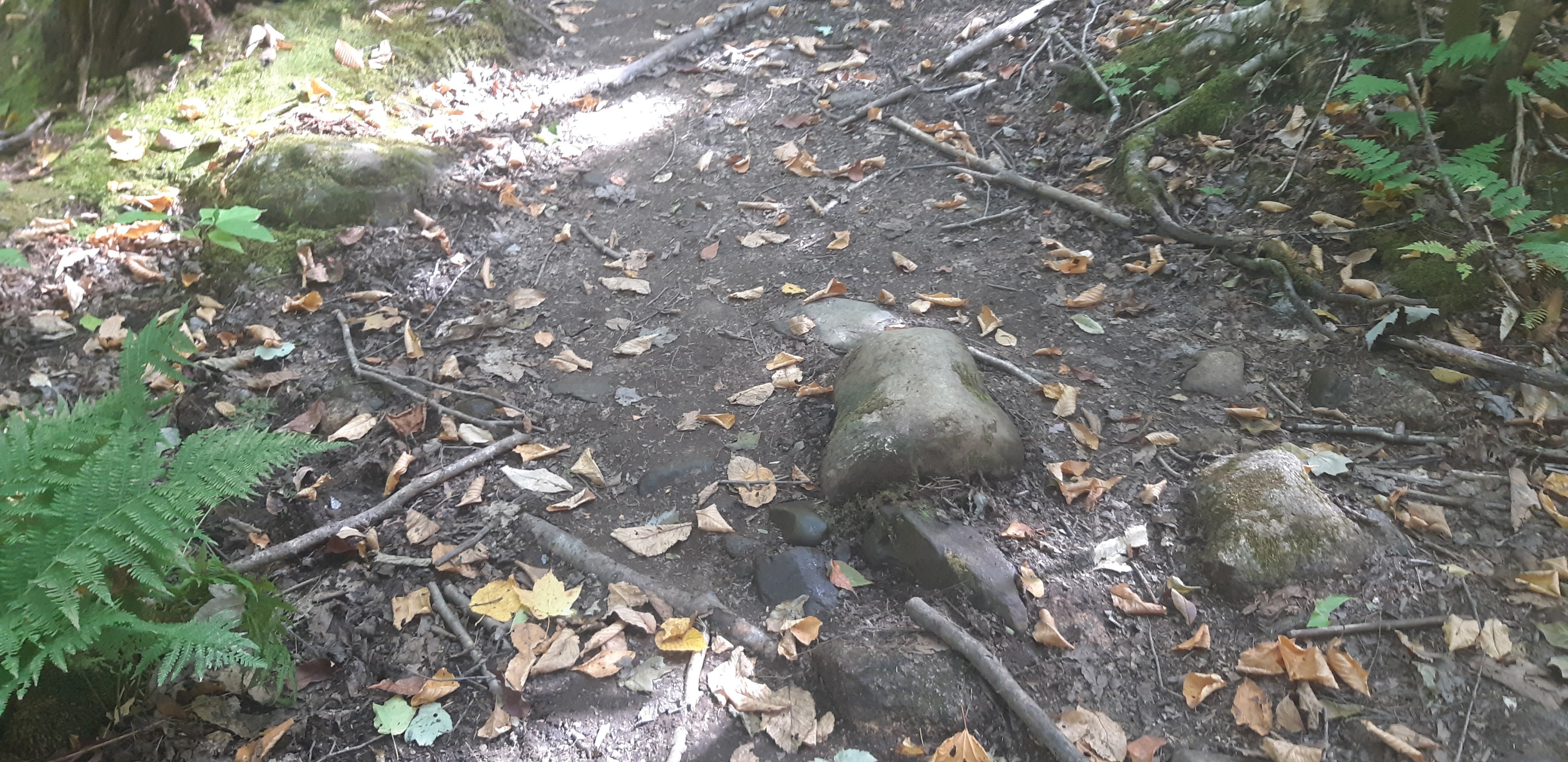
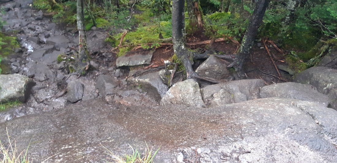
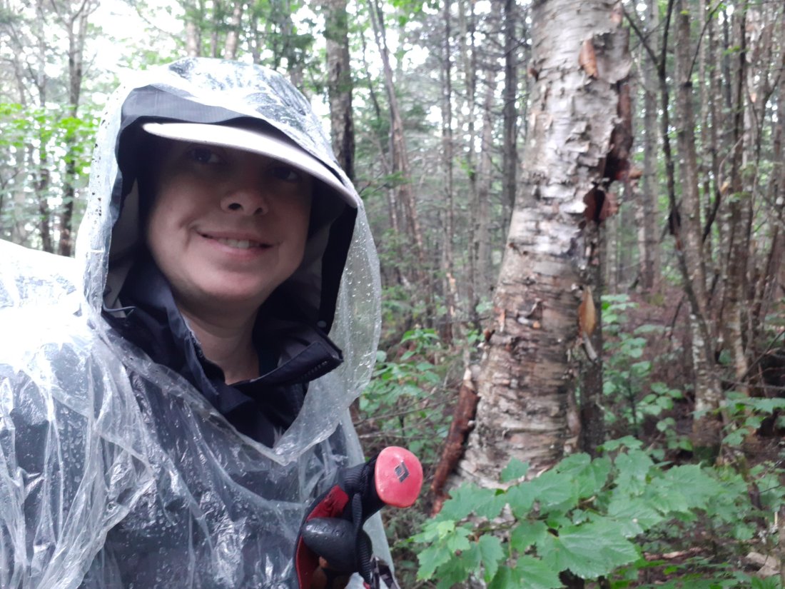
Another river crossing. It doesn’t seem possible to get through a day in Maine with dry feet.

I made it after dark. Technically 29.6 miles, but a new personal record (I mean it’s basically 30 miles.) My feet are so water logged they look like they are decaying.

Day 178 Rainbow Stream Lean-to to The Birches Campsite (Mile 2186.7)

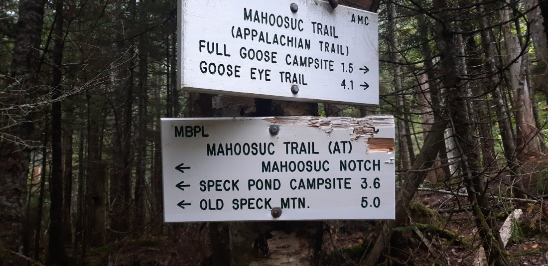
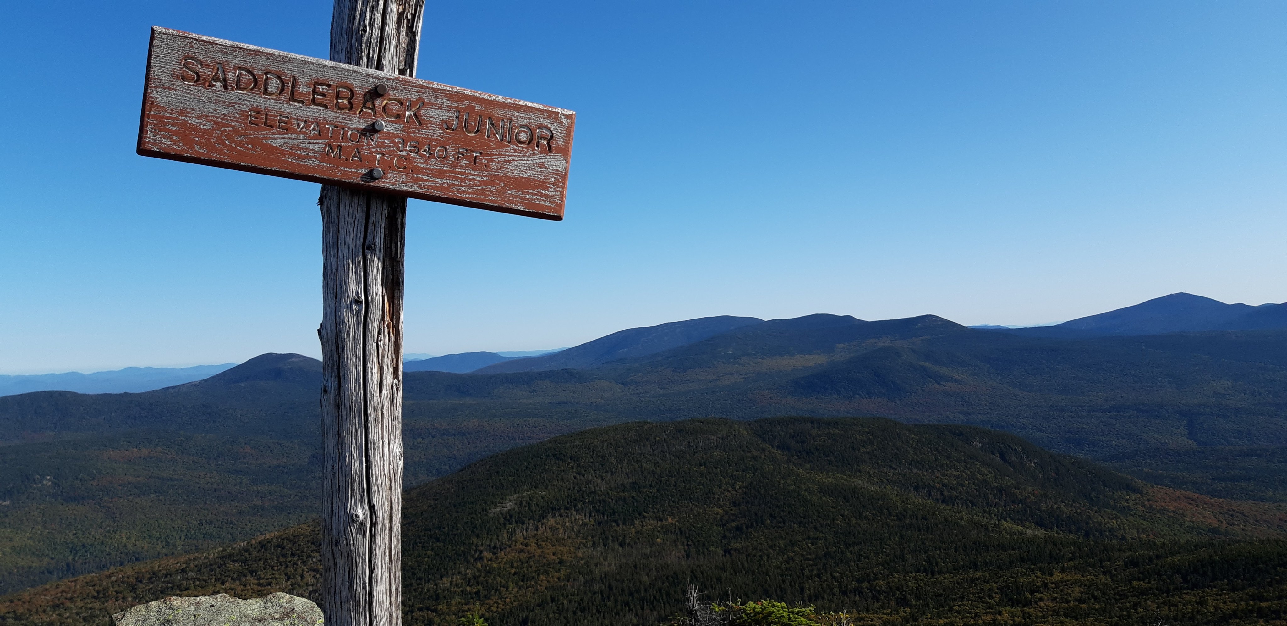
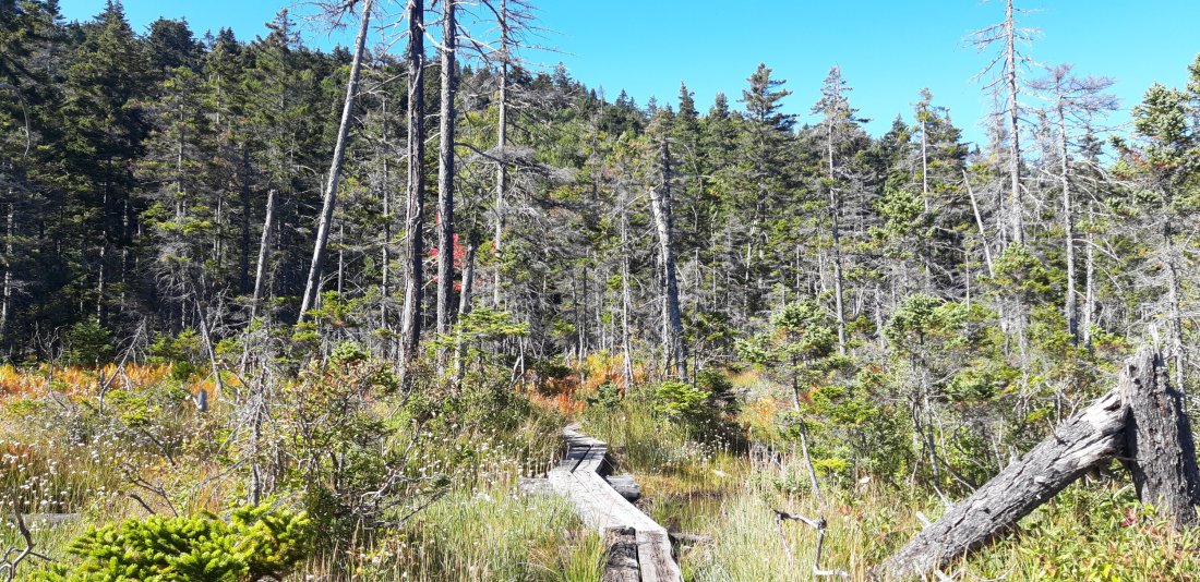
It is starting to seem very possible to push my summit date up to 9/29 (tomorrow) and catch my friends. I have 15 miles to finish the 100 mile wilderness, then 1 mile to the sign-up sheet for The Birches Campsite. The campsite is another 9 miles from the sign-up sheet at the base of Katahdin. If I get to the sign-up sheet and it’s full, then I’ll have to hike back a mile and camp at least 10 miles away from Katahdin. Most people try to get there first thing in the morning to secure a spot, but I have to hike 15 miles before I’ll get there today.

Ideally I’ll get there, sign up, see my friends tonight at the campsite and summit with them tomorrow!

On my last full day, I got to see a moose! (Video is not great. )

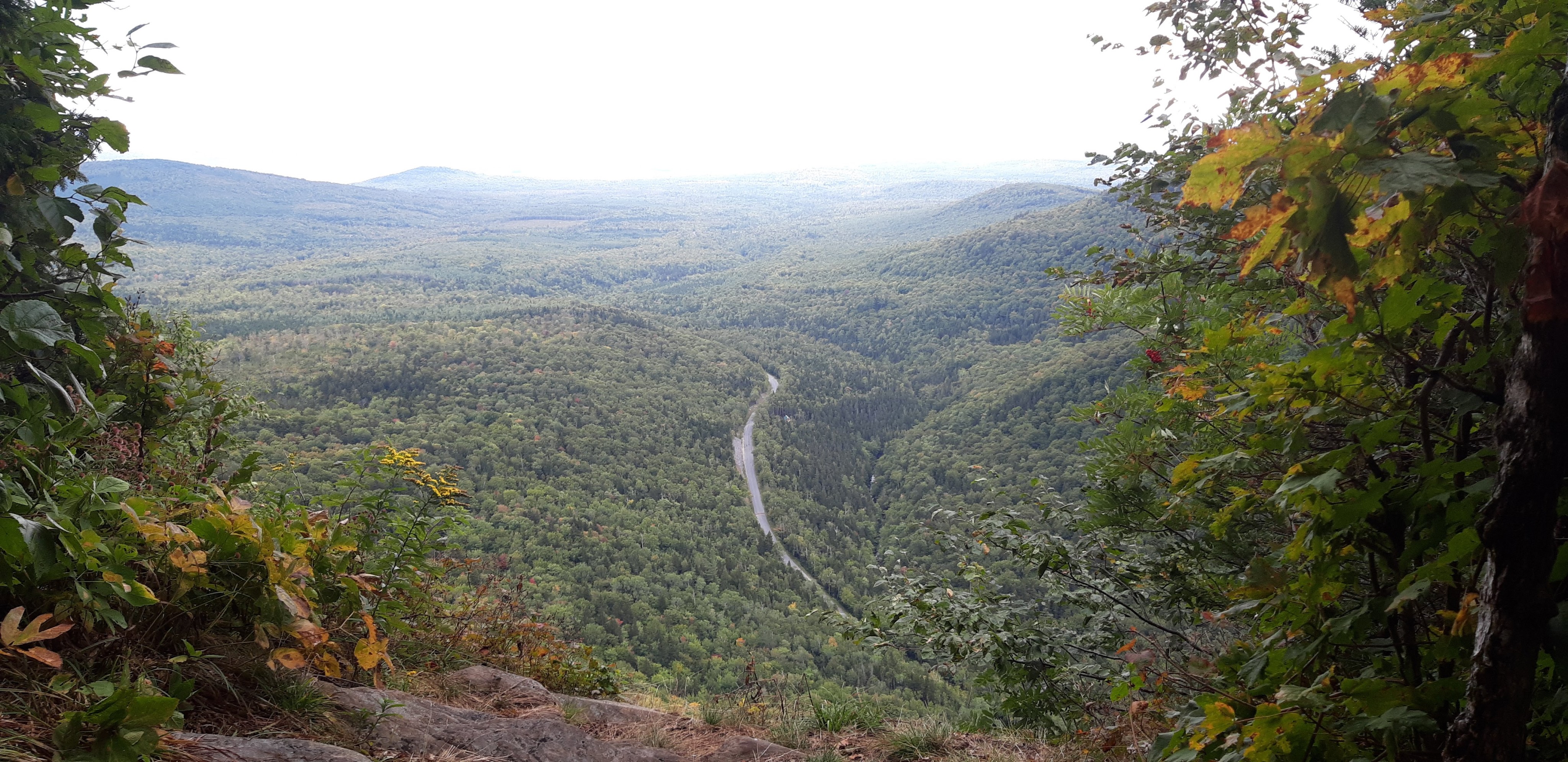
Crossing Abol Bridge I got another view of Katahdin!
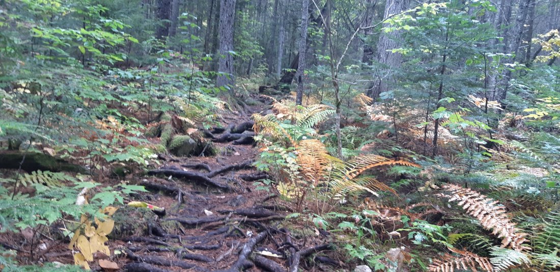
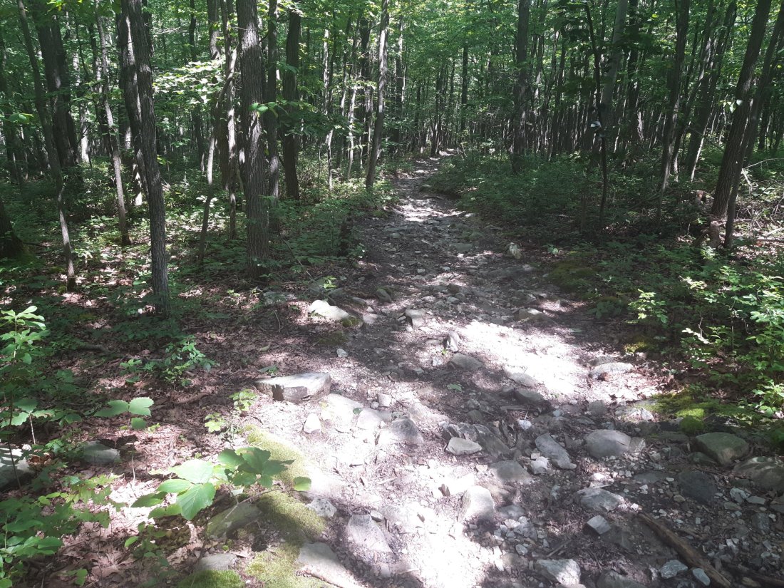
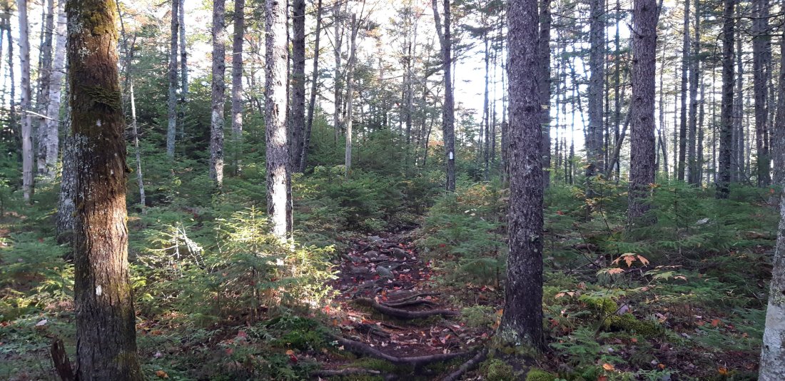
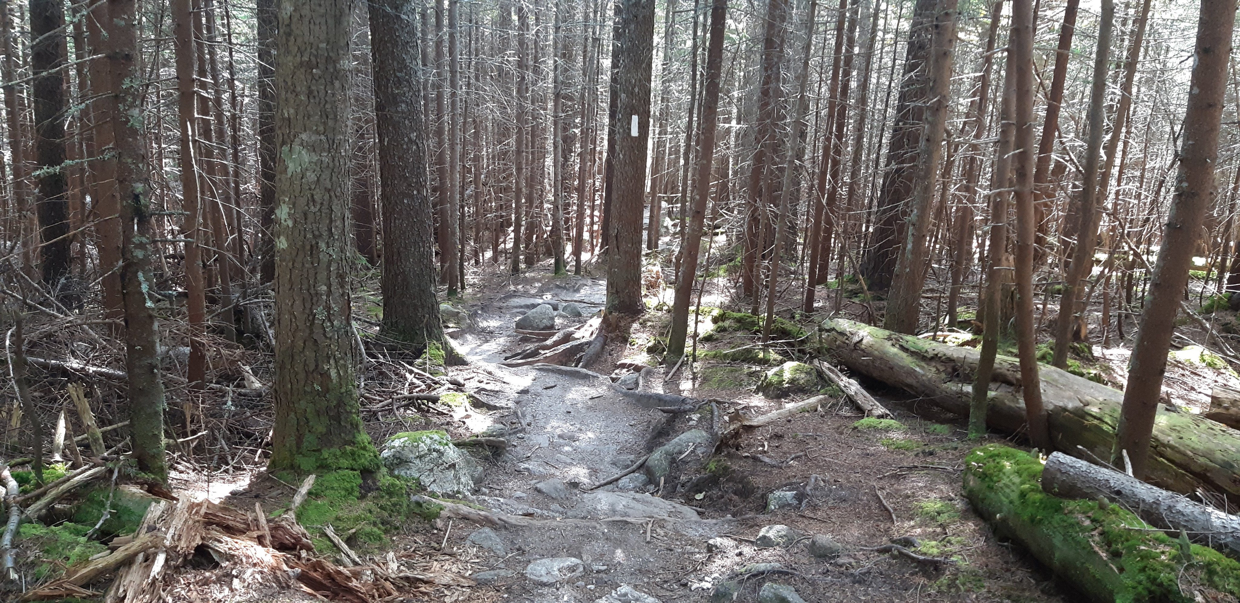
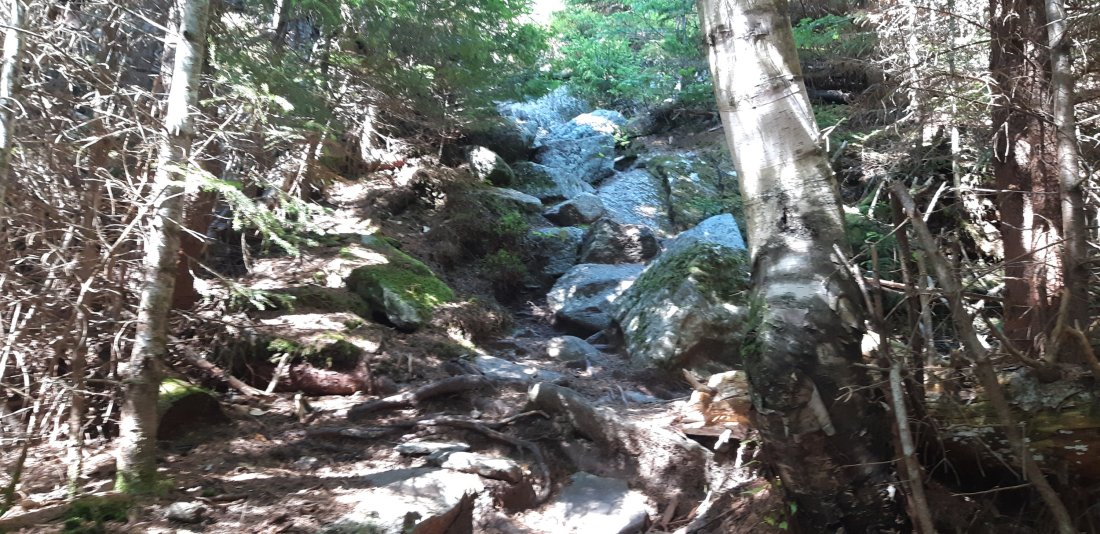
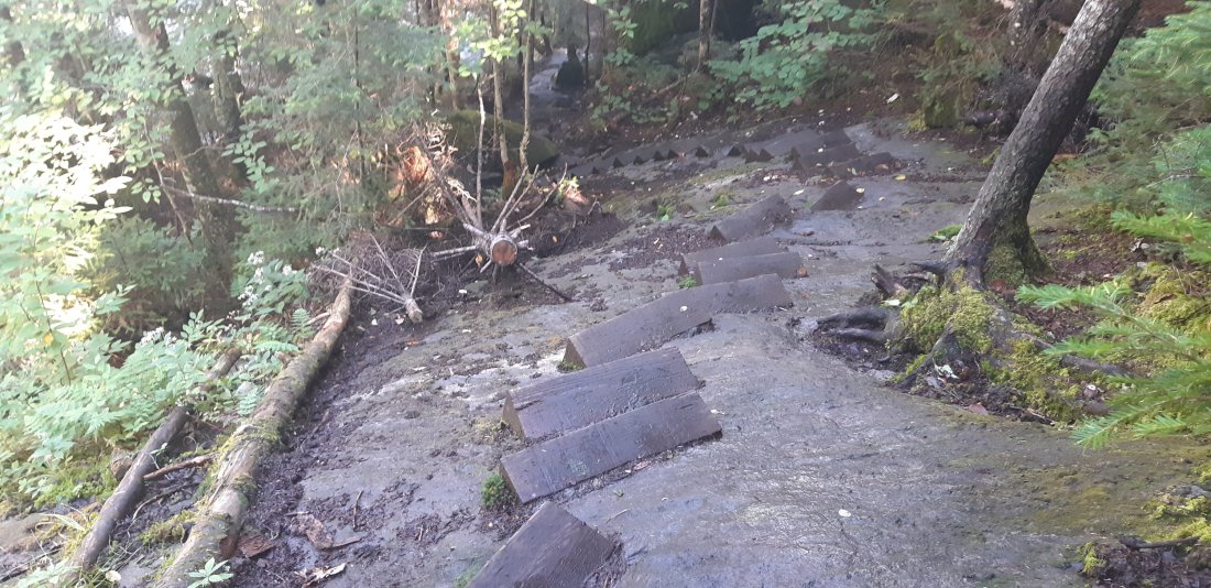
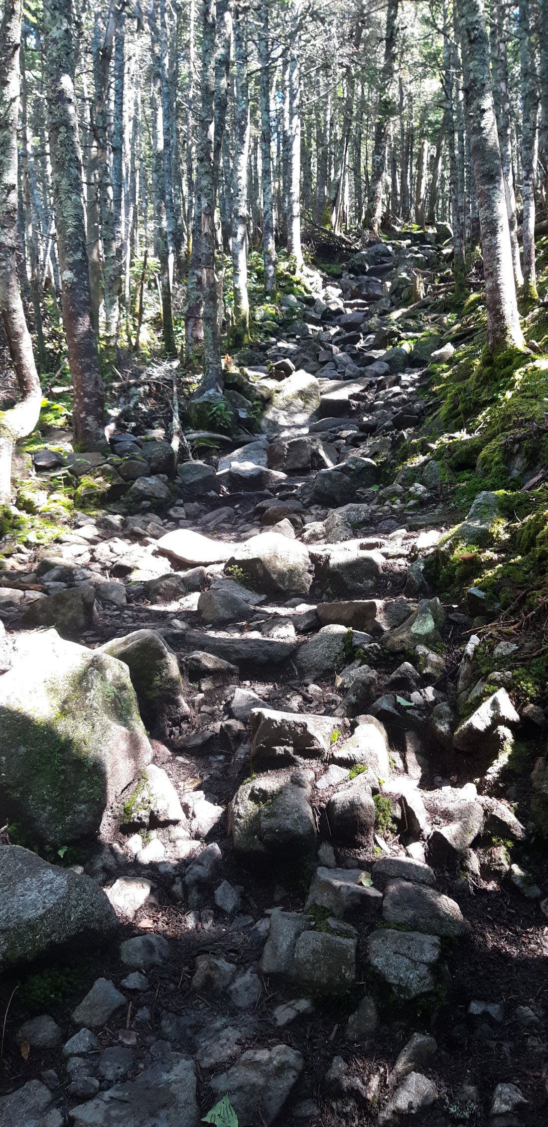
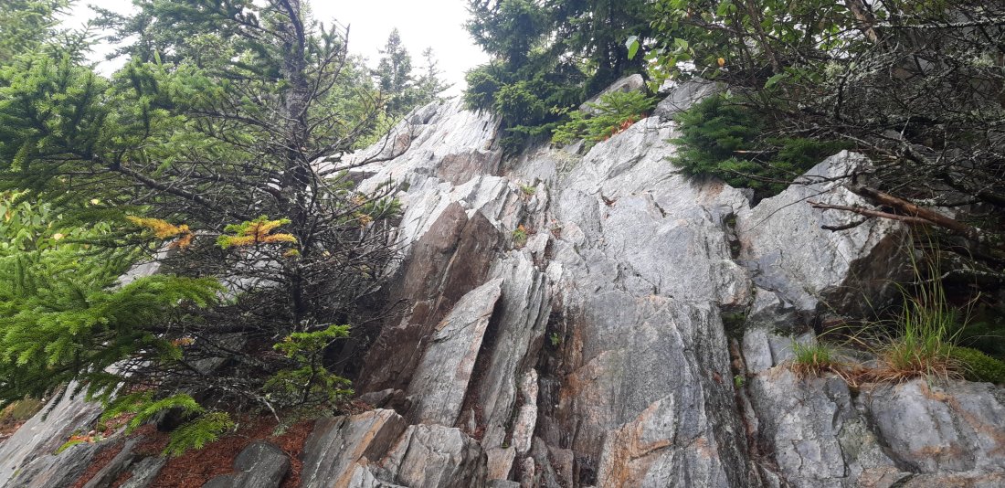
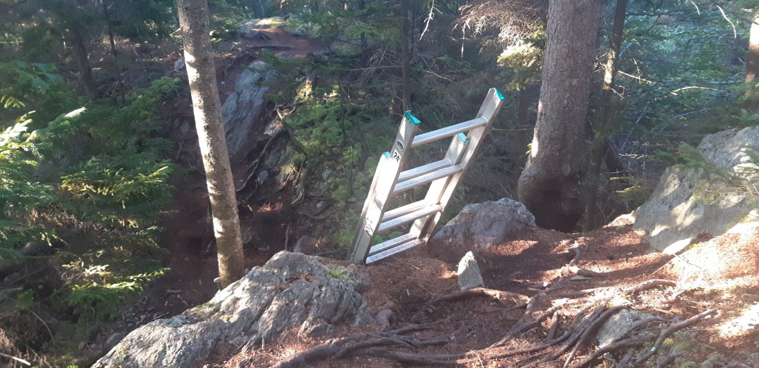
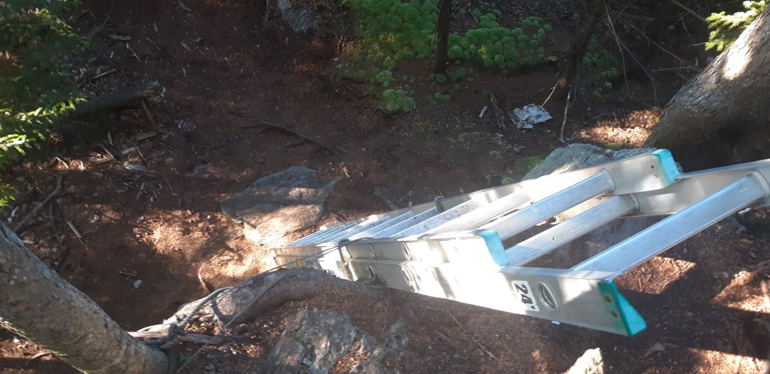
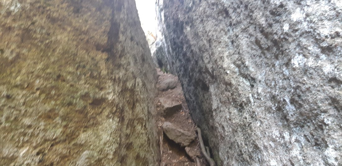
So many roots!

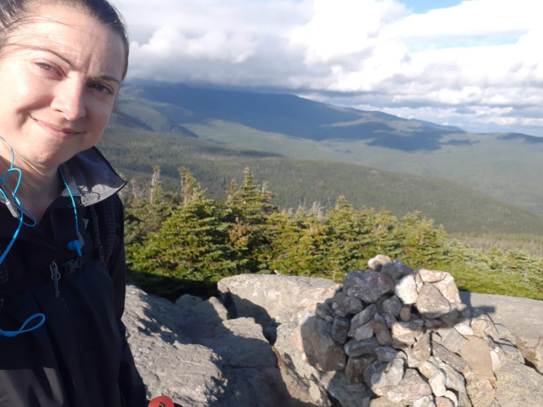
Moment of truth! I made it to the sign up sheet at about 1pm. To my surprise there were three spots left!! I took a moment here to let it sink in that I’m about to finish the entire AT tomorrow, day earlier than I planned! I’m also going to see my friends at The Birches Campsite tonight!

With less than 9 miles to go until the campsite, and a nice flat trail I was feeling pretty good and hiked at a fast pace.

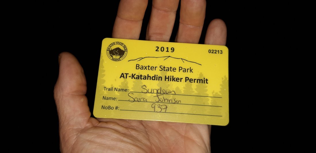
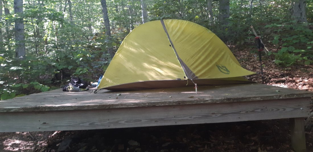
I checked in, got my permit and set up camp for the last time on the AT!!

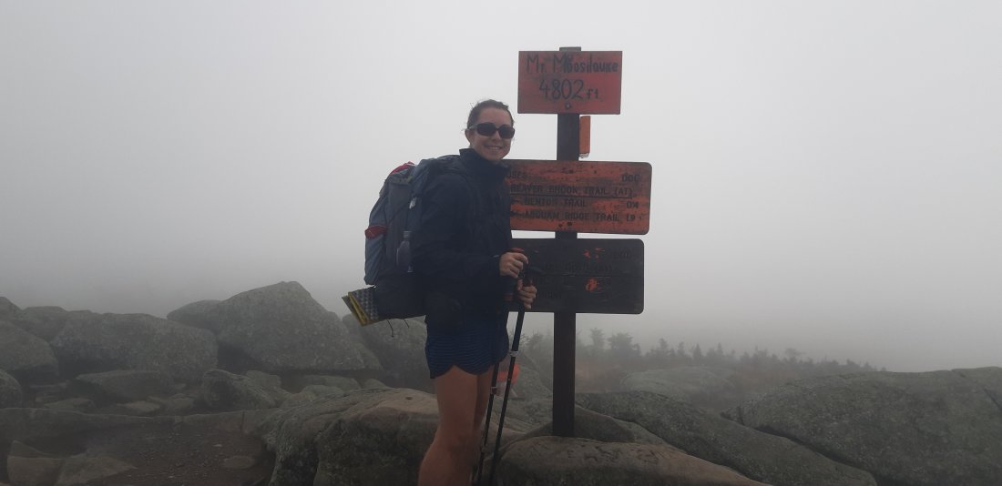
Day 179 The Birches Campsite to Katahdin! (Mile 2192.0)

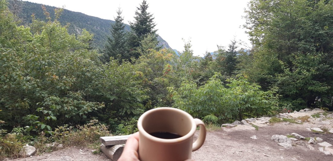
I woke up early and made my last instant coffee in a Gatorade bottle.

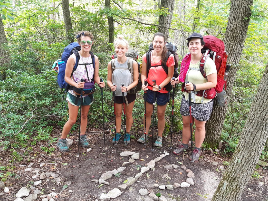
I hiked with Lights and Spiderman on our last day! We all left most of our stuff at the ranger station, before starting our hike up Katahdin.

Of course even on the very last day there would be another river crossing. I took my socks off here and put them back on later.

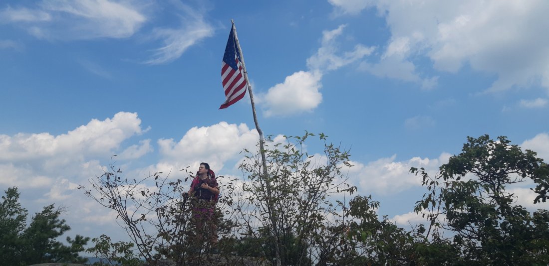
The moment when we reached the iconic sign was truly a surreal and exciting moment!

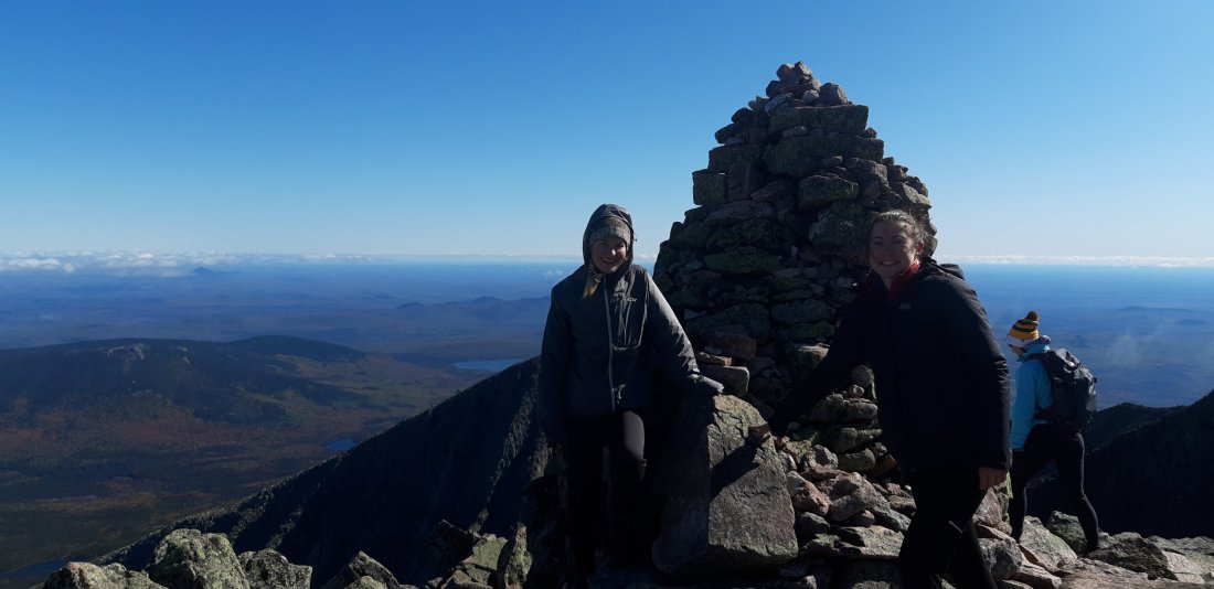
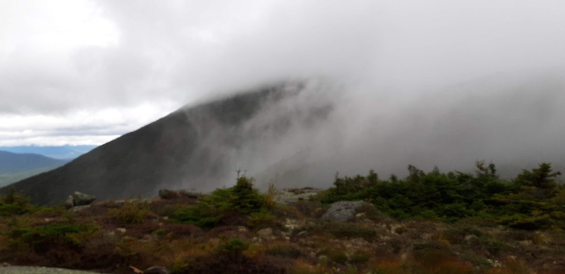
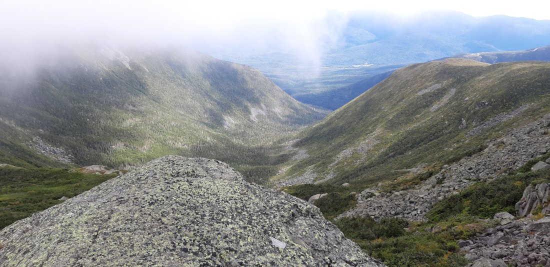
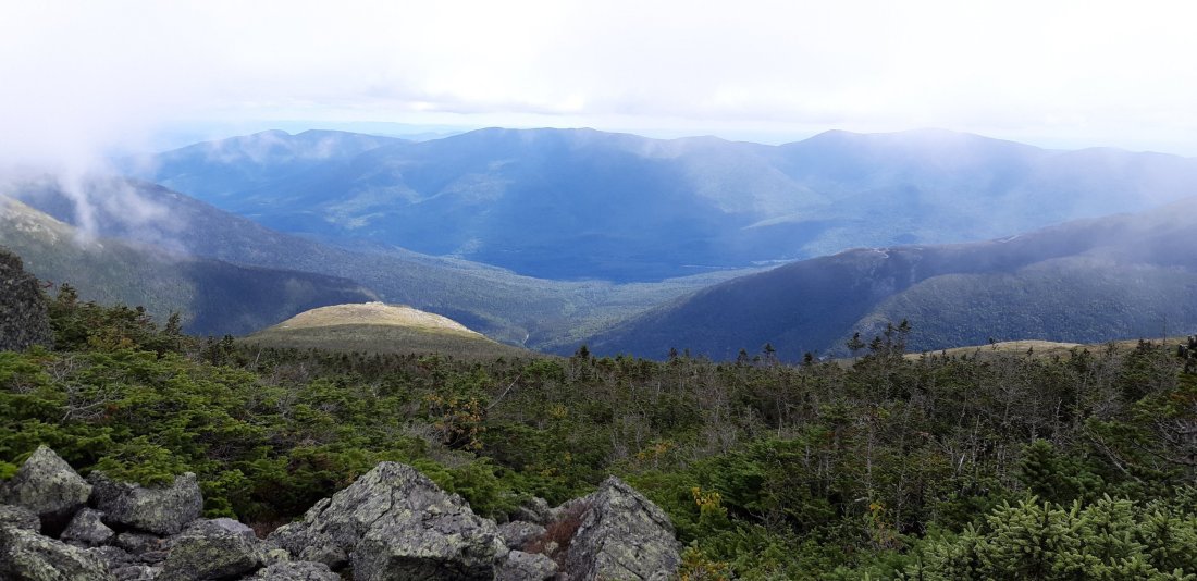
Katahdin is truly the finale to the AT. We had fairly ideal weather, but still experienced very strong winds in places that were also very steep. While it was the toughest climb on the AT it also had the most amazing views at the top, unlike any I’ve seen previously. The day was made even more special because I was able to share it with two of my amazing friends.

After we hiked back down the mountain we managed to hitchhike all the way to Bangor, ME (it took 4 hitchhikes altogether!)

We got a hotel in Bangor and I was able to book a flight home the next day!

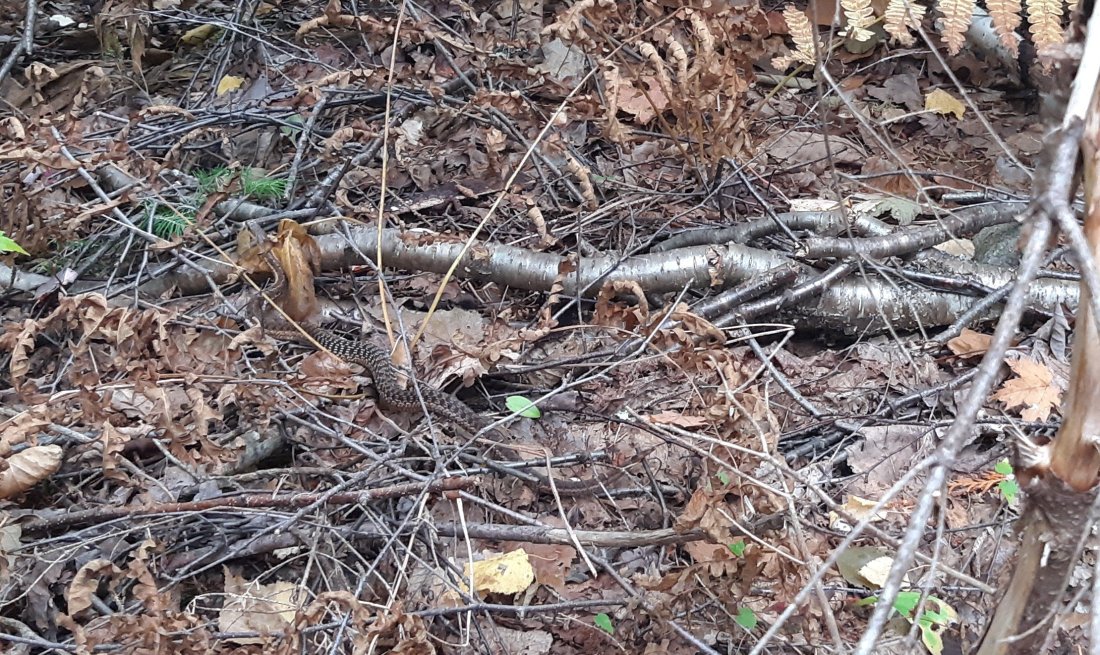
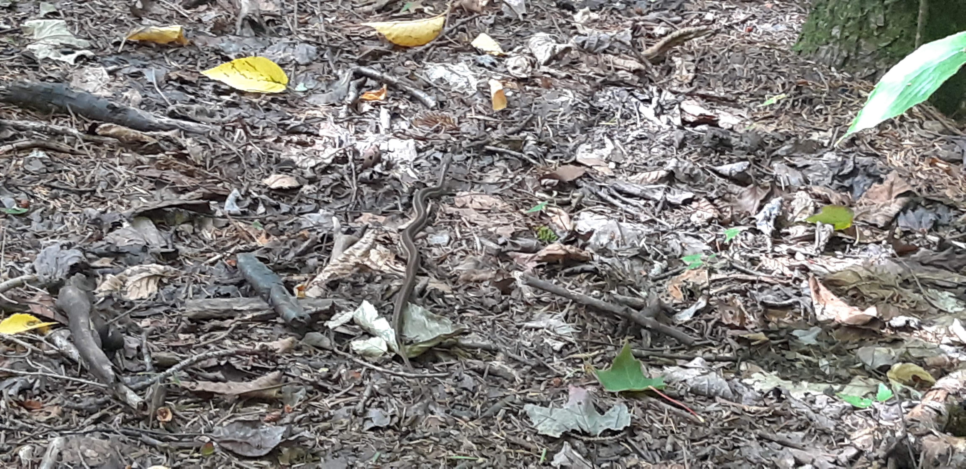
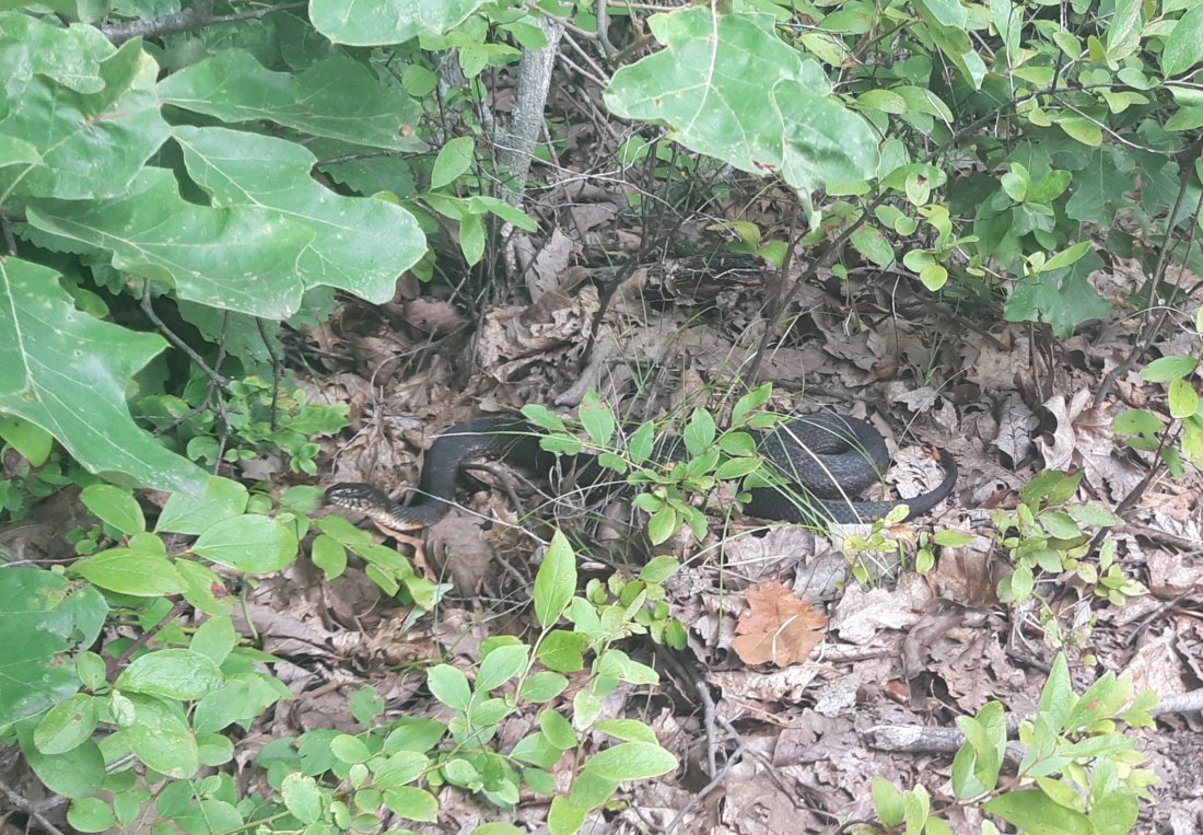
Altogether on the trail I’ve seen 6 bears, 1 moose, 2 beavers, 27 snakes (18 just in Maine!). I lost 21lbs since I started 6 months ago. This was an unforgettable, amazing experience! I am fortunate that I was able to do the trail this year and will never forget the amazing people I’ve met. While I will miss the trail, I’m also happy to see all my friends and family back home.

The end!! 🙂

-Sundown

AT Days 164 -172 (Maine part 1)

Day 164 NH/ME State Line to Tentsite (Mile 1917.8)

From the border sign I knew I had 6 miles before I would reach Mahoosuc Notch (also known as the the slowest mile on the AT). I figured I would breeze through the 6 miles and then take my time when I got there around lunch-time.

It turns out the first 6 miles were very steep and I didn’t reach Mahoosuc Notch until early afternoon.

Mahoosuc Notch was like figuring out a puzzle every time I wanted to move forward. I frequently removed my pack and either sent it over a boulder, or pulled it behind me under a boulder. I dropped my trekking poles several times so I could climb down from steep rocks (I almost dropped them in a deep dark hole by accident).

I used my bear cord to lower my pack down over large steep boulders a few times. Altogether, this 1 mile took me a little over 2 hours to complete. Shortly after this section was a tent site, where I decided to call it a day with a total of 7 miles for the day.

Day 165 Tentsite to Dunn Notch and Falls (Mile 1934.3)

Today is my birthday! I woke up to find this little slug on my tent. I love slugs and snails, so I knew this was going to be a good day. Plus the slowest mile on the AT is now behind me.

Today was actually a perfect day for hiking. I saw a beautiful view in the morning from the top of Mahoosuc Arm.

And I failed to make it across a poorly constructed bog bridge without submerging my leg in mud. But I was grateful that it was only 1 leg, and not my whole body. I was also happy I decided to wear shorts and not long pants today.

Not long after that happened, I found this pond to wash off my muddy leg.

20190915_140144-1

I saw a snake! I have actually seen 3 snakes so far just in Maine. I don’t think any of them are venomous.

20190915_125257

The whole day was a pleasant hike, and not as steep and technical as the first 7 miles of Maine. I set up camp at a small water fall where I also had phone service (It is rare to find phone service in Maine that is not on top of a mountain and also at a place that I can camp)! Even though I spent my birtoday completely alone, I actually had a nice day.

Day 166 Dunn Notch and Falls to South Arm Road (to Andover, ME) (Mile 1945.2)

20190916_062758

Since I had phone service I woke up and called a hostel to reserve a spot for the night in Andover. I only had 11 miles to go before getting to the road.

20190916_091303

20190916_103636

At the top of Moody Mountain I called the hostel and requested a shuttle to pick me up. I stayed the night in town and ate a bunch of food and resupplied for the next few days.

20190916_162838

Day 167 South Arm Road to stealth camp (Mile 1958.8)

20190917_063940

I enjoyed some more yummy town food before hitting the trail again. I also packed out a pancake to enjoy for lunch later! (Why haven’t I tried that before?)

20190917_095715-1

20190917_110951-1

20190917_113505-1

First thing from the road was a steep climb and view from Old Blue.

20190917_163353

Also a view from Bemis Mountain

20190917_183142

This view was from a road that happened to have a bench and a great view. I found a stealth spot to camp less than half a mile north of here.

Day 168 stealth camp to Redington Stream Campsite (Mile 1979.7)

20190918_093154-1

20190918_180421

20190918_181501

Today included a climb up Saddleback Mountain which didn’t seem as steep as many of the previous mountains so far.

20190918_184700

I also climbed The Horn, and ended up at the top at sunset. While the views were incredible, I’ll admit that the 1 mile down the mountain in the dark to the tent site was stressful. It turned out to be very steep and rocky. But I made it and got some great sunset pictures as a result of my slowness in getting to camp.

20190918_190419

20190918_190928

Day 169 Redington Stream Campsite to Carrabassett River (Mile 1995.4)

20190919_090531-1

20190919_090536

20190919_091330

20190919_120429

Day 170 Carrabassett River to Horns Pond Lean-tos (Mile 2008.9)

20190920_085701

20190920_093640

Today I went into Stratton to resupply and get lunch. I went to a bar/restaurant for lunch and ordered a bacon cheeseburger and fries and a beer for lunch. When I was done eating I asked the bartender for the menu again so I could order something else… I ended up getting a cheesesteak and sweet potato fries and another beer. The bartender was really entertained by the fact that I ordered two entrees. When I got the check she told me that the lady at the bar paid for my cheesesteak and I also got a “hiker” discount on my bill because she said they liked my style of ordering 2 entrees! After lunch I resupplied at a grocery store nearby and hit the trail for a few more miles to end the day.

20190920_181219

Day 171 Horns Pond Lean-tos to West Carry Pond Lean-to (Mile 2026.8)

20190920_171946

20190921_151158

The trail is starting to get easier physically, but at the same time I feel like each day kinda feels the same as the day before. It is becoming more of a mental challenge, as I am starting to accept the fact that I might not catch up to any of my friends before the end, which makes me sad because we didn’t get a chance to say good-bye. At this point I just really want to get to the end and finish the trail.

20190921_183120

Day 172 West Carry Pond Lean-to to stealth camp (Mile 2049.9)

20190922_131423

The first half of the day was an easy hike to the Kennebec River. There is a guy here who will ferry hikers across for free since it is too large to ford.

20190922_141314

The second half of the day ended up being my biggest mental challenge of the entire trail, as well as my lowest point. As the trail got easier/flatter I picked up speed and started making great time. As I was walking I tripped on a stick and fell. On my way down I could see a large rock right where my face was about to be, and luckily I put my arm out and avoided busting my face on the rock. I landed to the side of the rock and laid on the ground for a few seconds thinking about how lucky I was that my face didn’t hit the rock, and how bad it could have been. As I stood up, however I began to notice that my right knee was twisted, and I couldn’t move it normally. I began to think about my options… Can I continue hiking forward? Do I need to go back to the road I passed about a mile ago? I have 150 miles left until the end; am I too injured to continue?

I hadn’t seen anyone all day, so I decided to let my frustration out on the rock I almost busted my face on. I hit it as hard as I could with my trekking pole (and broke it a little). Finally, I decided to hike on even though I was limping. I stopped on the side of the trail to find some ibuprofen. Some hikers passed by and said hi and asked me how it was going. I wasn’t able to hide the fact that I had been crying. I told them about my fall, but also that I was fine. They gave me a hug and made me feel better.

Probably about an hour later, the ibuprofen must have kicked in and my leg actually started feeling a lot better and I was able to move it normally. I was relieved and a little embarrassed about my little meltdown.

AT Days 156-163

Day 156 Stealth camp to Zealand Falls Hut (Mile 1838.9)

Another day of steep climbs and amazing views!

I took this 0.1 mile side trail, thinking I would see a view. I was mildly disappointed at the lack of view…

I got a “work for stay” at the Zealand Falls Hut. I had to do dishes, and in exchange I got dinner, breakfast and was allowed to sleep on the dining room floor. The food was amazing and I had a good experience here.

Day 157 Zealand Falls Hut to Mitzpah Campsite (Mile 1853.0)

I enjoyed hot coffee from the hut (I got rid of my stove back in CT, so I appreciate hot coffee whenever I can get it!)

I climbed over Mt. Garfield I the morning.  I had stealth camped right before this peak the night before because I was too tired to do it at the end of the day.  I enjoyed the morning views.

Another amazing view, this time from South Twin Mountain.

Day 158 Mitzpah Campsite to Lakes of the Clouds Hut (Mile 1857.7)

Today was supposed to include Mt. Washington, but due to heavy fog and high winds I decided to go 4.7 miles and stay at the Lake of the Clouds hut which is right before the Mt. Washington peak.

I met up with some friends on the short windy hike, and we took this photo next to no view and a random cairn behind us.  It was a lot of fun hiking with these guys.

This is the Lake of the Clouds hut from about 20 ft away.  It is barely visible further confirming the decision to stop here and do Mt. Washington tomorrow.

Who knew there is an Appalachian Trail board game?!  I played this with some hikers while we waited out the bad weather.

Day 159 Lake of the Clouds Hut to stealth camp (Mile 1869.1)

The next day was still foggy and windy, but considerably less than the day before.  A sign on the way up warns of the dangers of hiking up to the peak during bad weather.

Made it to the top!

I actually had a hard time finding where the trail continues because it was so hard to see.  I found it eventually and started down the other side of the mountain.

The views on the way down were much better than at the top.  The fog broke, and left views of clouds on top of mountains.

At the end of the day I found a little cul de sac off the trail, big enough for 1 tent.  Perfect little stealth spot to end the day.

Day 160 Stealth camp to Pinkham Notch (to Gorham, NH) (Mile 1872.6)

Today I hiked 3.5 miles into Pinkham Notch where I hitched a ride into town.  I took the rest of the day off to rest, shower, laundry, resupply, etc…

Day 161 Pinkham Notch to Carter Notch Hut (Mile 1878.5)

From Pinkham Notch I hitched back to trail in the morning.

No surprise here that the Wildcats were full of steep rocky climbs just like the rest of the Whites have been so far.

Steep climbs lead to pretty views.

I decided to stop at the Carter Notch Hut about 6 miles away for a quick break.  I was sore from falling on the trail earlier in the day and it started to rain while I was there.  The hut had room for another “work for stay” so I decided to call it a day and stay here.

Day 162 Carter Notch Hut to Rattle River Lodge and Hostel (Mile 1893.7)

I was feeling pretty good today, and moving a lot faster than the day before.  It was a beautiful day for hiking.

I hiked to the Rattle River Hostel, just in time for their 5pm shuttle to Wall-Mart to resupply and also stayed there for the night.

Day 163 Rattle River Lodge and Hostel to NH/ME State Line (Mile 1910)

I made 1900 miles and this is the last day of hiking in NH.  I was determined to make it to the New Hampshire/Maine border sign today.

It was a beautiful day for hiking, and there were lots of flat areas where it felt good to hike fast.

I made it to the border sign just before dark!  I took the picture, then basically went into the woods and found a stealth site to set up camp!  I packed out a beer to toast to myself after crossing into the last state.

20190913_193828

AT Days 149-155

Day 149 Just outside Hanover to Trapper John Shelter (Mile 1766.5)

We had camped just outside of town where a thin layer of trees separates the woods from a soccer field.

I woke up and got a coffee from town before packing up my tent and heading out.

Day 150 Trapper John Shelter to Hexacuba Shelter (Mile 1778.5)

I was feeling sore and tired, so decided to make it a short mileage day. I stopped at the Hexacuba Shelter and grabbed the only good tentsite. I was in my tent ready to sleep by 6:30.

Day 151 Hexacuba Shelter to N.H. 25 (to Glencliff, NH) (Mile 1793.1)

The day started by crossing a log bridge that was in very bad condition. I took it super slow going across.

On top of Mt. Cube I got some very pretty views.

Less than 400 miles to go!

I stopped at Hiker Welcome Hostel and planned on spening one night, but I ended up checking the weather and saw that it is supposed to rain all day… so I decided to take another zero and wait it out.

Day 152 Zero at Hiker Welcome Hostel

As expected it rained all day. I didn’t want to hike a slippery, rocky mountain in the rain, so I stayed at the hostel. The weather should be clear tomorrow, but it is supposed to storm the next day.

Day 153 N.H. 25 to stealth camp near trail (Mile 1811.2)

Mt. Moosilauke was the first mountain in the Whites. It was steep and full of wet slippery rocks.

Made it to the top of a very foggy mountain!

The decent was more difficult than the climb. I was glad I waited to do this on a day with good weather.

I ended up “stealth” camping at a spot near the trail, a short distance up the Kinsmans.

Day 154 Stealth camp to Liberty Springs Trailhead (to Lincoln, NH) (Mile 1818.9)

Today I climbed the Kinsmans. This climb was steeper and more difficult than Moosilauke.

More foggy views at the top.

The decent was steep, but not as bad as Moosilauke.

I passed by the first hut in the Whites. I wanted to check it out, but decided to stay focused on hiking on. It was supposed to start raining any minute. I eventually made it down the mountain and stayed in Lincoln, NH for the night.

Day 155 Liberty Springs Trailhead to stealth camp near trail (Mile 1828.0)

The climb up Mt. Lafayette was another very steep climb, but the views at the top of Franconia Ridge were amazing! This was truly one of my favorite places on the AT so far.

AT Days 137-148

Day 137 Vt.9 to Kid Gore Shelter (Mile 1627.2)

Fun fact… this cheese can be kept in a backpack for an entire week and not go bad. It’s perfect for backpacking, but I might not buy this anymore when this hike is over.

Day 138 Kid Gone Shelter to Winhall River (Mile 1644.3)

I usually tent even at shelter sites, but this time decided to sleep in the shelter. I woke up to an amazing sunrise view!

The day consisted of several sections of mud to trudge through.

Lots and lots of mud…

I met up with my friend Lights at the end of the day and we camped near a river.

Day 139 Winhall River to Bromley Shelter (Mile 1654.8)

The mud seems to be coming up less frequently!

We stopped in Manchester Center, VT today to get lunch and resupply. I ate a huge burrito like it was nothing. We also found some of our friends in town. Everyone wanted to stay in town, but I decided to get back on trail. I was focused on getting to Rutland to pick up a package from the post office in a few days.

I ended up hiking about 2 miles out of town and got to use this tent platform. No one else was in this little tent area, so I got the site to myself. This is the first time I’ve camped without anyone I know in a long time, but I figured I’d catch up with my friends in or after Rutland in a few days.

Day 140 Bromley Shelter to Greenwall Shelter (Mile 1677.5)

So today it rained all day long.

I stopped at the first shelter for a break about 8 miles in. It was tempting to stop here for the day and watch the rain, but I kept moving.

Luckily it stopped raining when I got to this rocky section.

Later in the day I came across this “rock garden” where people have left all these cairns. I thought it was so cool. It was a nice reward near the end of a long, rainy, 22.7 mile day!

Day 141 Greenwall Shelter to Governor Clement Shelter (Mile 1692.4)

I was moving super slow today after my big mileage day yesterday. I took lots of breaks. At about 1pm I had only gone about 5 miles.

I eventually made it to my goal about 15 miles away. And I now have less than 500 miles to go to Katahdin!!

Day 142 Governor Clement Shelter to US.4 (to Rutland, VT) (Mile 1703.0)

Today I just have 10 miles until I get to route 4 to Rutland. I am super excited to pick up a package with my new hiking shirt and take a zero day!

I love that someone makes these mile markers every 100 miles. Made it 1700 miles!

I celebrated 1700 miles with pizza and beer!

Day 143 Zero in Rutland, VT

I was excited to find delicious tamales in Vermont!

I picked up some $6 shades! I really wanted to wear them but didn’t have a way to cut off the plastic tag thing. Also, I picked up the new shirt I had ordered from the post office!

Day 144 US.4 to Stony Brook Shelter (Mike 1713.0)

I only hiked about 10 miles from town. I didn’t see any of my friends in town, but hopefully I’ll see them on the trail soon.

Day 145 Stony Brook Shelter to Pomfret Road / Brook (Mile 1731.1)

Ten minutes into my hike this morning, I came across this shop ladder! I wonder how people got down from here before the ladder was here.

Later in the afternoon another hiker and I found some trail apples. They were a delicious surprise!

Day 146 Pomfret Road to Hanover, NH (Mile 1749.8)

This tree has a face and arms!

I made it to NH! I had ordered some new shoes and sent them to the Hanover Post Office, but they aren’t going to be delivered for 2 more days. So I got a hotel nearby in White River Junction, and I’ll be taking a zero. My feet needed it anyway…

Day 147 Zero in White River Junction, VT

My package says it will be here tomorrow. I really hope it gets here soon so I can move on.

Day 148 Hanover NH to Just outside of Hanover (Mile 1750.6)

I got a shuttle ride back to Hanover, but needed to kill time in town to wait for my package to arrive.

While hanging out in town I found some of my friends! I got a free donut with Lights and Spiderman!

I got some nachos and eventually picked up my package.


And later that day I found these guys!

I ended up camping right outside town with a bunch of other hikers.

AT Days 128-136

Day 128 Riga Shelter to MA 41 Undermountain Road (Mile 1519.2)

I had been anxiously waiting for the “Welcome to Massachusetts” sign and here it is! I am in Massachusetts!

We got a ride from the road (MA41) and decided to take a zero day.

Day 129 Zero in Great Barrington, MA

I found some Bullet Proof coffee at a local cafe to enjoy while doing laundry.

And later that day I ate so much McDonald’s. I don’t even really eat that much fast food normally, but it was so good!

Day 130 MA41 Undermountain Road to Mt. Wilcox South Shelter (Mile 1534.5)

Since walking into Massachusetts, the trail has been much smoother than the previous 4 states.

The weather has been cooler lately and there have been fewer bugs swarming my face. So far I love Massachusetts!

Day 131 Mt. Wilcox South Shelter to Upper Goose Pond Cabin (Mile 1550.5)

Today I came across a “trail stand” with snacks for purchase and free drinking water!

I hiked to the Upper Goose Pond Cabin which is known to have a caretaker who serves pancakes in the morning! I was super sore and exhausted. When I got there I ate dinner and set up my tent and went to sleep early.

Day 132 Upper Goose Pond Cabin to U.S. 20 (to Lee, MA) (Mile 1552.1)

When I woke up I wasn’t feeling great. I was still super sore and felt a little fatigued. I decided to just hike up to the next road which was less than 2 miles, and get a hotel in Lee, Mass for the night. I didn’t even stop in the cabin for my free pancakes!

Day 133 U.S. 20 to Kay Wood Shelter (Mile 1568.1)

My rest day helped a lot. I felt better the next day. And I found my friend, Lights on the trail who i hadn’t seen in weeks!

Day 134 Kay Wood Shelter to Mark Noepel Shelter (Mile 1584.8)

The trail went through Dalton, MA where I got a couple burritos and coffee!

I love the trail in Massachusetts!

Day 135 Mark Noepel Shelter to Seth Warner Shelter (Mile 1601.3)

Today I climbed Mount Greylock, and checked out the amazing view.

I think someone tried to spell “hiker” here?

And just like that I’m out of Massachusetts and into Vermont!

Day 136 Seth Warner Shelter to Vt.9 (to Bennington, VT)

It was foggy but pretty in the morning when I started hiking today. I planned on attempting a long 22 mile day, but ultimately stopped at about half that mileage and spent the night in Bennington, VT with my amazing friends.

AT Days 118-127

Day 118 Wildcat Shelter to Arden Valley Road (Mile 1391.2)

Today was challenging because it was hot and most of the water sources were dry.

Luckily a trail angel left a water cache which I definitely needed. It was very much appreciated!

Near the end of the day I went through the “Lemon Squeezer”. I had to take my pack off in order to fit through.Eventually I made it to Lake Tiorati which had bathrooms, water spigots and vending machines. After being hot and dehydrated all day I drank a bunch of water and got ice cream from a vending machine. We stealth camped nearby outside of the park.

Day 119 Arden Valley Road to Bear Mountain Recreation Area (Mile 1405.5)

Today I crossed mile 1400! Getting closer!

I also climbed up and over Bear Mountain which was a nice paved trail. I enjoyed the change from all the rockiness over the past few weeks.

It rained a little on the climb up, which created some cool views.

From the Bear Mountain Recreation Area I got a ride into Fort Montgomery, NY and booked a motel room.

Day 120 Zero in Fort Montgomery, NY.

I took a much needed zero day to rest.

Day 121 Bear Mountain Recreation Area to Tentsite-South Highland Road (Mile 1417.5)

I hiked on Bear Mountain Bridge which crosses the Hudson River.

Day 122 South Highland Road to RPH Shelter (Mile 1430.8)

Another snake sighting! This guy was right off the trail in a bush.

I also saw a beehive over the trail.

We stopped at a beach by a lake to fill up water at a spigot. (I didn’t realize lakes could have sandy beaches.) Also we were able to get lunch at a concession stand.

We stayed at the RPH Shelter which was a really cool shelter. It was partially enclosed and had bunk spaces inside. Perfect for avoiding a rainy night in a tent.

Day 123 RPH Shelter to Telephone Pioneers Shelter (Mile 1447.6)

Day 124 Telephone Pioneers Shelter to Unmarked Campsite (Mile 1462.2)

I passed the enormous and beautiful Dover Oak!

And another cool boardwalk.

I entered Connecticut today!

Day 125 Unmarked Campsite to Stewart Hollow Brook Shelter (Mile 1476.1)

Another beehive!

I went into Kent, CT to do laundry and resupply. I also decided to get rid of my stove, pot, camp shoes and an extra shirt I had to wear while doing laundry. I dropped about 2.5lbs from my pack!

Day 126 Stewart Hollow Brook Shelter to Pine Swamp Brook Shelter

Today I saw two bears (I didn’t get pictures)! As I was hiking a mom and cub were about 75 yards ahead of me on the trail. I made some noise with my trekking poles and the larger bear looked at me and both ran away. Shortly after that I got stuck in a rain/thunderstorm. I stopped at the next shelter only putting in 10 miles for the day.

Day 127 Pine Swamp Brook Shelter to Riga Shelter (Mile 1504.8)
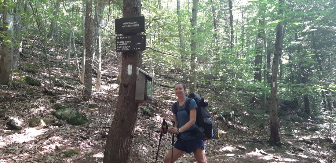
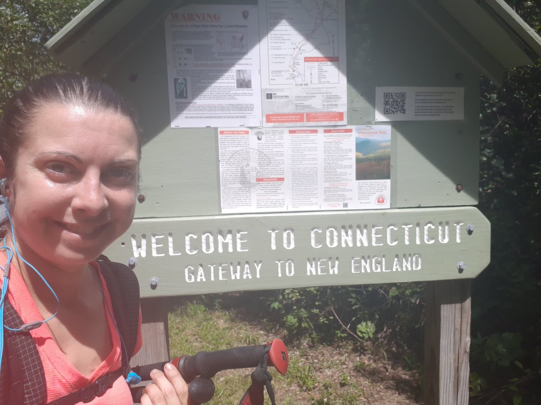
I crossed the 1500 mile mark and crossed into Massachusetts! I saw another bear today right before the 1500 mile mark. It was about 50 yards right off the trail.
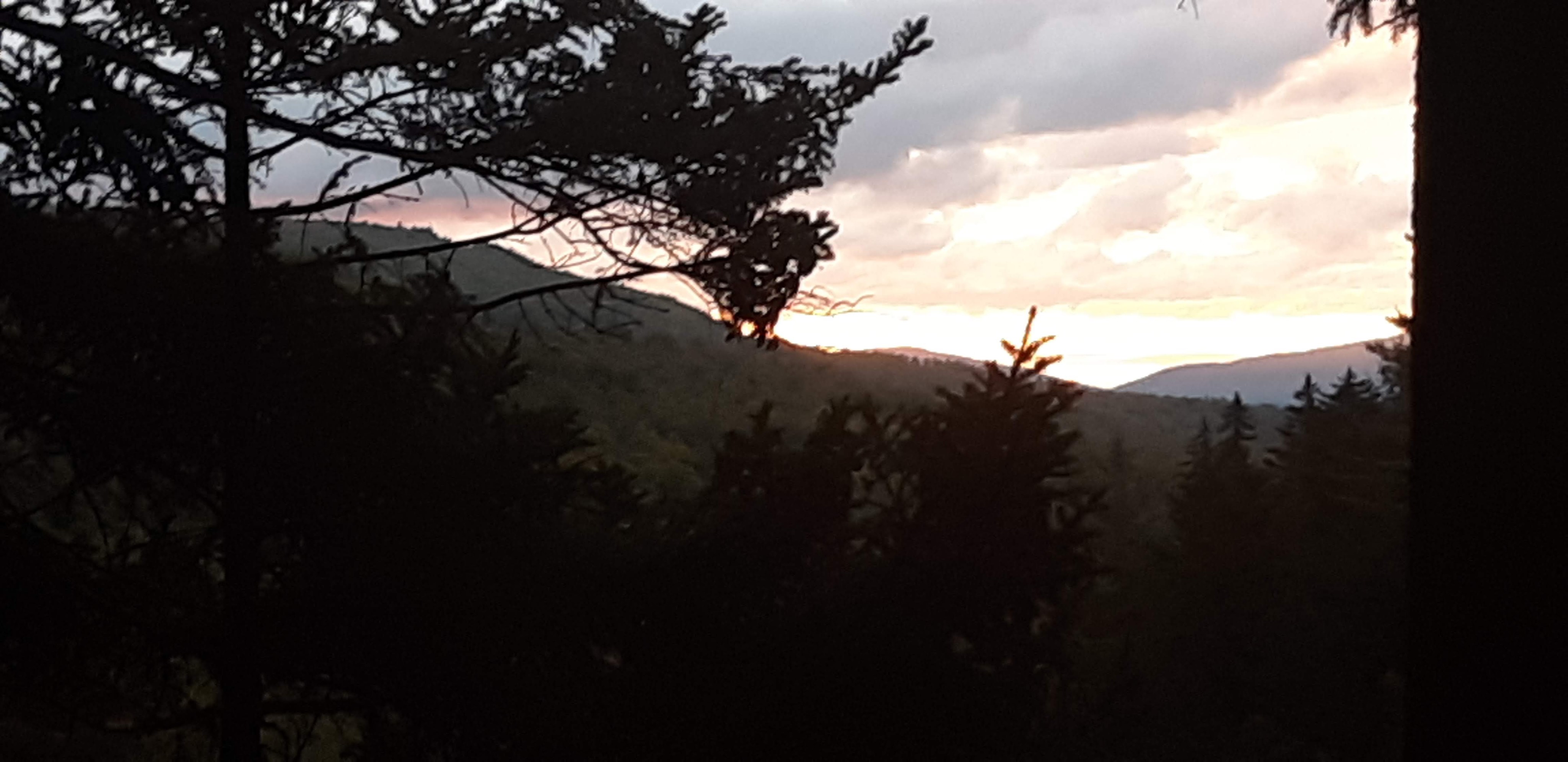
I also night-hiked a little to make it to the Riga Shelter and got some sunset views on the way.

AT 108-117

Day 108 Allentown Hiking Club Shelter to George Outerbridge Shelter (Mile 1258.6)
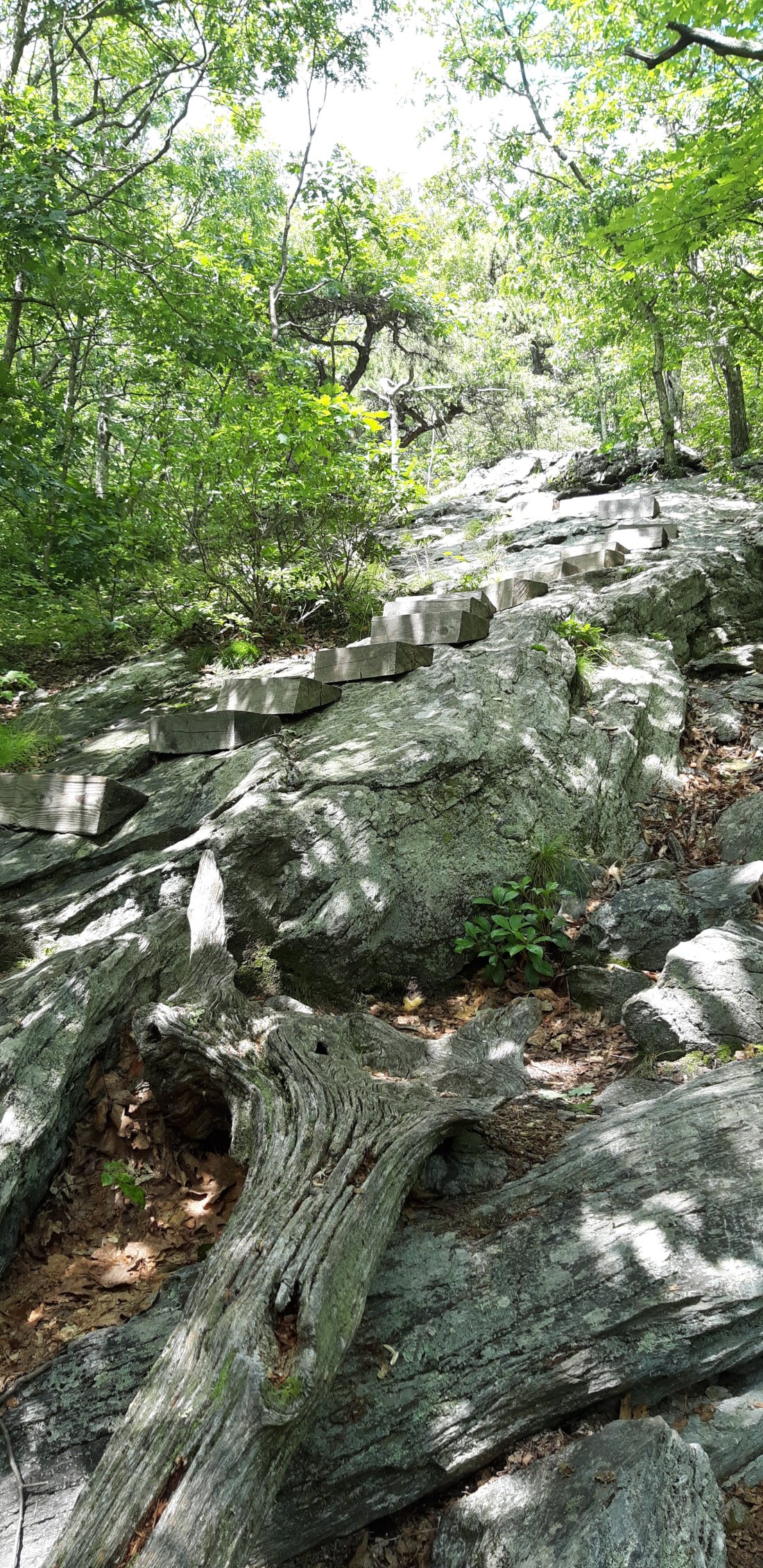
Today was super hot and I took lots of long breaks. I also completed two big sections of rock scrambling.

Knife’s Edge…And Oven Bake Knob…Beautiful views, but I would have appreciated them more if it wasn’t so hot out and rocky. And if that wasn’t enough, the trail itself is now mostly rocks as well…

Day 109 George Outerbridge Shelter to Leroy A Smith Shelter (Mile 1275.3)
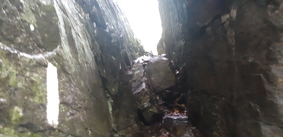
I got up early to start the climb out of Lehigh Gap. It is supposedly one of the biggest rock scramble climbs until we reach the White Mountains in New Hampshire. Also, it is a 17 mile stretch before the next water source. I usually fill up my 2 liters in the morning and refill as needed during the day. Today I brought the weight of 4 liters up the climb.After getting to the top I found some berries to snack on and took a break.It was super hot outside and the trail was exposed in lots of places. I was glad I did the climb early in the morning.

Day 110 Leroy A Smith Shelter to Delaware Water Gap, PA (Mile 1295.4)
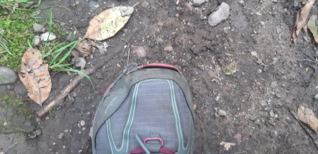
My shoes are already getting torn up from all the rocks and I’ve only had them for about a week and a half.Today we are headed to Delaware Water Gap which is at the PA/NJ border. In one of the last shelter logs, I left a note sharing my true feelings about Pennsylvania…
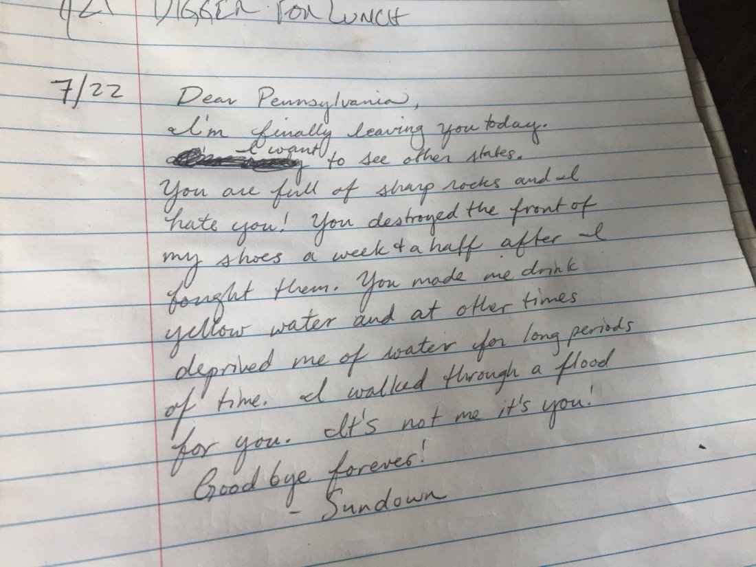
I will admit it was very motivating to be on my way out of Pennsylvania and almost into a new state. Also we passed a “<900” mark today! I can’t believe there are less than 900 miles to Katahdin!

Day 111 Zero in Deleware Water Gap, PA
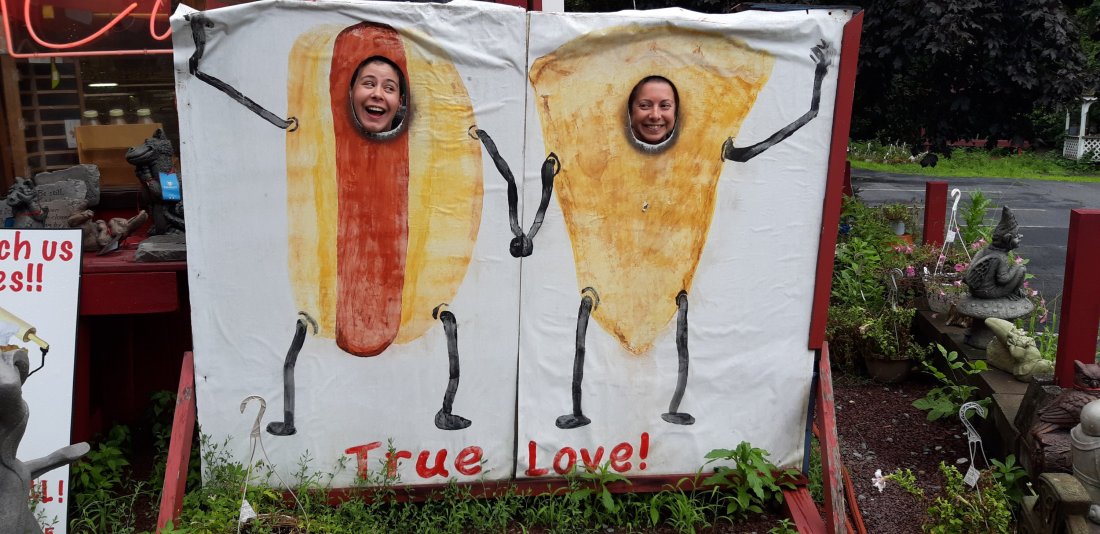
I took a zero day in Deleware Water Gap. Detroit and I had some fun with these cut-outs in front of a bakery.

Day 112 Deleware Water Gap to Rattlesnake Spring (Mile 1308.9)I finally made it out of Pennsylvania and into New Jersey! I am so ready to get into a new state. 
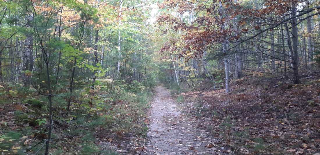
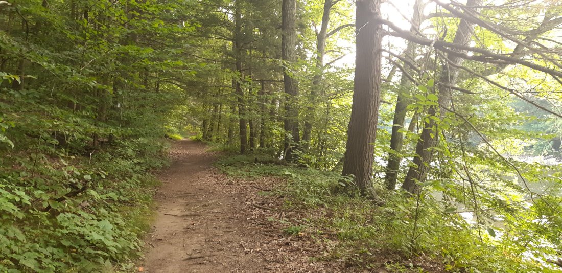
The NJ trail started off nice, already less rocks and more shade!I also hit 1300 miles today! And saw this awesome rattlesnake on the trail. The first water source was yellow just like one I saw in Pennsylvania, but safe to drink as the color is caused by plant tannins. 
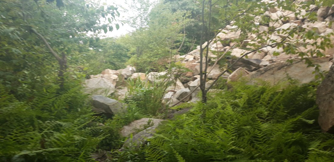
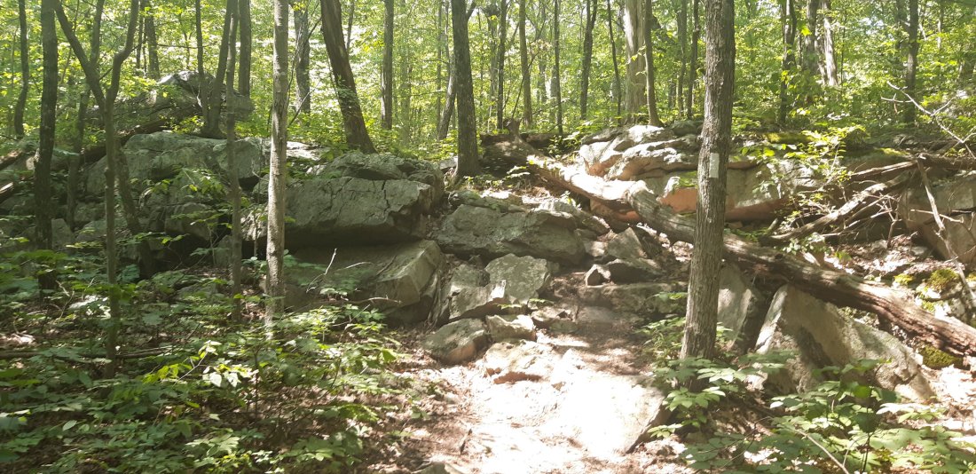
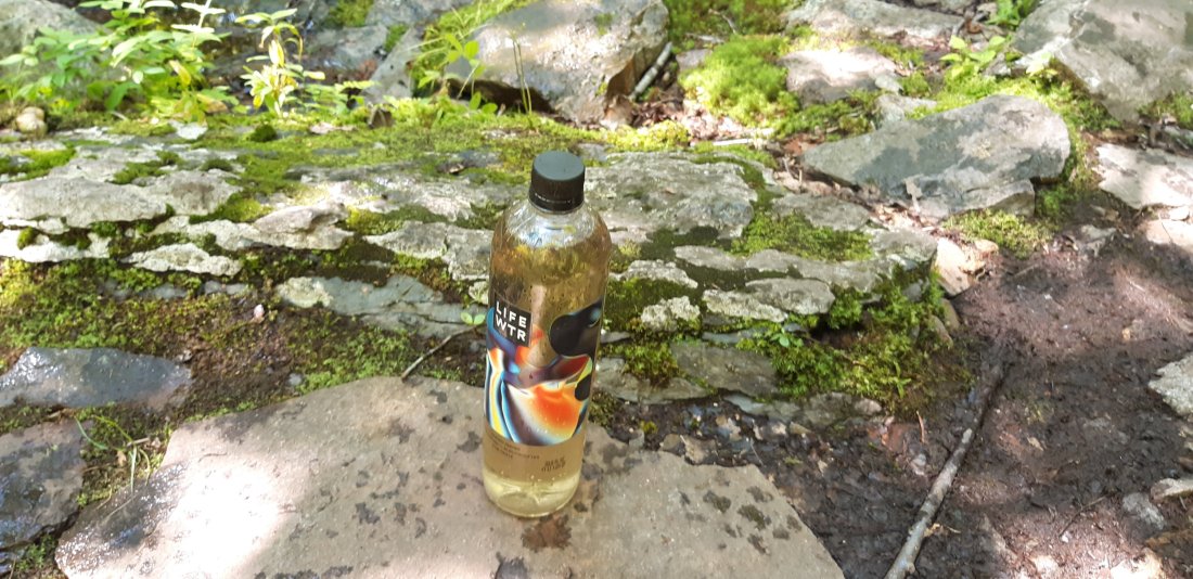
And parts of the trail are getting rocky again.

Day 113 Rattlesnake Spring to Gren Anderson Shelter (Mile 1326.8)
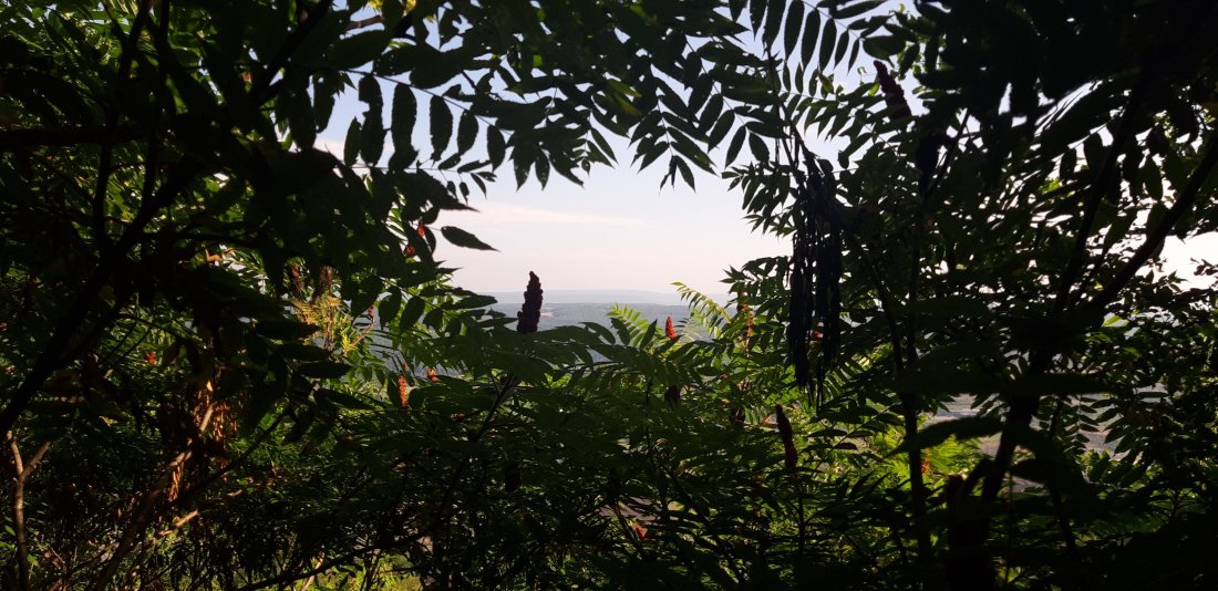
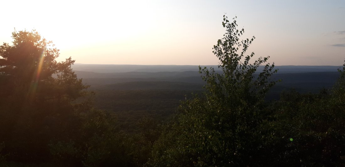
Even though it is still rocky here, there have been some amazing views lately.

Day 114 Gren Anderson Shelter to Secret Shelter (Mile 1345.1)
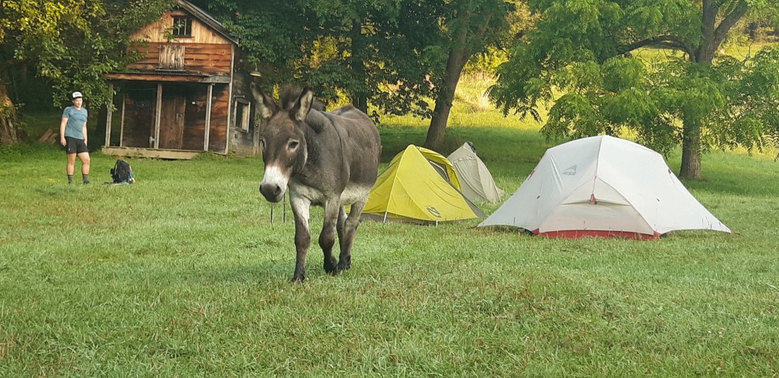
We stayed at the Secret Shelter with Jake the donkey who lives on the property.

Day 115 Secret Shelter to NJ 94 (to drive-in theater) (Mile 1358.7)

Jake walked over to socialize with us while we were having breakfast in the morning.

We hiked across a boardwalk that went on for about a mile.

We got a ride to a drive-in theater in Warwick, NY that allows thru-hikers to camp for free!

Day 116 NJ 94 to Warwick Turnpike (Mile 1364.2)

Day 117 Warwick Turnpike to Wildcat Shelter (Mile 1375.8)And another state down! I am out of New Jersey and into New York!

Looks like New York will not be easing up on the rocky climbs.

AT Days 98-107

Day 98 Unmarked Campsite to Campsite near brook (Mile 1119.4)

It might be time for some new socks…

Day 99 Campsite to US11-Carlisle, PA (Mile 1131.4)

Everyone said Pennsylvania would be rocky but the beginning is pretty nice so far.

Going into town (Carlisle, PA) it rained on us for the last mile or so. There was a steep, muddy downhill that I kinda fell and slid down.

After getting cleaned up, we found a restaurant and ate lots of yummy food!

Day 100 US11 to Stream (Mile 1141.4)

Detroit and I got some new shoes. We ended up getting newer versions of each others old shoes.

We got some amazing trail magic today! Some amazing people were cooking up steak, seared tuna and hamburgers along with cold drinks and craft beer.

Day 101 Stream to Peter’s Mountain Shelter (Mile 1160.0)

PA is starting to get rocky, but not too bad.

These power line structures make me feel like I’m in a video game and I need to defeat the boss to get to the next level.

We walked through the town of Duncannon, PA and bought some food before continuing on to the trail.

Day 102 Peter’s Mountain Shelter to Tentsite and Creek (Mile 1177.7)

We found a water source with noticeably yellow water. My understanding is that the water is yellow from plant tannins and is safe to drink.

Day 103 Tentsite and Creek to Applebee Campsite (Mile 1196.0)

I hiked out early today. I had a choice between the official AT route which included a flooded beaver dam or an alternate dry route, for about a mile. I was curious about how bad the flooded route could really be, so I chose that one.

When I got there I switched to my camp shoes to cross the flood.

Day 104 Applebee Campsite to Black Swatara Spring (Mile 1206.1)

I reached mile 1200! Less than 1000 to go!

Day 105 Black Swatara Spring to Port Clinton, PA (Mile 1219.2)

So far terrain and elevation have been pretty easy.

Day 106 Port Clinton, PA to Windsor Furnace Shelter (Mile 1225.3)

After staying a night in town, we headed back to trail.

Day 107 Windsor Furnace Shelter to Allentown Hiking Club Shelter (Mile 1241.8)

It’s starting to get rocky.

We saw a nice view today from the “Pinnacle”. Even the views in Pennsylvania are rocky.

AT Days 88-97

Front Royal to Jim and Molly Denton Shelter (Mile 976.7)

Today was a small mileage day, as we hiked to the first shelter.Some friends brought veggies to cook over the fire which were amazing.

Day 89 Molly Denton Shelter to Rod Hollow Shelter (Mile 995.1)

I got up early with 2Dogs to hike a “10 before 10” (10 miles before 10am.) We walked through so many spider webs first thing in the morning, but we made it to a shelter 10 miles away before 10am and took a long break there.

We met up with Detroit and the three of us hiked and played 20 questions to help pass the time.

Day 90 Rod Hollow Shelter to Unmarked Campsite (Mile 1008.4)

We hiked the “Roller Coaster” today, which was a series of climbs and descents over about 13 miles. It was hot outside, but luckily there were frequent water sources.

Also made it to the 1000 mile mark!

Day 91 Unmarked Campsite to another unmarked campsite (Mile 1021.2)

Today was another hot day. Also, there are lots of bugs that hover in front of my face and then try to fly into my eyes.

2Dogs and I created the Complaining game, where we just took turns complaining. We started off trying to get a list of 10, but ended up going for hours instead (my back hurts, my feet hurt, these rocks are making my feet numb, etc…).

Day 92 Campsite to Harper’s Ferry (Mile 1025)

We hiked as a group to Harper’s Ferry, the “psychological halfway point”, and got our pictures taken at the ATC. According to the scale at the ATC visitor center, I have lost 12 pounds since I started my thru hike!

Day 93 Harper’s Ferry to Ed Garvey Shelter (Mile 1031.8)

Also took a side trip to DC and checked out some of the historic sites.

I made it back to Harper’s Ferry and back on the trail for a 6 mile hike to the next shelter. Also I’m in Maryland now!

Day 94 Ed Garvey Shelter to Annapolis Rock Campsite (Mile 1050.0)

I hiked with Detroit to the “other” Washington Monument on the trail.

So far Maryland has been a nice break having flat, smooth trails.

Day 95 Annapolis Rock to Falls Creek Footbridge (Mile 1067.1)

I woke up to find that even though I hung my bear bag, I left a bag of bacon jerky in my tent under my sleeping pad.

I’m already out of Maryland and into Pennsylvania. I’m excited to enter a new state!

Day 96 Falls Creek Footbridge to Quarry Gap Shelters (Mile 1086.9)

Day 97 Quarry Gap Shelters to Unmarked Campsite (Mile 1105.3)

I hit a couple milestones today. I reached the halfway point (mile 1096).

And… I also reached mile 1100.

I think the achievement I’m most proud of though is testing the limits of hiker hunger and eating an entire 1.5 quart carton of ice cream! (I attempted the half gallon challenge, but didn’t quite eat a full half gallon…)