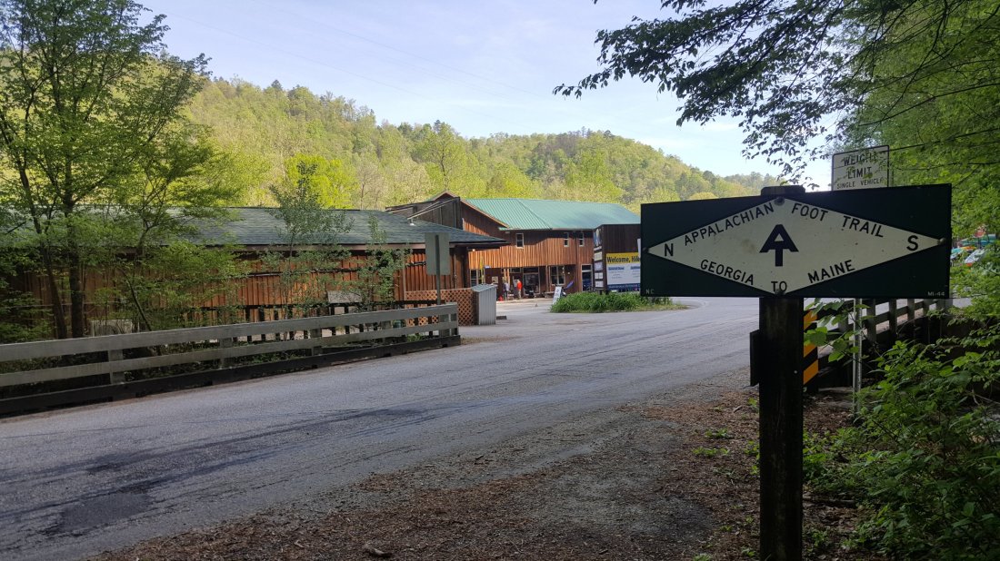
Day 24 Fontana Dam Shelter to Mollies Ridge Shelter (Mile 177.7)
(Entering Great Smokey Mountains National Park)
I was amused at the white blazes painted on the back of a sign, and a drinking fountain. The trail continues to be marked regardless of whether trees are available or not.
Before entering the Smokies, I got some great views of Fontana Dam. I took my time on the mile or so to the entrance of the Smokies.


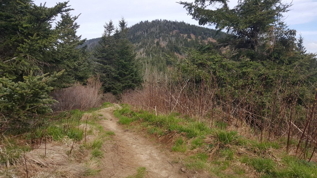
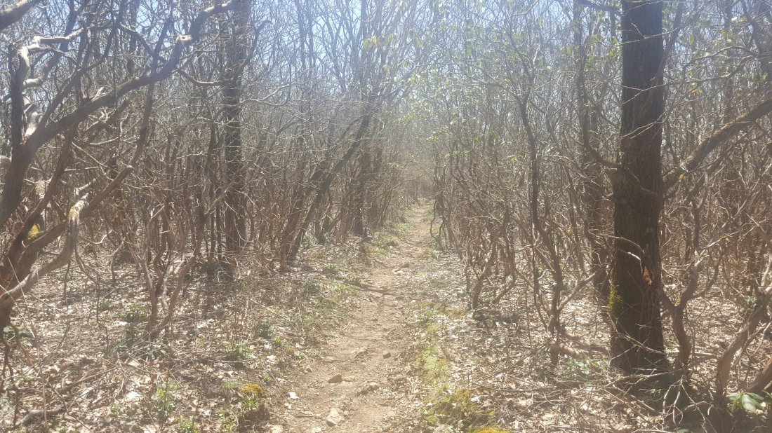
I eventually entered the Smokies and had a mostly uphill hike. I had a really enjoyable hike despite the constant uphill climbing. The weather was cool and dry.

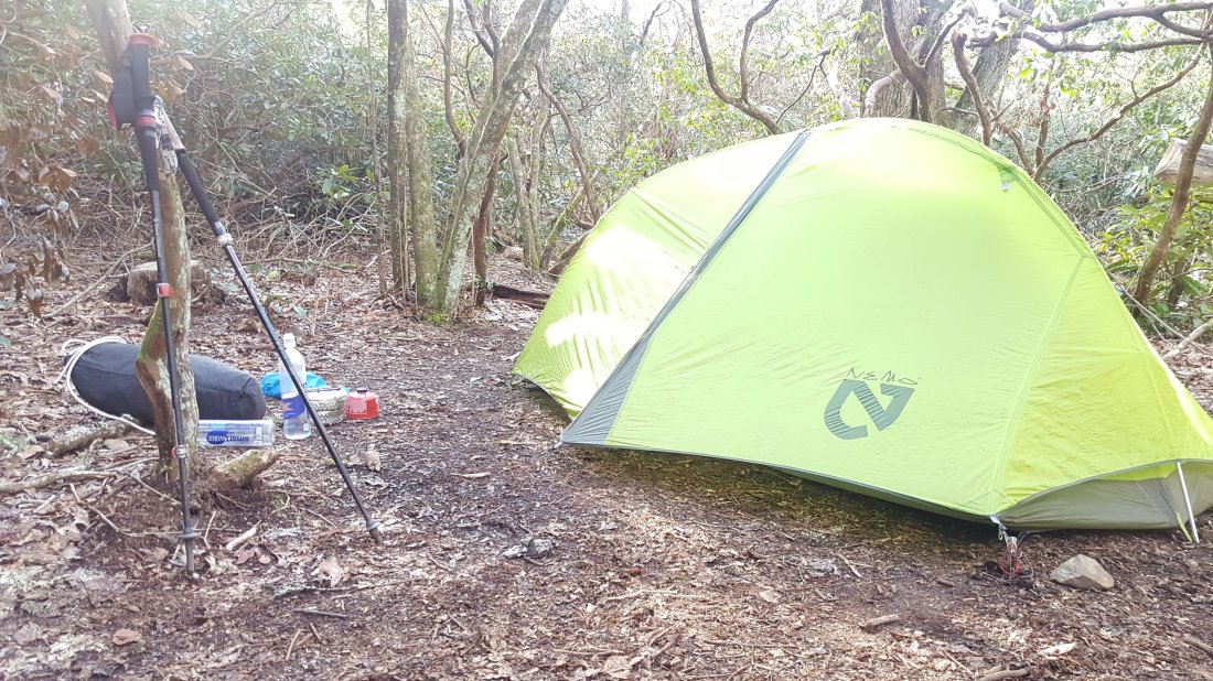
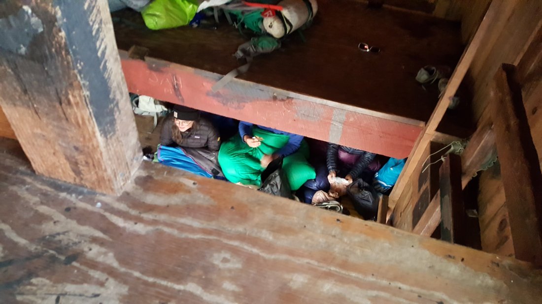
In the Smokies, thru hikers are required to stay in shelters unless they are full. I was one of the last to get to the shelter, so had to tent. I was actually happy with that result, rather than sleeping shoulder to shoulder with other hikers.
Also, I saw a deer when I arrived at the shelter!

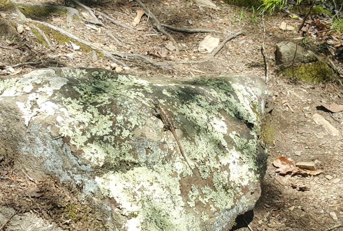
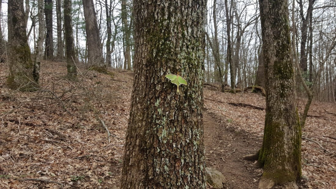
I had a visit from a creepy critter (caterpillar or centipede?) on my tent and watched it with my headlamp as it crawled around the outside of my tent.
Day 25 Mollies Ridge Shelter to Derrick Knob Shelter (Mile 189.8)
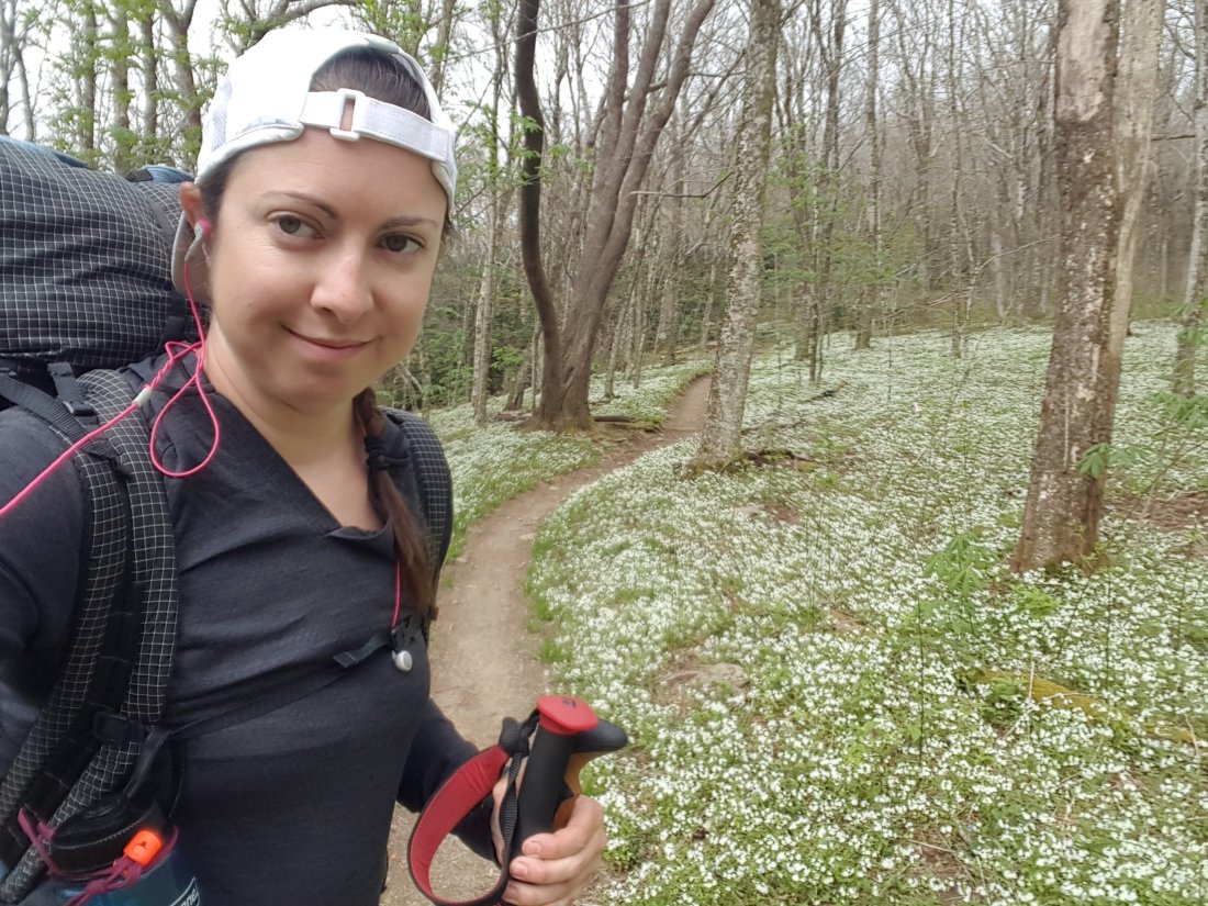
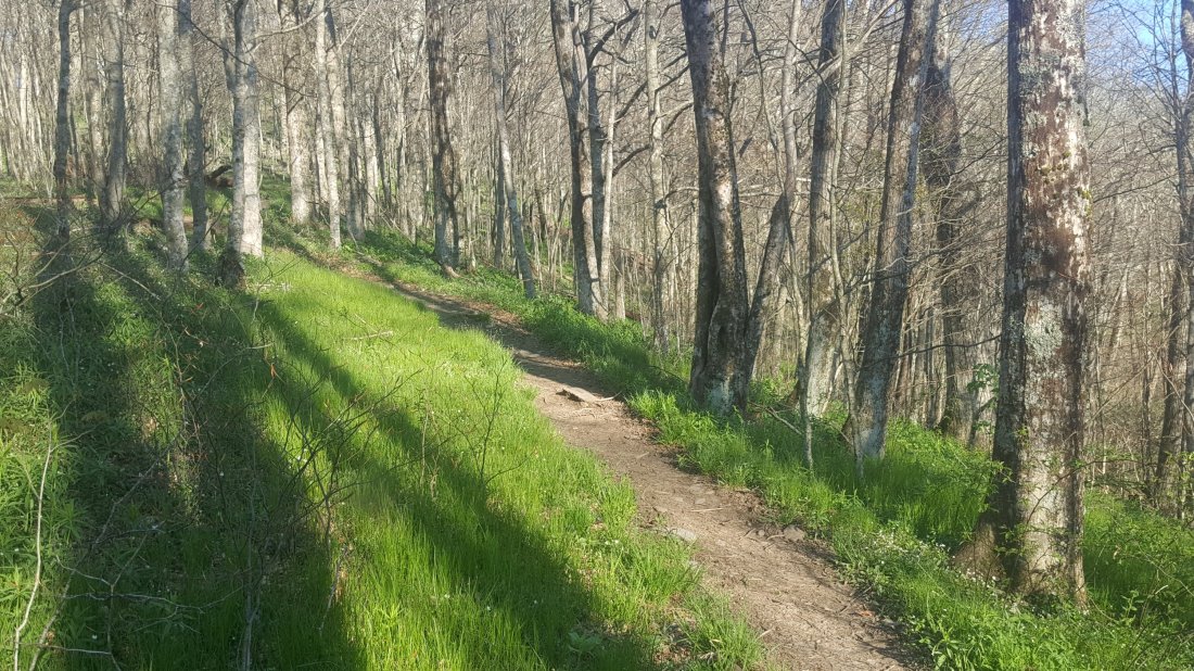
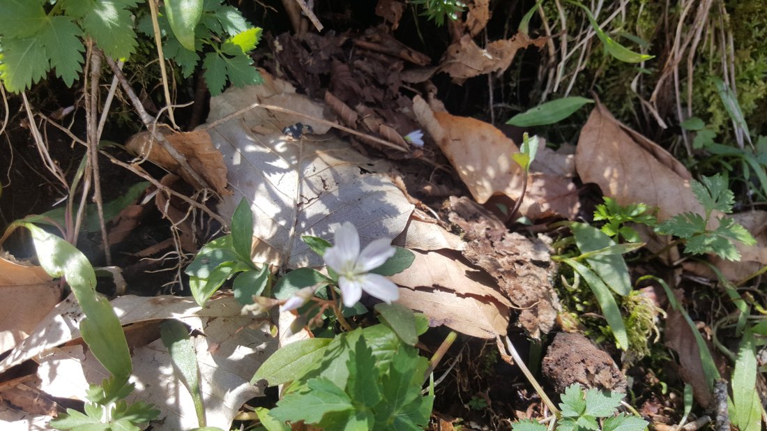
Today was another beautiful day to hike. Great weather and pretty trees and flowers all around.

I stopped at a shelter along the way for lunch and a hammock nap.
I had a brief encounter with wildlife on my last quarter mile of the hike. As I was hiking up a hill, I looked up and saw a family of boars running on the trail in my direction. There was a mom and three babies. All I could think to do was get off the trail, and make noise with my trekking poles. They stopped for a few seconds on tge trail and ran off the side of the trail and down a hill. (I didn’t get a picture.) And then I proceeded to hike toward whatever they were running away from… It was probably just other hikers that scared them down the hill in the first place.
Day 26 Derrick Knob Shelter to Mt Collins Shelter (Mile 202.8)
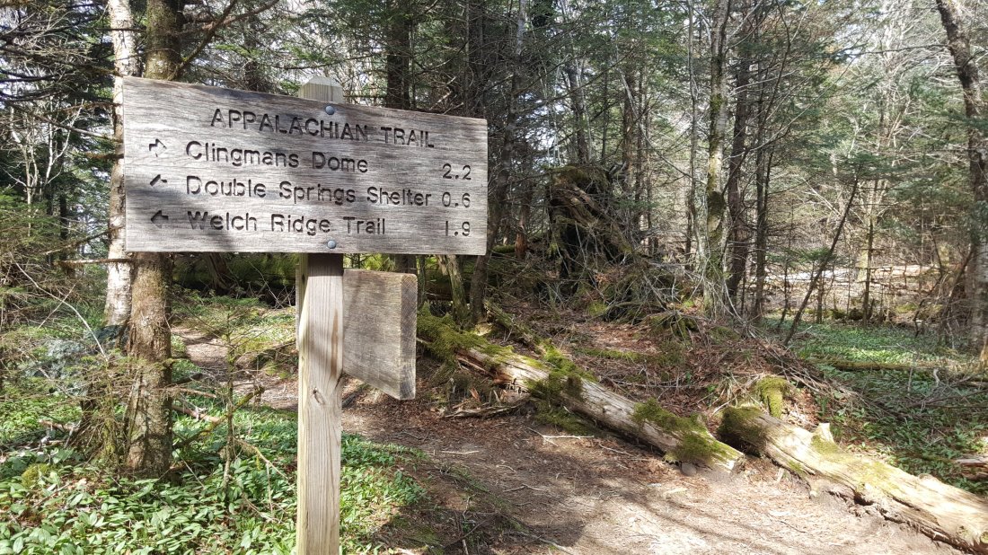
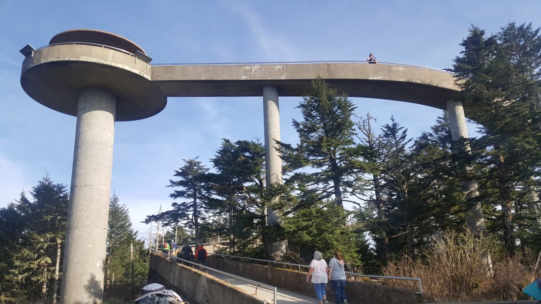
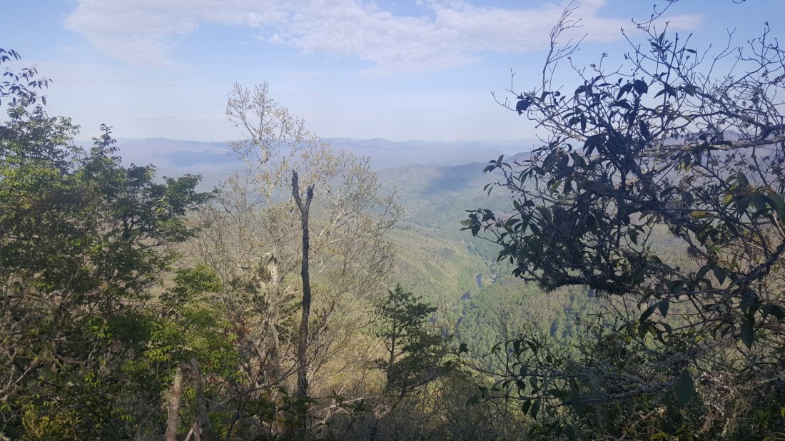
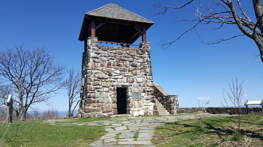
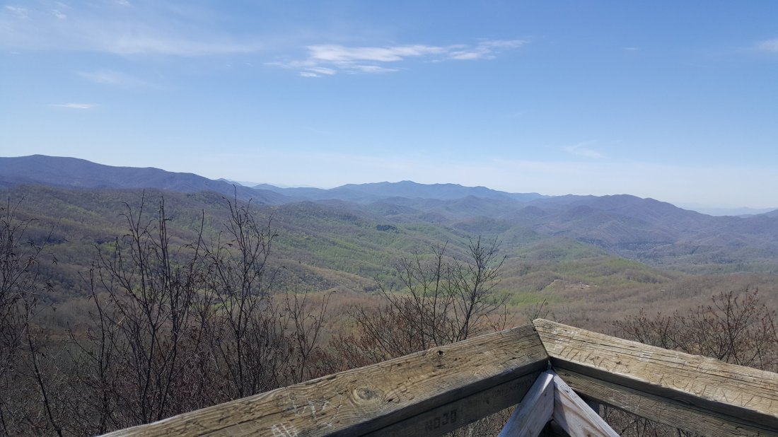
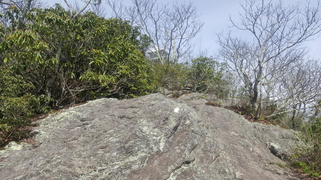
Today I got to the top of Clingman’s Dome, the highest point on the AT, and I have also hiked over 200 miles on the AT!
Here is a view of Clingman’s Dome from about a mile away…
And of course, I climbed the tower and enjoyed the view.


Day 27 Mt Collins Shelter to Newfound Gap (Mile 207.7)

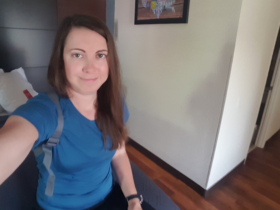
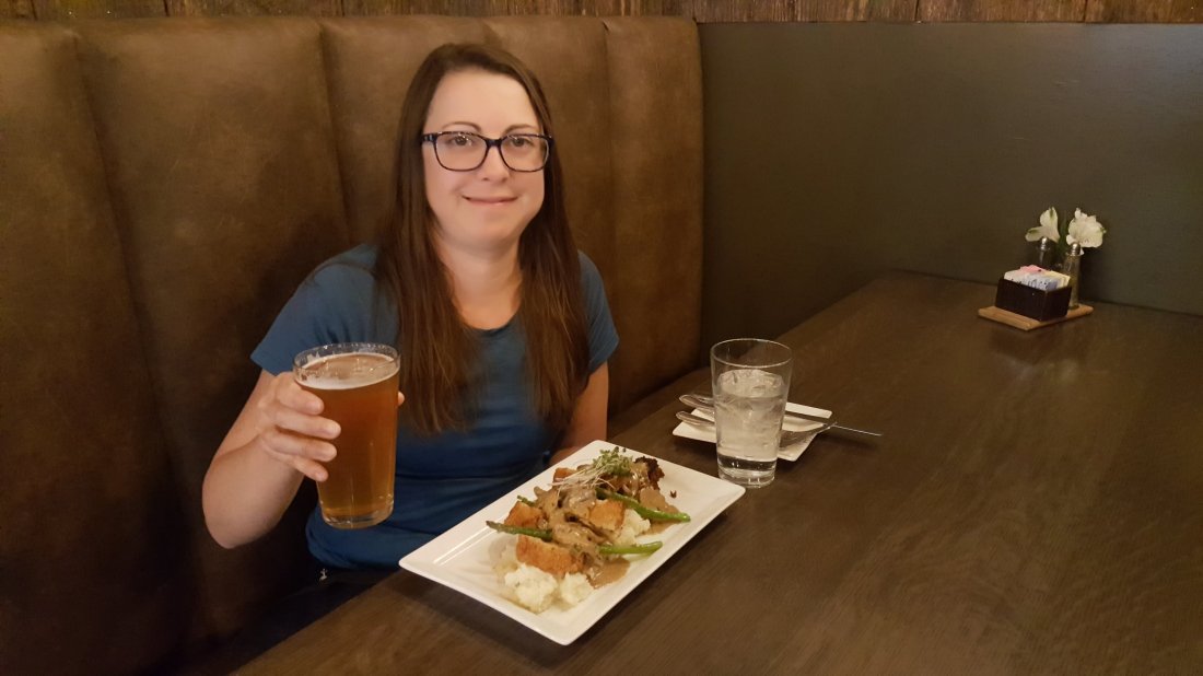
Today I decided to go into Gatlinburg, to enjoy a night in a hotel. I enjoyed a cool 5 mile hike first.

I got to a parking lot a Newfound Gap, and caught the last seat on a shuttle into town just as it was leaving.
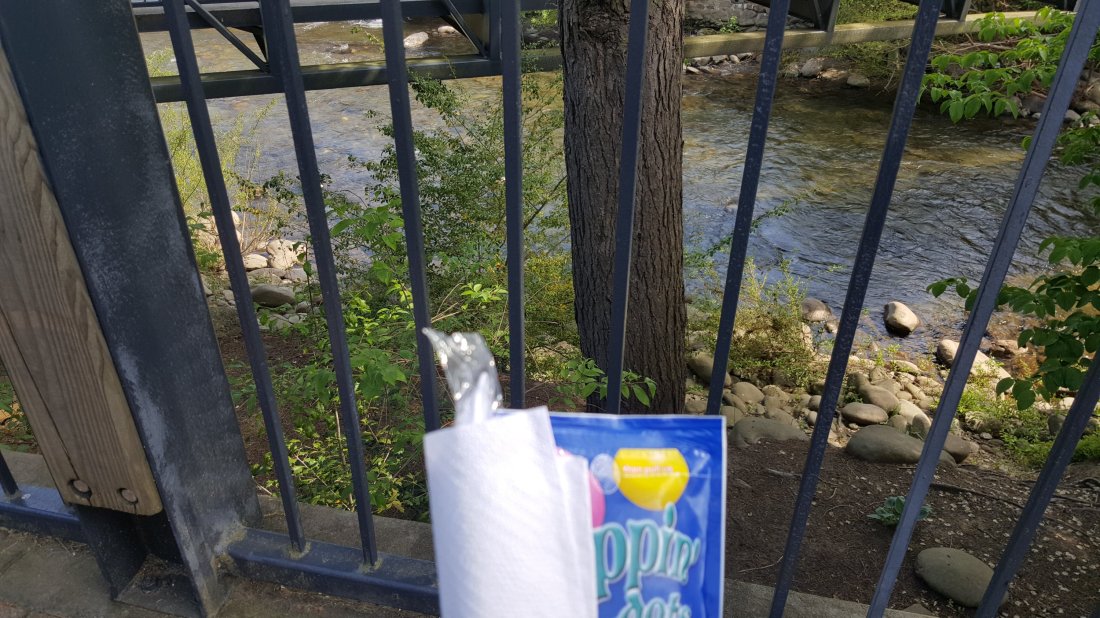
I got shower, dinner at a restaurant, and walked around town. I sat and watched some geese by a bridge after dinner.


 I learned that if you leave your shoes next to a heater in a hostel for a couple of days, the insoles will melt. Luckily I was able to buy some new inserts before shuttling back to the trail.
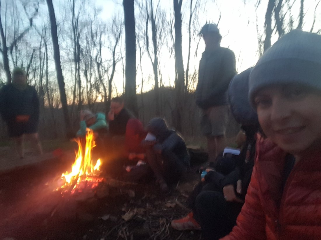
 The campsite had a beautiful grass field, where everyone set up their tents. We also had some fun with a ukulele by campfire.

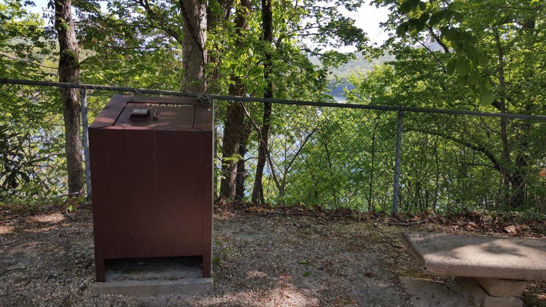
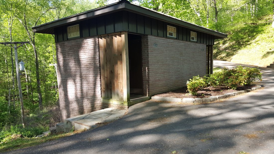
 Today was another 12 mile day, with several uphill climbs. Today’s hike included a climb up Wayah Bald. In addition to finding an actual restroom and trash cans, I was rewarded with amazing views!
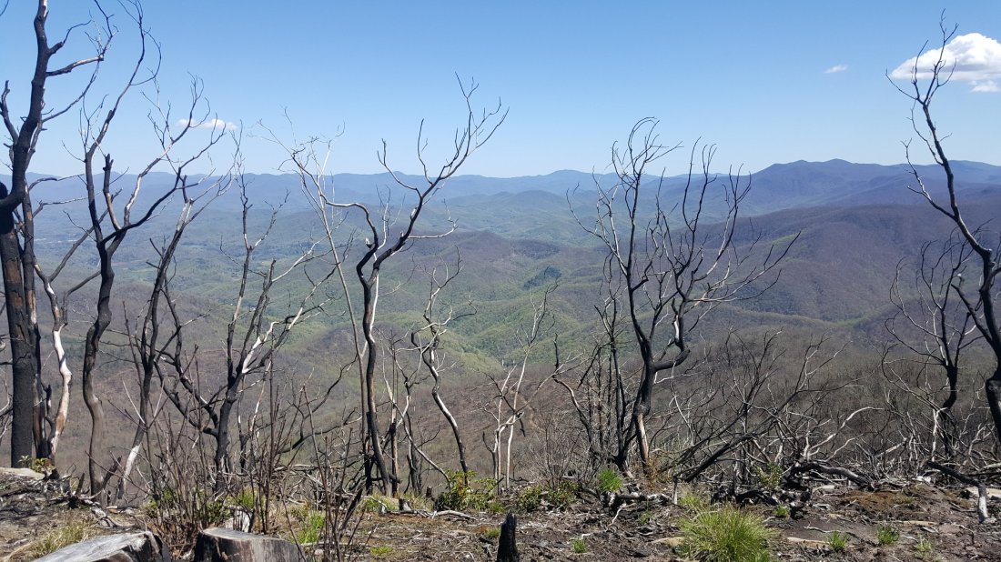
 The second half of the hike I tried to make up time since I stopped for a few breaks on the climb. Made it to the campsite behind the shelter before dark.
 Today included a climb up Wesser Bald, with a view from the observation tower.
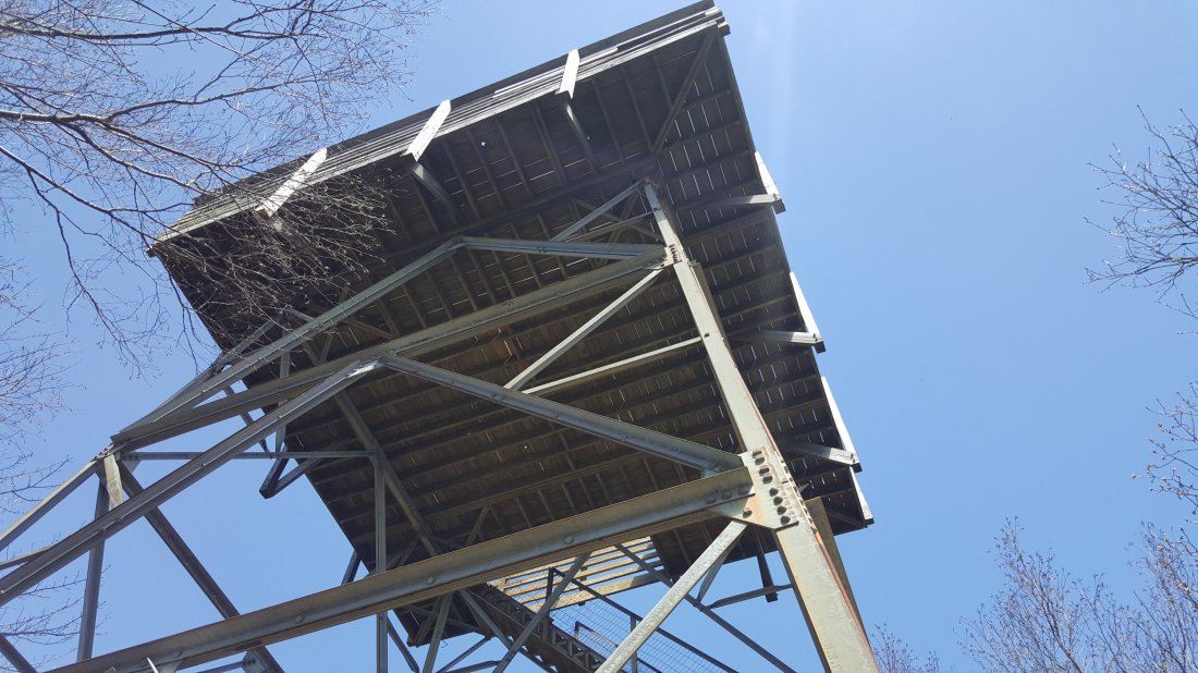
 Some hikers just ahead of me saw a rattlesnake near Wesser Bald. I did not see it, but was super careful watching out for them the rest of the day!


 Today was supposed to be a rainy day according to other hikers. I made myself a cold coffee to go in an effort to save time and beat some of the rain. It actually turned out to be a really nice sunny day instead.
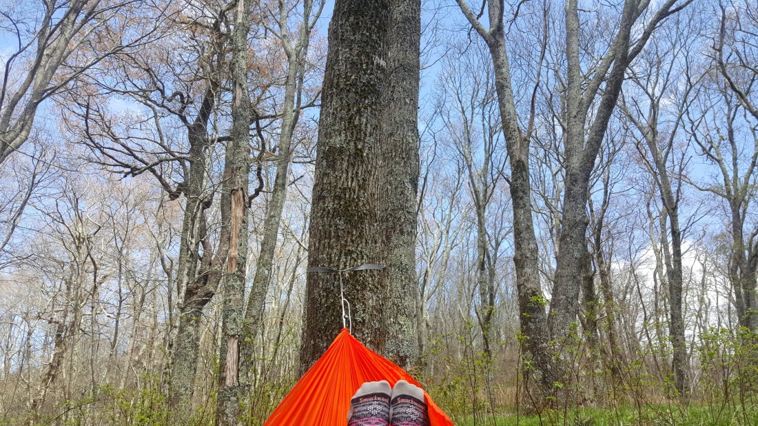
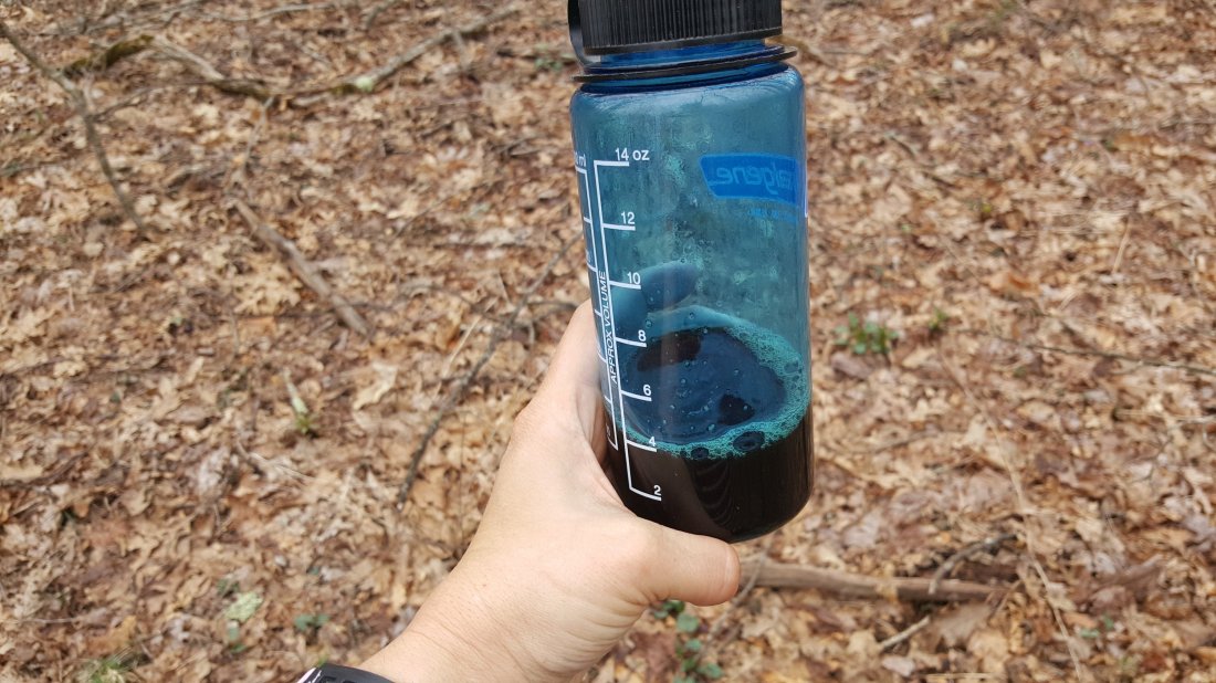 I took a little hammock break today. I think this is my favorite luxury item.
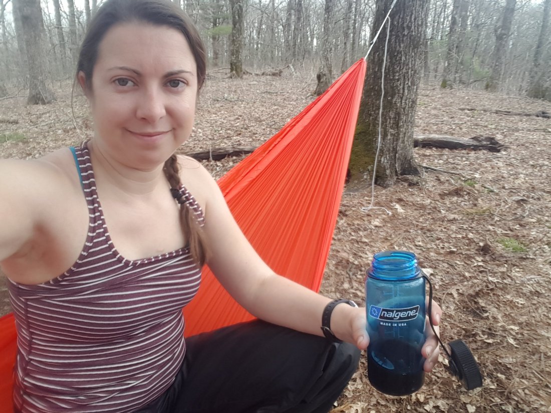
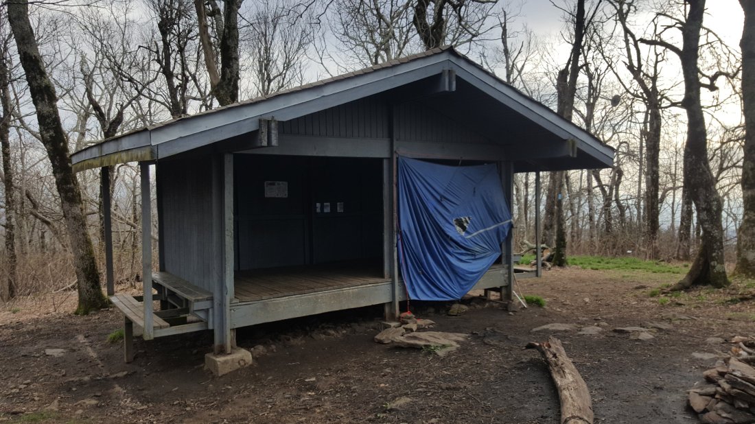
 Also today was my first time sleeping inside one of the shelters. This one had two floors and I got a spot on the 2nd floor.


 Today was tricky to plan. Basically in 5 miles was Woody Gap, which has road access and a chance to go into town and rest (I am super sore at this point so considered it…) 5 miles past that is the next good campsite (lots of space, water source). 5 miles beyond that is an area that I cannot camp because a hard shelled bear canister is required, which I do not have. So it comes down to Option A: 10 mile hike today, 5 mile hike tomorrow or Option B: 5 mile hike today, 10 mile tomorrow. Later I found out it was supposed to rain tomorrow, so I decided to push through and do 10 miles today and only 5 in the rain (Option A).
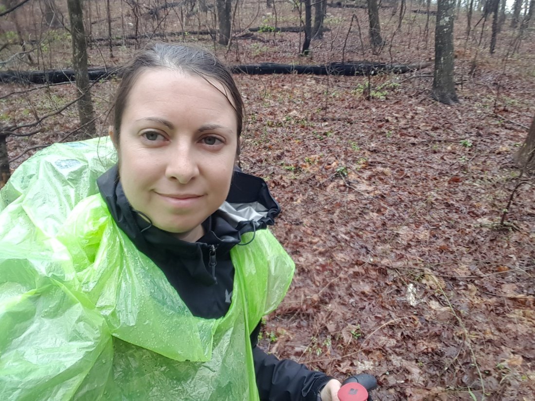
 I started with Lorin again. Surprise-surprise, we did not get an early start, even though we were trying for a longer day.We stopped and had lunch at Woody Gap, then pushed on to our 10 mile goal of Jarrard Gap. We were both a little stressed as it got passed 7:30. I pulled out my head lamp just in case we would be stuck hiking in the dark.Luckily we made it to camp around 8pm, just as it started getting dark and quickly set up our tents. Tom was there! He got out of his tent and started helping us set up.Before I could finish setting up my tent, rain started coming down. I hadn’t eaten dinner yet so I quickly ate a protein bar while I walked to hang my food in the rain. I got back in my wet tent and changed into dry clothes.Even though the day was super stressful, I was left with a feeling of adrenalin. We won the day and made it safely before the dark and rain.Also, I made it over a marathon on the AT!! (Jarrard Gap is mile 26.3)Day 5 Jarrard Gap to Neels Gap (Mile 31.3)Today I was ready and on my way by 8:30am!! I finally got going early.
 My plan was to get going and reach Neels Gap early so I could spend most of the day off my feet.

 Today’s hike included climbing Georgia’s highest point, Blood Mountain. At the top I found Blood Mountain Shelter. Inside I met Quartz, who was giving Tarot readings and offering coffee and tea. It was warm inside the shelter, and I took a longer break than planned.
 I had about 2 miles to go after the shelter. Not long after I left, it started raining. For the last mile it was pouring hard.I got to Neels Gap and checked into a hiker hostel, got a hot shower and a frozen pizza.
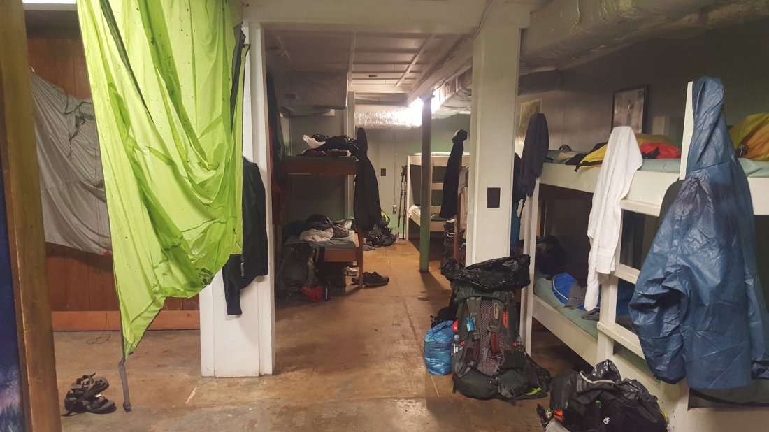

 I got dropped off at the Amicalola Visitor center. I had one minor set back as I was getting ready to start. One of my trekking poles wouldn’t set. I messed with it for a few minutes before deciding to just pack it and just use one.The hike was beautiful and challenging. I definitely underestimated the 604 stairs on the approach trail.
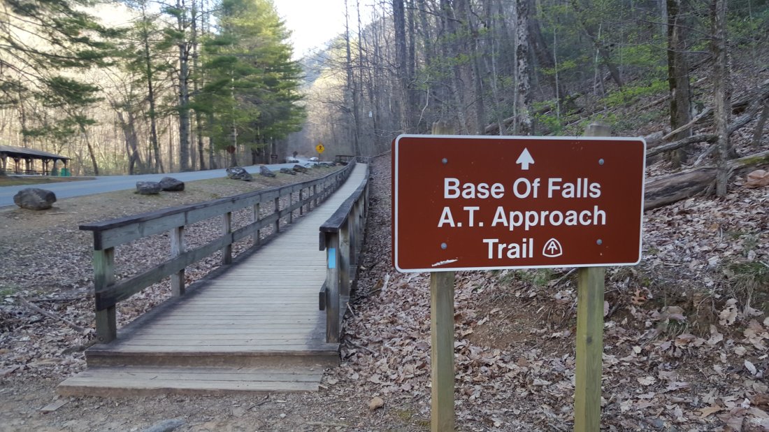

 I ended up hiking with a man named Tom for the last couple miles or so. Eventually we made it to the first official white blaze and start of the Appalachian Trail!
 A little past this point I found Springer Mountain Shelter, which was full so I pitched my tent nearby, met some of the other hikers and settled in for my first night.Day 2 Springer Mountain Shelter to Hawk Mountain Campground. Mile 7.4.I woke up and noticed the overnight rain got some of my stuff wet including the outside of my sleeping bag which was touching one of the tent walls.I was really slow to pack up all of my wet stuff and eat breakfast before heading out. It was about 11:30am before I got going. All of the other hikers had already moved on.
 I stopped at Stover Creek Shelter (about 2.8 miles) for lunch and to try to air out my tent.I was extremely happy to finally get to the next campsite before it got dark. My feet were killing. I met up with Tom and Lorin who I met on day 1. I set up my tent in a site next to them and we all had dinner together. I went to sleep with the goal of getting an earlier start tomorrow.Day 3 Hawk Mountain Campground to Gooch Mountain Shelter (Mile 15.7)
 Today I hiked with my new friend Lorin. Tom had gotten an early start and left while I was still eating breakfast. I did not manage to get out early today.Most of the hike was fairly uneventful, beautiful scenery and overcoming pain in feet and shoulders.
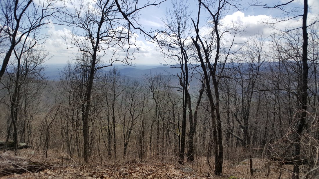 One amazing thing did happen though. We stopped to get water, and a guy at the creek complained that he was carrying an extra trekking pole for another guy he hadn’t met that lost it. I mentioned that I was using 1 pole and could take it off his hands. So I got to finish the last 2 miles with two pole which was awesome! The trail provides!

